Download
1 / 16
160 likes | 327 Views
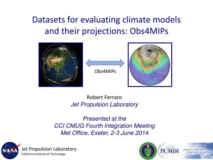
Datasets for evaluating climate models and their projections: Obs4MIPs. O bs4MIPs. Robert Ferraro Jet Propulsion Laboratory Presented at the CCI CMUG Fourth Integration Meeting Met Office, Exeter, 2-3 June 2014. Jet Propulsion Laboratory California Institute of Technology.

E N D
Datasets for evaluating climate models and their projections: Obs4MIPs Obs4MIPs Robert Ferraro Jet Propulsion Laboratory Presented at the CCI CMUG Fourth Integration Meeting Met Office, Exeter, 2-3 June 2014 Jet Propulsion Laboratory California Institute of Technology
Initial Sentiments Behind obs4MIPSUnder-Exploited Observations for Model Evaluation How to bring as much observational scrutiny as possible to the CMIP/IPCC process? How to best utilize the wealth of satellite observations for the CMIP/IPCC process?
Model and Observation Overlap Where to Start? For what quantities are comparisons viable? Taylor et al. 2008 Example: NASA – Current Missions ~14 Total Missions Flown ~ 60 Many with multiple instruments Most with multiple products (e.g. 10-100s) Many cases with the same products Over 1000 satellite- derived quantities ~120 ocean ~60 land ~90 atmos ~50 cryosphere Over 300 Variables in (monthly) CMIP Database
obs4MIPs: The 4 Commandments Use the CMIP5 simulation protocol (Taylor et al. 2009) as guideline for selecting observations. Observations to be formatted the same as CMIP Model output(e.g. NetCDF files, CF Convention) Include a Technical Note for each variable describing observation and use for model evaluation (at graduate student level). Hosted side by side on the ESGF with CMIP model output. Observation Experts Modelers Target Quantities Model Output Variables Analysis Community Satellite Retrieval Variables Initial Target Community
obs4MIPs “Technical Note” Content • Intent of the Document • Data Field Description • Data Origin • Validation and Uncertainty Estimate • Considerations for use in Model Evaluation • Instrument Overview • References • Revision History • POC
Evolution and Status of obs4MIPs • Pilot Phase - CMIP5 • Initial protocols – variables, sources & documentation • Compatibility with CMIP file formats and ESGF • PCMDI Science & GSFC IT Workshops • Identified and provided ~ 15 variables • Expanding the Pilot • Additional data types, sources, variables (e.g., CFMIP, CMUG, CEOS, reanalysis) • Reconsidering the initial guidelines/boundaries • Some partial oversight & governance: NASA+ Working Group • Planning Ahead – CMIP6 • Identify additional data sources / remaining variable gap across Earth System • Judicious/expanded model output considerations, including satellite simulators • Increasing community input on objectives and on implementation contributions • Broadening awareness & governance: WDAC obs4MIPs Task Team
obs4MIPs: Current Set of Observations https://www.earthsystemcog.org/projects/obs4mips/satellite_products
obs4MIPs: Access Statistics (NASA Datasets Only) 119 unique* users from 16 countries 641 dataset downloads in 2012-13 As of Nov 2013 (NASA datasets only) * “Unique” counts unique user ID downloads of a complete dataset, not individual files. Repeat downloads of the same dataset by the same user were counted only once.
Evolution and Plans of obs4MIPs • Pilot Phase - CMIP5 • Initial protocols – variables, sources & documentation • Compatibility with CMIP file formats and ESGF • PCMDI Science & GSFC IT Workshops • Identified and provided ~ 15 variables • Expanding the Pilot • Additional data types, sources, variables (e.g., CFMIP, CMUG, CEOS, reanalysis) • Reconsidering the initial guidelines/boundaries • Some partial oversight & governance: NASA+ Working Group • Present: Planning Ahead – CMIP6 • Identify additional data sources / remaining variable gap across Earth System • Judicious/expanded model output considerations, including satellite simulators • Increasing community input on objectives and on implementation contributions • Broadening awareness & governance: WDAC obs4MIPs Task Team • Future • More synergistic feedbacks between model development/improvements and new mission/observation definitions and prioritization
WDAC Obs4MIPs Task Team Constituted under the auspices of the WCRP Data Advisory Council (WDAC) Established to “internationalize” NASA & DOE initiatives (obs4MIPS, ana4MIPS, etc.) Potential contributions from within and outside WCRP Users: from weather to climate, global to regional Challenge for obs4MIPs (and ESGF in general): adding flexibility beyond the “global climate model/data” initial standard Challenge for the Task Team – sort through the competing interests in the future direction of obs4MIPs, and provide guidance …
obs4MIPs - CMIP6 Planning Meeting April 29 - May 1, 2014 NASA Headquarters, 300 E Street SW, Washington, DC Obs4MIPs Meeting Organizers Robert Ferraro, Duane Waliser – NASA Jet Propulsion Laboratory Peter Gleckler, Karl Taylor – Lawrence Livermore National Laboratory Veronika Eyring – German Aerospace Center Jet Propulsion Laboratory California Institute of Technology
Obs4MIPs – CMIP6 Planning Meeting An opportune moment to consider how to coordinate osb4MIPs with the CMIP6 planning activities Over 90 experts in modeling or data products invited – 60 attended Meeting objectives: • What’s working well so far? • What’s not working? • What’s missing (or can be done better)? Sessions covered the major elements of Earth System Models • Atmospheric Composition & Radiation • Atmospheric Physics • Terrestrial Water & Energy Exchange, Land Cover/Use • Carbon Cycle • Oceanography & Cryosphere • Special Topics
Obs4MIPs – CMIP6 Planning Meeting Report to be published on the obs4MIPs CoG site (soon ..) Major findings – • Expand the inventory • Include higher frequency datasets, and higher frequency model output. • Reliable and defendable error characterization/estimation of observations • Include datasets in support of off-line simulators (aka observation proxies). • Reanalysis serves many useful purposes, but reanalysis fields should not be used when observations are available. Inclusion of reanalysis fields in obs4MIPs should be done with considerable care and forethought. • Collocated observations are particularly valuable for diagnosing certain processes. Consideration should be given to arranging for collocated datasets, including sparser in situ data, of known value to specific evaluations. • Precise definitions of data products, including biases, and precise definitions of the model output variables are required.
Obs4MIPs – CMIP6 Planning Meeting Additional Recommendations (not consensus) – • Relax the “model-equivalent” criteria for inclusion in obs4MIPs. • Requiring averaging kernels for the retrieval observations. • Evolve to address process diagnostics and model development, in addition to evaluation. • Sparse In-Situ datasets – where to start, how far to go? • Inclusion of more Satellite Simulators (aka Observation Proxies) in the CMIP experiments. • No gatekeeping … Just format enforcement ….
Obs4MIPs – CMIP6 Planning Meeting WDAC Task Team to be charged with sorting this out ….
Conclusion Obs4MIPs is evolving under the guidance of the WDAC Task Team Looking forward to adding CCI datasets as they become available Many issues to sort out going forward … Find obs4MIPs at its new digs … https://www.earthsystemcog.org/projects/obs4mips/ Or Google “obs4MIPs”