Download
1 / 80
800 likes | 878 Views
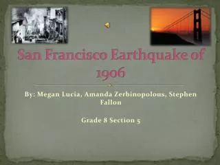
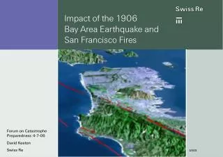
History about the 1906 Earthquake in San Francisco

E N D
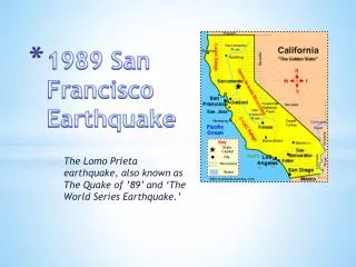
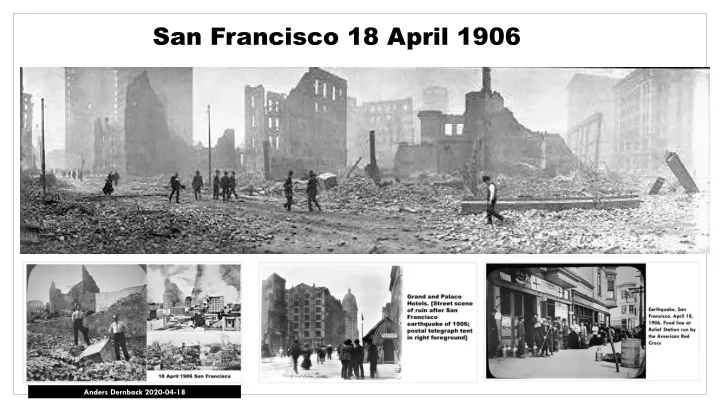
San Francisco 18 April 1906 Anders Dernback 2020-04-18
April 18 – 1906 San Francisco
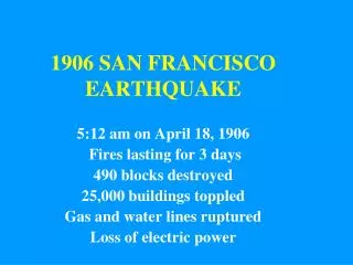
UTC time 1906-04-18 13:12:27 ISC event 16957905 USGS-ANSS Local date Local time05:12 a.m. local time Magnitude Depth 5 mi (8.0 km)[2] Epicenter 37.75°N 122.55°WCoordinates: 37.75°N 122.55°W Type Strike-slip Areas affected North Coast San Francisco Bay Area Central Coast United States Max. intensity XI (Extreme) Tsunami Yes ComCat April 18, 1906 7.9 Mw The 1906 San Francisco earthquake struck the coast of Northern California at 5:12 a.m. on Wednesday, April 18 with an estimated moment magnitude of 7.9 and a maximum Mercalli intensity of XI (Extreme). High intensity shaking was felt from Eureka on the North Coast to the Salinas Valley, an agricultural region to the south of the San Francisco Bay Area.
USGS ShakeMap showing the earthquake's intensity. The 1906 earthquake preceded the development of the Richter magnitude scale by three decades. The most widely accepted estimate for the magnitude of the quake on the modern moment magnitude scale is 7.9 values from 7.7 to as high as 8.3 have been proposed. According to findings published in the Journal of Geophysical Research, severe deformations in the earth's crust took place both before and after the earthquake's impact. Accumulated strain on the faults in the system was relieved during the earthquake, which is the supposed cause of the damage along the 450- kilometer-long segment of the San Andreas plate boundary. The 1906 rupture propagated both northward and southward for a total of 296 miles (476 km). Shaking was felt from Oregon to Los Angeles, and inland as far as central Nevada.[
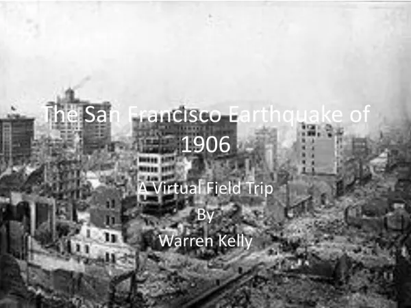
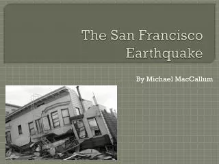
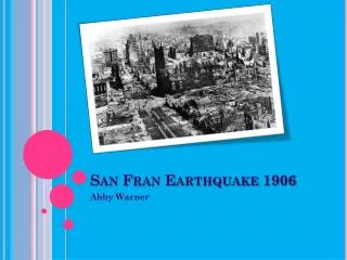
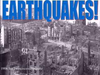
At the time, 375 deaths were reported however, hundreds of fatalities in Chinatown went ignored and unrecorded. The total number of deaths is still uncertain, but various reports presented a range of 700–3,000+. Most of the deaths occurred in San Francisco itself, but 189 were reported elsewhere in the Bay Area; nearby cities, such as Santa Rosa and San Jose, also suffered severe damage. In Monterey County, the earthquake permanently shifted the course of the Salinas River near its mouth. Where previously the river emptied into Monterey Bay between Moss Landing and Watsonville, it was diverted 6 miles south to a new channel just north of Marina. Between 227,000 and 300,000 people were left homeless out of a population of about 410,000; half of those who evacuated fled across the bay to Oakland and Berkeley. Damaged houses on Howard Street (left), and ruins in the vicinity of Post and Grant Avenue
Damaged houses on Howard Street (left), and ruins in the vicinity of Post and Grant Avenue
Arnold Genthe's photograph, looking toward the fire on Sacramento Street
Fires Arnold Genthe's photograph, looking toward the fire on Sacramento Street As damaging as the earthquake and its aftershocks were, the fires that burned out of control afterward were even more destructive. It has been estimated that up to 90% of the total destruction was the result of the subsequent fires. Within three days, over 30 fires, caused by ruptured gas mains, destroyed approximately 25,000 buildings on 490 city blocks. One of the largest of these fires was accidentally started in a house on Hayes Street by a woman making breakfast for her family. This came to be known as the "Ham and Eggs Fire". Some were started when San Francisco Fire Department firefighters, untrained in the use of dynamite, attempted to demolish buildings to create firebreaks. The dynamited buildings themselves often caught fire. The city's fire chief, Dennis T. Sullivan, who would have been responsible for coordinating firefighting efforts, had died from injuries sustained in the initial quake.[27] In total, the fires burned for four days and nights.
Burning of the Mission District (left) and a map showing the extent of the fire The Mission District, also commonly called "The Mission", is a neighborhood in San Francisco, California, United States, originally known as "the Mission lands meaning the lands belonging to the sixth Alta California mission, Mission San Francisco de Asis. This mission, San Francisco's oldest standing building, is located in the northwest area of the neighborhood.
Soldiers looting during the fire
During the first few days, soldiers provided valuable services During the first few days, soldiers provided valuable services like patrolling streets to discourage looting and guarding buildings such as the U.S. Mint, post office, and county jail. They aided the fire department in dynamiting to demolish buildings in the path of the fires. The Army also became responsible for feeding, sheltering, and clothing the tens of thousands of displaced residents of the city. Under the command of Funston's superior, Major General Adolphus Greely, Commanding Officer of the Pacific Division, over 4,000 federal troops saw service during the emergency. Police officers, firefighters, and soldiers would regularly commandeer passing civilians for work details to remove rubble and assist in rescues. On July 1, 1906, non-military authorities assumed responsibility for relief efforts, and the Army withdrew from the city.
Refugees leaving the city
Property losses Property losses from the disaster have been estimated to be more than $400 million in 1906 dollars. This is equivalent to $11.4 billion in 2019 dollars. An insurance industry source tallies insured losses at $235 million, the equivalent to $6.69 billion in 2019 dollars. Political and business leaders strongly downplayed the effects of the earthquake, fearing loss of outside investment in the city which was badly needed to rebuild. In his first public statement, California governor George Pardee emphasized the need to rebuild quickly: "This is not the first time that San Francisco has been destroyed by fire, I have not the slightest doubt that the City by the Golden Gate will be speedily rebuilt, and will, almost before we know it, resume her former great activity". The earthquake itself is not even mentioned in the statement. Fatality and monetary damage estimates were manipulated.
Insurance payments Insurance companies, faced with staggering claims of $250 million, paid out between $235 million and $265 million on policyholders' claims, often for fire damage only, since shake damage from earthquakes was excluded from coverage under most policies. At least 137 insurance companies were directly involved and another 17 as reinsurers. Twenty companies went bankrupt, and most excluded shake damage claims. Lloyd's of London reports having paid all claims in full, thanks to the leadership of Cuthbert Heath, more than $50 million and the insurance companies in Hartford, Connecticut report also paying every claim in full, with the Hartford Fire Insurance Company paying over $11 million and Aetna Insurance Company almost $3 million.
View from the Ferry Building tower, southwest down on Market Street
Lobby card for the American film Frisco Jenny (1933). Ruth Chatterton
The Shock is a 1923 American silent drama film directed by Lambert Hillyer and starring Lon Chaney as a cripple named Wilse Dilling. The film was based on a story by William Dudley Pelley. This is one of the rare Lon Chaney films where he gets the girl.
One of the eleven housing camps The Army built 5,610 redwood and fir "relief houses" to accommodate 20,000 displaced people. The houses were designed by John McLaren, and were grouped in eleven camps, packed close to each other and rented to people for two dollars per month until rebuilding was completed. They were painted navy blue, partly to blend in with the site, and partly because the military had large quantities of navy blue paint on hand. The camps had a peak population of 16,448 people, but by 1907 most people had moved out. The camps were then re-used as garages, storage spaces or shops. The cottages cost on average $100 to put up. The $2 monthly rents went towards the full purchase price of $50. Most of the shacks have been destroyed, but a small number survived. One of the modest 720 sq ft (67 m2) homes was purchased in 2006 for more than $600,000. The last official refugee camp was closed on June 30, 1908.
Born Champaign, Illinois, U.S. Died June 6, 1966 (aged 83) Oxnard, California, U.S. Occupation Years active November 8, 1882 Ethel Clayton Actress 1909–1948 Clayton's first film was When the Earth Trembled. Following appearances on screen in short dramas from 1909 to 1912, she made her feature-length film debut in For the Love of a Girl in 1912. Barry O'Neil directed the film, and Clayton later was directed by William Demille, Robert G. Vignola, George Melford and Donald Crisp in subsequent feature films. Like many silent film actors, Clayton's career was hurt by the coming of sound to motion pictures. She continued her career in small parts in films until she retired in 1948. Her screen credits number more than 180.
Rights Advisory: No known restrictions on publication Photo Library of Congress
Rights Advisory: No known restrictions on publication Photo Library of Congress
Rights Advisory: No known restrictions on publication Photo Library of Congress
San Francisco earthquake, 1906: Cooking dinner in the street
Earthquake, San Francisco. April 18, 1906. American Red Cross Assistant
San Francisco earthquake, 1906: Fort Mason, where thousands of destitute sufferers found relief
San Francisco - Earthquake & Fire, 1906: Camp dinner among the refugees
Earthquake, San Francisco. April 18, 1906. Food line at Relief Station run by the American Red Cross
Grand and Palace Hotels. [Street scene of ruin after San Francisco earthquake of 1906; postal telegraph tent in right foreground]
Food in Jefferson Square
Cliff House, San Francisco In 1858 Samuel Brannan, a prosperous ex-Mormon elder from Maine, paid $1,500 for lumber salvaged from a ship that foundered on the rocky shore's basalt cliffs near Seal Rocks and built the first Cliff House. A second Cliff House was built in 1863, and leased to Captain Junius G. Foster.
Palace Hotel, San Francisco, Cal. Palace Hotel San Francisco 18 April 1906
San Francisco 18 April 1906
San Francisco San Francisco