Download
1 / 23
260 likes | 734 Views
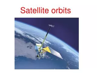
Satellite Orbits. Satellite Meteorology/Climatology Professor Menglin Jin. Satellite Orbits. At what location is the satellite looking? When is the satellite looking at a given location? How often is the satellite looking at a given location?

E N D
Satellite Orbits Satellite Meteorology/Climatology Professor Menglin Jin
Satellite Orbits • At what location is the satellite looking? • When is the satellite looking at a given location? • How often is the satellite looking at a given location? • At what angle is the satellite viewing a given location?
Atmospheric Remote Sensing Sensors, Satellite Platforms, and Orbits • Satellite orbits and platforms • Low Earth orbit • Sunsynchronous and repeat coverage • Precessing • Geosynchronous orbit • Sensor scanning modes • Whiskbroom and pushbroom scanners • Active and passive microwave radiometers
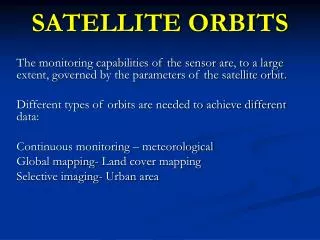
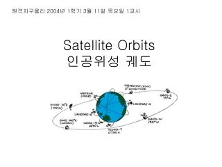
Types of orbits • Sunsynchronous orbits: An orbit in which the satellite passes every location at the same time each day • Noon satellites: pass over near noon and midnight • Morning satellites: pass over near dawn and dusk • Often referred to as “polar orbiters” because of the high latitudes they cross • Usually orbit within several hundred to a few thousand km from Earth
Types of orbits • Geostationary (geosynchronous) orbits: An orbit which places the satellite above the same location at all times • Must be orbiting approximately 36,000 km above the Earth • Satellite can only “see” one hemisphere
Low Earth Orbit Concepts Descending node Ascending node Perigee Ground track Orbit Inclination angle Equator Orbit South Pole Apogee
Sun-Synchronous Polar Orbit Earth Revolution Equatorial illumination angle Satellite Orbit • Satellite orbit precesses (retrograde) • 360° in one year • Maintains equatorial illumination angle constant throughout the year • ~10:30 AM in this example
Spacing Between Adjacent Landsat 5 or 7 Orbit Tracks at the Equator
Timing of Adjacent Landsat 5 or 7 Coverage Tracks Adjacent swaths are imaged 7 days apart
Polar-Orbiting Satellite in Low Earth Orbit (LEO) Example from Aqua
Tropical Rainfall Measuring Mission Orbit (Precessing) • A precessing low-inclination (35°), low-altitude (350 km) orbit to achieve high spatial resolution and capture the diurnal variation of tropical rainfall • Raised to 402 km in August 2001
TRMM Coverage 1 day coverage 2 day coverage
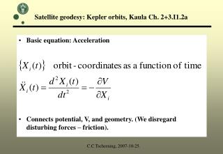
Definition of Orbital Period of a Satellite The orbital period of a satellite around a planet is given by where T0 = orbital period (sec) Rp = planet radius (6380 km for Earth) H¢ = orbit altitude above planet’s surface (km) gs = acceleration due to gravity (0.00981 km s-2 for Earth)
Orbital Characteristics of Selected MissionsLow Earth Orbit & Precessing Missions
Ellipse • An ellipse is defined as follows: For two given points, the foci, an ellipse is the locus of points such that the sum of the distance to each focus is constant. • BTW, Locus-A word for a set of points that forms a geometric figure or graph
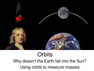
Kepler’s laws 1. Satellites follow an elliptical orbit with the Earth as one focus Foci Perigee Apogee
Period of orbit Period of orbit 42 T2= r3 • Valid only for circular orbits (but a good approximation for most satellites) • Radius is measured from the center of the Earth (satellite altitude+Earth’s radius) • Accurate periods of elliptical orbits can be determined with Kepler’s Equation Gme Radius of the orbit Gravitational constant Mass of the Earth
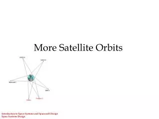
Space-time sampling • Geostationary • Fixed (relatively) field of view • View area of about 42% of Earth’s surface • Sunsynchronous • Overlapping views • See each point at several viewing angles • Other orbits (“walking orbits”) • Passes each location at a different time of day • Earth Radiation Budget Satellite • Useful when dirunal information is needed
Scanning techniques • Vidicom • Like television camera; “sees” everything at once • Swinging • Results in a zig-zag pattern of scanning • Spinning • Satellite spins in order to create image • Pushbroom • Multiple scanning elements, relies on forward motion of satellite