Download
1 / 13
170 likes | 843 Views
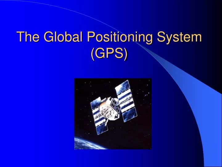
The Global Positioning System (GPS). Brief History of Navigation. PreHistory - Present: Celestial Navigation Ok for latitude, poor for longitude until accurate clock invented ~1760 13 th Century: Magnetic Compass 1930’s: Radar 1940’s: Loran-A 1960’s: Omega and Navy Transit (SatNav)

E N D
Brief History of Navigation • PreHistory - Present: Celestial Navigation • Ok for latitude, poor for longitude until accurate clock invented ~1760 • 13th Century: Magnetic Compass • 1930’s: Radar • 1940’s: Loran-A • 1960’s: Omega and Navy Transit (SatNav) • 1970’s: Loran-C • 1980’s: GPS
Brief History of GPS • Original concept developed around 1960 • In the wake of Sputnik & Explorer • Preliminary system, Transit, operational in 1964 • Developed for nuclear submarines • 5 polar-orbiting satellites • Fullscale GPS development begun in 1973 • Renamed Navstar, but name never caught on • First 4 satellites launched in 1978 • GPS approved for commercial use in 1993
GPS Tidbits • Development costs estimate ~$12 billion • Annual operating cost ~$400 million • 3 Segments: • Space: Satellites • User: Receivers • Control: Monitor & Control stations • Prime Space Segment contractor: Rockwell International • Operated by US Air Force Space Command (AFSC) • Mission control center operations at Schriever (formerly Falcon) AFB, Colorado Springs
GPS Visibility • GPS constellation is such that between 5 and 8 satellites are visible from any point on earth • Each satellite is tracked by a receiver (the user) • Trees and buildings will block the radio signals from the satellites.
Who Uses It? • Everyone! • Merchant, Navy, Coast Guard vessels • Forget about the sextant, Loran, etc. • Commercial Airliners, Civil Pilots • Surveyors • Has completely revolutionized surveying • Commercial Truckers • Hikers, Mountain Climbers, Backpackers • Cars! Cell phones!! • Communications and Imaging Satellites • Space-to-Space Navigation • Any system requiring accurate timing
How It Works (Easy Steps) • GPS is a ranging system (triangulation) • The “reference stations” are satellites moving at 4 km/s • A GPS receiver (“the user”) detects 1-way signals from several satellites • Each transmission contains information when it was sent • Each transmission contains the satellite’s position • The time-of-arrival is compared to time-of-transmission • the radio waves travel at 300,000km/s • The GPS can measure how long the signal took to travel from the satellite to the GPS and using the formula: distance = speed x time to calculate how far away the GPS is from the satellite. • The receiver then picks up a signal from another satellite. Each range puts the user on a sphere about the satellite. The GPS knows it is somewhere on that sphere. • Intersecting several of these yields a user position
Multi-Satellite Ranging A 3rd range constrains user to 1 of the 2 points. 1 range puts user on the spherical face of the cone. Intersecting with a 2nd range restricts user to the circular arcs. Pictures courtesy http://giswww.pok.ibm.com/gps
How Accurate Is It? • The expected accuracy of a standard GPS (they do a vary!) is around 7 meters vertically and horizontally. • Testing with the Magellan GPS receivers will typically experience accuracy improvements to around 3 meters.