Download
1 / 39
400 likes | 729 Views
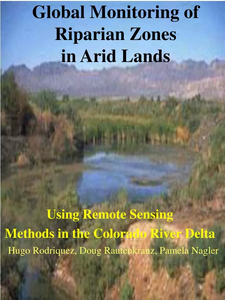
Global Monitoring of Riparian Zones in Arid Lands. Using Remote Sensing Methods in the Colorado River Delta. Hugo Rodriquez, Doug Rautenkranz, Pamela Nagler. OVERVIEW. Purpose and Background Applications The importance of measuring the extent and magnitude of riparian vegetation

E N D
Global Monitoring ofRiparian Zonesin Arid Lands Using Remote Sensing Methods in the Colorado River Delta Hugo Rodriquez, Doug Rautenkranz, Pamela Nagler
OVERVIEW • Purpose and Background • Applications • The importance of measuring the extent and magnitude of riparian vegetation • Usefulness of remote sensing in monitoring riparian vegetation • Correlation of vegetation growth & water flows • Data Collection • aircraft flight (May 1999) • satellite imagery • Image processing & spectral analysis • Scaling from aerial images to satellite images • field transects: validating imagery • Results:Satellite data is useful in determining percent cover for habitat delineation. • Future Work and Cooperation with Bureau of Reclamation • Helicopter Flight (January, 2000) • Future Aircraft Flight (May, 2000)
Applications • Quantification of Riparian Vegetation in Arid Lands • Protection of Biologically Diverse Natural Resources and Habitats for Endangered Species • Warnings of Vegetation Stress and/or Habitat Reduction which help to facilitate bureaucratic decision-making. • Provides Hydrologists, Modelers, Farmers, & Researchers with Image Products that aid in determining water availability.
Usefulness of Remote Sensing in Monitoring Riparian Vegetation • Improved Methods: • Faster & Less tedious work • Larger area coverage & Inaccessible regions • More accurate (less human error) • Spectral data (reflectances) are collected by sensors on different platforms: • satellite sensors: i.e., Landsat Thematic Mapper (TM) or Terra MODIS • airborne sensors: i.e., DyCAM imaging camera, Exotech Radiometer • ground sensors: i.e., Exotech Radiometer • Spectral data is divided into Red and NIR bands and ratioed to give a vegetation index (VI) showing the presence of vegetation: • VI = 0 Soil • VI = 1 Green Vegetation • VI is important in determining the magnitude and extent (percent cover (%C)) of vegetation.
Spectral Data: Vegetation Indices (VI) BG R NIR • A) NDVI = (NIR-Red) / (NIR+Red) • B) SAVI = (1+L) x [(NIR - RED) / (NIR + Red + L)] • C) EVI = 2(NIR-RED) / (NIR + 3.3Red - 4.5Blue + 0.6)
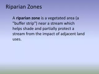
The importance of measuring the extent and magnitude of Riparian Vegetation • Habitat • Endangered species, Biodiversity • Land Corridors (Continuity of habitat) • Water Resources, Wetlands • Hydrology • Dependence of vegetation on water availability • Removal of invasive plants by floods • Global Hydrologic Cycle • Earth’s Energy Balance • Land Cover / Use, Vegetation Dynamics • Surface Temperature and Energy Cycles • Biology / Biogeochemistry of Ecosystems • Global Carbon Cycle • Climate Trends
Background • After the construction of Glen Canyon Dam and the filling of Lake Powell, there was reduced flow and no water in the delta (“a dead delta”). There has been some regeneration of native vegetation in the absence of floods. • Images were acquired before and after flooding to capture the state of vegetation and to bracket the flood periods. Bigger flows and their corresponding responses are shown in images before and after flooding. • Large floods from 1983-86 produced trees which are now approximately 15 years old. Between 1986-93 there was no water, but trees which are in an age class ~10 years old germinated and grew although there were no floods. The 1997-99 flood period produced the greatest number of cottonwood and willow trees and which are 2-3 years old. • Smallest peak (250,000 acre/ft) in 1997 still has enough water to stimulate/regenerate vegetation growth. In conclusion, the big peak flows exist, however even the smaller flows provide for a riparian growth.
Lake Powell fills Glen Canyon Dam Completed Annual Flows
Determining Vegetation Stress • Vegetation Indices (VI) • Fraction of Absorbed Photosynthetically Active Radiation (fAPAR) • Leaf Area Index (LAI) • EvapoTranspiration (ET) • Surface resistance • Latent heat of vaporization • Thermal Data: Canopy and Air Temperatures • Peak Vegetation (VI & ET) data are correlated with these hydrologic variables: • Surface flows • Storage of water in the riparian aquifer • Depth to water and salinity of water • Precipitation, outflows, net radiation, potential evaporation, soil holding capacity • Validation: • ground • aircraft • satellite, with different resolutions
Data Collection • Maps • Roads, urban areas, landmarks • Canals, drainage system, wetlands, soils • Vegetation/Landcover classes (GIS) • Species identification (ground-truthing) • Field Instrumentation • Hydrological Gaging Stations: • surface flows, salinity, aquifer storage • IRT (temperature), Ground Exotech (Refl. & VI) • LAI2000 (LAI), AccuPAR (fAPAR), Sap Flow (ET) • Manual Estimations: • Height, Widths, Percent Cover, Vegetation Class/Species • Meteorological Data (for 2000 flight) • net radiation, wind speed • vapor pressure deficit • field and air temperature • Airborne Instrumentation • Digital VIS-NIR Camera • Exotech with simulated MODIS bands (VI) • Infrared Thermal (IRT) instrument (temperature) • Albedometers • Video Tape
S E A W i F S (1 km resolution) 1998 Image Altar Desert Ciénega Water & Mud Flats Colorado River Delta Project Area
Data Collection: Aerial May 24, 1999
Digital Photos 4 8 9
10:55 10:55 10:56 10:56 10:56 10:56 10:56 Area = 67m x 100m Alt. = 150m Res. = 1.7m Swath = 600m Alt. = 1000m Res. = 17.5m Length = 1.5 km with 10 km spacing 10:53 10:47
Flight Line Coordinates of Dycam Images Solar Zenith Angle of Dycams TM image (July 1997) Video Time for Dycam image location Percent plant cover Visual assessments Spectral analysis Dycam Reflectances Dycam Average VI TM Average VI GIS Components
Vegetation Indices (VI) / Image • A) NDVI = (NIR-Red) / (NIR+Red) • B) SAVI = (1+L) x [(NIR - RED) / (NIR + Red + L)] • C) EVI = 2(NIR-RED) / (NIR + 3.3Red - 4.5Blue + 0.6)
3-D (DEM) Representation of Vegetation Indices Digital Elevation Model Image of DyCAM VI DyCAM VI Classification of Ground Features
Visual Computer Percent Cover Comparison
Vegetation Indices (DyCAM) as a predictor of Leaf Area Index (LAI)
Ground Cover (%) vs. Geographic Sampling of the Aerial Images
Tree Characteristics A B C D Willows Cottonwoods Diameter (cm) For three transect sites (Cinco de Mayo, Benito Juarez and Jesus Gonzales), 268 trees (cottonwood and willow only) were evaluated for Height (A), Diameter (B), No.Rings as a function of Diameter (C), and Age (D).
Cottonwood-Willow Zone: Cover Classes Estimates 3 Ways n = 9 n = 9 n = 63 Accounts for different transect lengths Equal samples
Percent Cover by Species in Understory, Midstory, Overstory, % of Total Land Cover & Area (ha)
Cottonwood-Willow Structural Classes:A comparison of US and Mexico Riparian Area
TM Nº(Scaled NDVI) and NDVI from DyCAM to TM (1999) Scaled NDVI (Nº ): TM Nº = 0.956 * DyCAM Nº + 0.004 r2 = 0.82 TM NDVI: = 0.911 * DyCAM Nº - 0.177 r2 = 0.79
Conclusions • Vegetation Indices (VI) were determined using aerial remote sensing equipment and were well correlated with percent cover (%C). • Vegetation mapping methods derived from aerial images were scaled up to the satellite level to show changes in percent cover in the ecosystem. • Field surveys validated inferences from aerial and satellite imagery: • Changes in total vegetation cover over time • Regeneration of native tree species • The volume of flow • Satellite images can be used to assess habitat extent, water availability, and land use change. • Peak vegetation can be correlated with surface flows to gauge water stress & water requirements to support the ecosystem. • Annual qualitative assessments of variables such as Vegetation Indices (VI) and percent cover (%C) can be used to monitor the status of riparian vegetation in the Delta.
Future Work • Land Cover Class Delineation based on VI • Species Classification based on Spectral Discrimination • Processing of TM Images (1992-99) • Comparison of riparian areas: • Colorado River • Mexico • United States • Bill Williams River • Virgin River • Gila River
Helicopter Flight and Future Aerial Data Collection