Download
1 / 32
320 likes | 459 Views
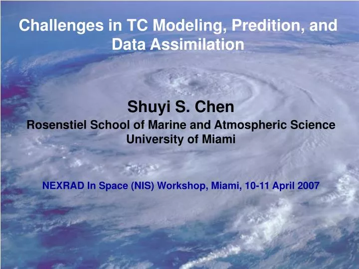
Challenges in TC Modeling, Predition, and Data Assimilation. Shuyi S. Chen Rosenstiel School of Marine and Atmospheric Science University of Miami NEXRAD In Space (NIS) Workshop, Miami, 10-11 April 2007. Track forecast errors cut in half in 15 years. From Richard Knabb.

E N D
Challenges in TC Modeling, Predition, and Data Assimilation Shuyi S. Chen Rosenstiel School of Marine and Atmospheric Science University of Miami NEXRAD In Space (NIS) Workshop, Miami, 10-11 April 2007
Track forecast errors cut in half in 15 years From Richard Knabb
No progress with intensity NHC Official Intensity Error Trend From Richard Knabb
TC Formation/Genesis • Very little skill in current operation models • Not fully tested using high-resolution research model • TC Structure and Intensity Change • Inner core (eye and eyewall) dynamics and rainbands • Environmental conditions, including vertical wind shear, moisture distribution, and sea surface temperature (upper ocean heat content), surface properties (e.g., waves, sea spray, etc.) • TC Landfall • Land surface, TC – trough/front interactions, etc.
What is a “next-generation” hurricane model? • High-resolution to resolve inner core and rainband structures (~1 km grid spacing or better?) • Fully coupled atmosphere-wave-ocean-land modeling system • Data assimilation system • Both deterministic and probabilistic forecasting capabilities
High-Resolution Multi-nested Vortex-Following Numerical Models: 15 km • UM/RSMAS Coupled Atmos-Wave-Ocean Model Mini ensemble MM5 and WRF forecasts using GFS, NOGAPS, CMC, and GFDL forecast fields as initial and lateral boundary conditions 5 km 1.6 km
MM5 Hurricane Floyd (1999)
Obs NHC Fcst MM5 (1.6km) WRF (1.6km)
MM5&WRF Global models NHC Fcst Obs
Houze, Chen, Smull. Lee, and Bell (2007) Figure 1: High Resolution Model Output for Rita Forecast rain rate in Hurricane Rita during RAINEX
Confirmation of concentric eyewalls in Hurricane Rita (2005) N43 flight-level wind in Rita Inner outer outer Inner Observed MM5 22 September 2005 Radar Reflectivity
Effect of vertical wind shear on Rita Model 5-day forecast
Rita Rita 1.6 km 5 km
Hurricane Rita Large initial vortex
Hurricane Rita 5 km 1.6 km vorticity wind 1.6 km 5 km IS = [(f + 2V/r)(f + V/r + V / r)] 1/2
Hurricane Floyd 5 km 1.67 km
5 km (25 km2) 1.67 km (2.8 km2)
Microphysics Param in WRF (Tao et al 2007) PBL Param in MM5 (Braun&Tao 2000) Air-Sea Coupling (Chen et al 2007) Sea Spray Param (Desflots et al 2007)
Coupled Atmosphere-Wave-Ocean Modeling System for Hurricane Predictions ATMOS. MODEL (MM5/COAMPS/WRF) OCEAN MODEL (HYCOM/3DPWP/ROMS) Surface fluxes SST Param. of wave dissipation LES Sea Spray SSH & current velocity Wind-induced stress Wave-Induced stress Roughness length WAVE MODEL (WAVEWATCH III/WAM) Param. of spectral tail and drag coefficient Source function? Drop size distribution? Effects on turbulence? How do these affect exchange coefficients? What is the ratio of Ck and CD?
WRF/EnKF for Katrina with Radar DataFuqing Zhang, Texas A&M University • EnKF: as MZ07a but with 30-member ensemble, no physics uncertainty • WRF Domains 1-4: 40.5, 13.5, 4.5 &1.5km (2 way); 35 vertical levels • WSM 6-class microphysics scheme w/ graupel • YSU boundary-layer scheme • Grell-Devenyi ensemble cumulus scheme • IC & BC: FNL analysis • Data assimilated: • TC position (err=20km) and intensity (err=1hpa) D1,D2 every 3 h from 0Z/25 to 0Z/26 (Chen and Snyder 2006) • Doppler velocity (err=3m/s) from KMAX and KBYX (D1,D2) at 00Z/26 and/or 03 & 06Z • Doppler velocity from airborne radar at 18Z/27 (err=3m/s) for all domains down to 1.5-km D4 262x253x4.5km 253x 253 x 13.5km 160x 120 x 40.5km
EnKF Performance: Track forecast with Vr assimilated NEXRAD at KAMX and KBYZ assimilate at 00Z 26 Aug in 14.5-km D2; free forecast with 4.5-km D3 afterwards Airborne Radar assimilated at 18Z 27 Aug at all domains down to 1.5-km domain; free forecast afterwards
EnKF Performance: Maximum Surface Wind Simulations NEXRAD at KAMX and KBYZ assimilate at 00Z 26 Aug in 14.5-km D2; free forecast with 4.5-km D3 afterwards Airborne Radar assimilated at 18Z 27 Aug at all domains down to 1.5-km domain; free forecast afterwards
Challenges • TC structure and intensity are very sensitive to model grid resolution, surface fluxes, boundary layer and microphysical parameterizations • Lack of good model initial conditions • Lack of high-resolution observations to evaluate/verify coupled model forecasts • Need robust and efficient data assimilation system • What is the Impact of assimilating small-scale features on forecasts longer than 2-3 days?
Questions • What are the forecasting products needed from the next-generation models (e.g., not just track and Vmax, but also storm impact including rain, wind, wave, storm surge, etc.)? • How do we develop a evaluation/validation system for high-resolution products (e.g., wind and rainfall distributions, storm surges)? • How will these be used operationally, perhaps a combination of deterministic and probabilistic measure that takes into account of track errors?
Model Forecast of Hurricane Katrina (2005) (water depth) RainRate Surface Wind Speed (m/s) Significant Wave Height (m)