Download
1 / 10
100 likes | 318 Views
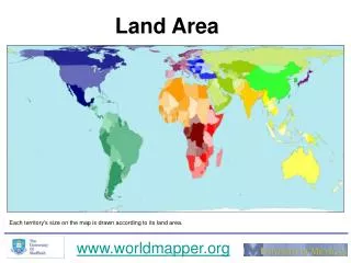
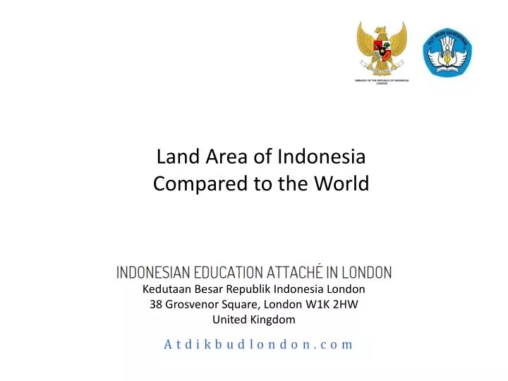
Land Area of Indonesia Compared to the World. Kedutaan Besar Republik Indonesia London 38 Grosvenor Square, London W1K 2HW United Kingdom . 1. World Map A ccording to the Land A rea. Each territory's size on the map is drawn according to its land area. Reference: Wordmapper.org.

E N D
Land Area of Indonesia Compared to the World Kedutaan Besar Republik Indonesia London38 Grosvenor Square, London W1K 2HW United Kingdom
1. World Map According to the Land Area Each territory's size on the map is drawn according to its land area Reference: Wordmapper.org
2. Tracing Out Map of Indonesia Exclusive Economic Zone (EEZ), a distance of 200 nautical miles (370 km) out from a country coastal baseline. Territorial Sea, a belt of coastal waters extending at most 12 nautical miles (22 km) from the baseline. Territorial Sea EEZ Reference: Belajar.kemdiknas.go.id
3. Map of Indonesia Superimposed: London-Medina London (UK) Medina (Saudi Arabia) Notes: (1) Each territory's size on the map is drawn according to its land area(2) Pixel area of the cropped section is kept consistent with the pixel area of the background
4. Map of Indonesia Superimposed over the USA Notes: (1) Each territory's size on the map is drawn according to its land area(2) Pixel area of the cropped section is kept consistent with the pixel area of the background
5. Map of Indonesia Superimposed over Brazil Notes: (1) Each territory's size on the map is drawn according to its land area(2) Pixel area of the cropped section is kept consistent with the pixel area of the background
6. Map of Indonesia Superimposed over China Notes: (1) Each territory's size on the map is drawn according to its land area(2) Pixel area of the cropped section is kept consistent with the pixel area of the background
7. Map of Indonesia Superimposed over the Russia Notes: (1) Each territory's size on the map is drawn according to its land area(2) Pixel area of the cropped section is kept consistent with the pixel area of the background
8. Map of Indonesia Superimposed over India Notes: (1) Each territory's size on the map is drawn according to its land area(2) Pixel area of the cropped section is kept consistent with the pixel area of the background
9. Reference • Wordmapper.org. Land Area. Accessed: 30 September 2012:http://www.worldmapper.org/posters/worldmapper_map1_ver5.pdf • Belajar.kemdiknas.go.id. Wilayah Peraian Laut Indonesia. Accessed: 30 September 2012: http://belajar.kemdiknas.go.id/index3.php?display=view&mod=script&cmd=Bahan%20Belajar/Materi%20Pokok/SMP/view&id=78&uniq=all