Download
1 / 12
120 likes | 154 Views
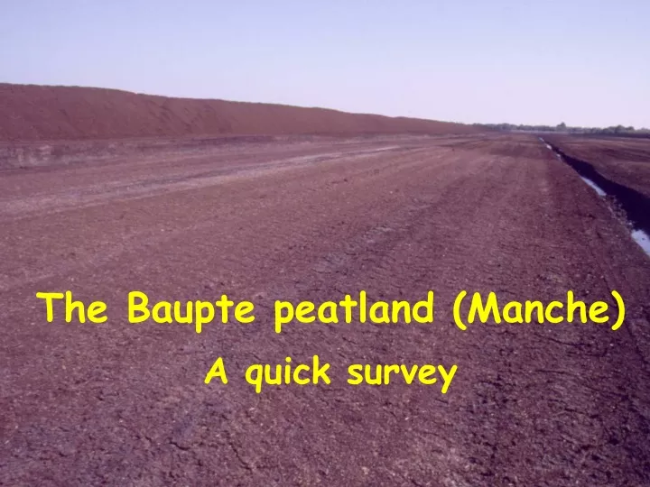
Explore the Baupte peatland in Manche through a quick survey map from the 1949 "Atlas des tourbières de France". Discover the key sites, including the Baupte factory, River Sèves, marshes, and experimental areas with detailed descriptions. Witness the transformation of the old exploited sector flooded in 1995 and the terrestrialization of old pools with Phragmites and Typha in the valley. Get insights into the Sphagnum presence in trenches and measurement of CO2 exchange in WP1 Eriophorum angustifolium site.

E N D
Map from «Atlas des tourbières de France» (published in 1949) Carentan Map scale 1/80 000 Red : sites with major peat thickness Green : about 0.5 m peat depth
Baupte peatland area Baupte factory (Degussa Company) River Sèves Bauptois Marshes Marshes of River Sèves Valley Artificial pools (old part of exploitation) Mesnil Marshes Experimental trenches and sites Actual extraction area (milled peat)
The old exploited sector, flooded in 1995
Terrestrialization of old pools with Phragmites and Typha
Trench n° 1 September 2004
Trench n° 2 Sept. 2004
WP1, replicate 3 : cracks in the peat (at the beginning of September)
WP1, Eriophorum angustifolium site, replicate 1 Measurement of CO2 exchange with the IRGA apparatus