Download
1 / 24
240 likes | 258 Views
Learn about the importance of quality control in weather data for MM5/WRF initialization, automated QC procedures, network variability, QC tests, flagged thresholds, and spatial testing. Explore future work and resources provided.

E N D
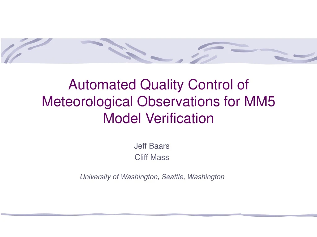
Automated Quality Control of Meteorological Observations for MM5 Model Verification Jeff Baars Cliff Mass University of Washington, Seattle, Washington
Why Perform Quality Control (QC) on Observations? • The integrity and value of all verification activities depends on the quality of the data. • Similarly, as we move to mesoscale initialization for the MM5/WRF quality control of the data is critical. • Future bias correction will depend on the quality of the observations. • Currently, only a simple range check is performed on in-coming obs.
And why do automated QC? • Can’t possibly do manual QC on all of the obs we ingest. • No automated QC program will be perfect, and some bad values may slip through. Some non-bad values may get flagged also.
Description of the Obs • Many unknowns about individual networks, and generally there’s a lack of documentation for them. • Networks vary in quality : • Instrumentation varies, as does accuracy of measurements. • Siting varies between networks, including instrument height, surroundings, etc. • Calibration standards vary between networks– how many networks perform annual calibration?
The Flags • No data is thrown out– it is only flagged. • Each test has a flag, which can be “pass,” “suspect,” “warning,” and “failure.” • Only a range failure can cause a “failure” flag.
The Four QC Tests • Modeled after Oklahoma Mesonet automated QC procedures (Shafer et al 2000, J of Oceanic Tech). • With some differences, due to differences between the Northwest and OK. (Like lots of topography!) • Performed on 6 variables: temperature, relative humidity, wind speed and direction, sea level pressure, and 6- and 24-hr precipitation. • Range check-- simplest of them all; just a sanity check on the value, similar to what we’re already doing. • Step check-- looks for unreasonably large jumps between hour time steps in the data. • Persistence check-- looks for a “flat-lined” time series. • Spatial check-- checks value in question versus those surrounding it. The most tricky one to get right!
Persistence Test • Looks at 24 hours (18 hours for temperature) of consecutive data for a variable. • Calculates standard deviation over the 24 hours, and if it’s below a set threshold, the entire day is flagged. • Also checks the largest delta between successive obs and if it is below a set threshold, the entire day is flagged.
Spatial Test • Tested multiple spatial tests; settled on the simplest. • For each station, looks at all stations within 100-km horizontal distance and within an elevation band (varies by variable). • Minimum of 5 stations required for test to be performed. • If no station has a value reasonably close to value in question, value is flagged. • If not enough stations are found in 100-km radius, test is performed again for a 150-km radius, but with constraints eased.
Future Work • Further testing. • Implement QC procedures. • http://www.atmos.washington.edu/~jbaars/