Download
1 / 20
200 likes | 359 Views
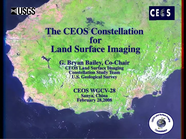
The CEOS Constellation for Land Surface Imaging G. Bryan Bailey, Co-Chair CEOS Land Surface Imaging Constellation Study Team U.S. Geological Survey CEOS WGCV-28 Sanya, China February 28,2008. The CEOS Constellations Concept. CEOS Constellations concept is new and still evolving.

E N D
The CEOS Constellation for Land Surface ImagingG. Bryan Bailey, Co-ChairCEOS Land Surface ImagingConstellation Study TeamU.S. Geological SurveyCEOS WGCV-28Sanya, ChinaFebruary 28,2008
The CEOS Constellations Concept • CEOS Constellations concept is new and still evolving. • It might best be described as a new CEOS process designed - • To enhance effective planning and development of future earth observing systems by maximizing advantages of international collaboration without eroding the independence of individual agencies. • To increase the effectiveness with which international assets, including both space and ground segments, can be brought to bear on scientific problems and to meet a wide range of societal needs. • Fundamental concept is to extract clear requirements from target user communities and translate those requirements into “standards,” which can serve as guidance in the development of future systems and against which future proposed Earth observing systems can be assessed.
CEOS Constellations • Potentially, there are many conceivable constellations. • CEOS has proposed 4 initial prototype virtual constellations. • Ocean Surface Topography • Precipitation • Atmospheric Composition • Land Surface Imaging • The USGS has been assigned responsibility for leading the Land Surface Imaging Constellation Study. • A Study Team with members from many international space agencies, as well as the land remote sensing user community, has been established to conduct LSI Constellation studies.
LSI Constellation Study Team Members • User Community Members • Alan Belward (JRC) • John Townshend (U. Maryland) • Brad Reed (USGS) • Mike Abrams (JPL) • Yasuchi Yamaguchi (Nagoya U.) • Stuart Marsh (BGS) • CEOS Agency Members • G. Bryan Bailey - Co-Chair (USGS) • V. Jayaraman - Co-Chair (ISRO) • Herve JeanJean (CNES) • João Vianei(INPE) • Michael Berger (ESA) • Daniel DeLisle (CSA) • Anna Medico (CONAE) • Takeo Tadona (JAXA) • Kevin Gallo (NOAA) • Chris Blackerby (NASA) • Yonghong Zhang (NRSCC) • CEOS WG Members • Steve Ungar – WGCV (NASA) • Greg Stensaas – WGCV (USGS) • Jean-Pierre Antikidis – WGISS (CNES)
Goal and Objectives of the LSI Constellation • Fundamental Goal or Mission • “The Land Surface Imaging Constellation seeks to promote the efficient, effective, and comprehensive collection, distribution, and application of space-acquired image data of the global land surface, especially to meet societal needs of the global population, such as those addressed by the Group on Earth Observations (GEO) societal benefit areas.” • Primary Objectives • Define characteristics that describe optimal capabilities (and policies) that can become guidelines (or standards) in the development and operation of future LSI systems. • Address current and near-term problems and issues facing the land remote sensing community today. • working more cooperatively in the operation of existing systems. • realize tangible benefits to society through application of LSI data.
Methodology and Scope • Methodology focuses on definition and conduct of a series of Constellation studies and activities. • Carried out by, or in cooperation with, the LSI Constellation Study Team. • Result in the definition of standards for optimal future systems. • Also address shorter-term problems and issues. • In terms of scope, studies leading to the definition of standards for a LSI Constellation will be based on a compilation of representative user requirements and will examine at least three fundamental areas. • Space Segments • Ground Systems • Policies and Plans
2007 Goals, Objectives, and Accomplishments • 2007 LSI Constellation studies placed heavy emphasis on mid-resolution land surface imaging systems. • Three primary goals were identified for 2007. • Establish agreement(s), among space agencies currently operating mid-resolution land surfacing imaging satellite systems, to cooperate more closely together to operate those assets as a real prototype Land Surface Imaging Constellation. • Develop preliminary standards for a mid-resolution Land Surface Imaging Constellation. • Meaningfully contribute to the production of a fundamental climate data record (FCDR). • None of the three goals were fully accomplished, but important progress was made toward achieving each of them.
Agreement for a Real Prototype Constellation • A “Declaration of Intent for Cooperation on Mid-Resolution Satellite Systems” in which space agencies resolve to seek ways to cooperate more fully in the operation of their existing mid-resolution land surface imaging satellite systems was signed by seven of eight agencies that operate such systems. • Three additional agreements that add specificity and detail for cooperation in specified areas were drafted and have been sent to the agencies for their review. • Enhanced user access to data • Data acquisition • Ground segment operations • Detailed agreements are based on user recommendations for improved cooperation, and they seek a balance between what users may desire and what space agencies realistically can accommodate.
User Recommendations for Increased Cooperation • Enhanced User Access to Data • Create and maintain a common website. • Information about all currently operating LSI mid-resolution satellite systems. • Characteristics of the data they collect. • Links to search & order tools for those systems. • Establish a clearinghouse for free data offered by operators of mid-resolution systems and work to increase the amount of free data available. • Develop, and provide free access to, “bundles” of mid-resolution LSI data collected over common sites by agency systems. • Data Acquisition • Establish coordinated and complementary data acquisition strategies. • Optimized regional coverage by national systems. • Maximize global coverage. • Shorten repeat cycles. • Increase cloud free data over cloudy areas.
User Recommendations (cont.) • Data Acquisition (cont.) • Develop a joint “data gap” acquisition strategy to minimize impacts on global data coverage from loss of one or more mid-resolution systems. • Jointly define a suite of environmentally sensitive sites, geohazard sites, calibration sites, and other key sites, and then develop cooperative strategies to ensure regular collection by all mid-resolution systems. • Ground Segment Operations • Cooperate in the definition of common processing parameters to provide users with data in standard formats and projections, as well as standard metadata content. • Consider development of a common orthorectified image product for all mid-resolution LSI satellite systems.
Constellation Standards: Mid-Resolution Systems • The primary objective was to define a suite of initial standards (or guidelines) that describe optimal characteristics of a mid-resolution LSI Constellation. • Space segments • Ground systems • Policies and operational considerations • Standards were developed based on the compilation of a representative cross-section of user information and technical requirements. • Work on this goal was accomplished largely via a contract let by the USGS with Noblis, a non-profit science, technology, and strategy organization in the U.S.
Preliminary Guidelines for Mid-Res. LSI Satellite Systems (example) Space Segment Ground Segment Data & Ops Policies
Data for a Fundamental Climate Data Record • The objective of this 2007 goal was to demonstrate the value and viability of the LSI constellation by making a tangible contribution that both advances science and benefits society. • The goal for 2007 was to provide the UN FAO Forest Resource Assessment 2010 (FRA2010) with the land surface image data needed to complete this assessment, or at least to establish the interagency agreements to do so. • However, the FRA2010 Project was not able to identify holes in the primary Landsat data set, and thus exact data requirements could not be defined. • Instead, estimates of the maximum number of image cells needed were made, and an agreement drafted calling for CEOS agencies to provide FRA2010 up to 1000 such image cells free of charge.
LSI Constellation – Recent Activities and Challenges • Key Recent and Planned Activities • Prepared and presented 2007 LSI Constellation Report to CEOS Plenary. • Briefed the LDCM Science Team on LSI Constellation last month. • Provided extensive input to last week’s GEO/CEOS Workshop to enhance LSI Constellation relevancy to GEO/GEOS goals and objectives. • Held Study Team meeting the last two days in Sanya. • Develop and implement our 2008 Work Plan based on Study Team meeting outcomes. • Key Challenges • Dedicating sufficient personnel resources to accomplish the work. • Fully engaging the land remote sensing user community. • Balancing agency agendas with common goals. • Managing expectations, such as what reasonably can be achieved and in what timeframe.
CEOS Land Surface Imaging Constellation LSI Constellation Connections to GEO
CEOS Land Surface Imaging Constellation LSI Constellation Connections to GEO
A Potential Real Prototype Land Surface Imaging Constellation TERRA IRS LANDSAT RESOURCESAT ALOS SAC-C SPOT CBERS
LSI Constellation Study Team Meeting - Sanya • Meeting Objectives • Review and Reflect on 2007 Activities • Look Strategically at LSI Constellation Activities • Define a Strong, yet Largely Achievable 2008 Work Plan • LSI Constellation 2008 Goals • Complete Unfinished 2007 Tasks • Agency agreements • Mid-resolution optical system standards • FRA2010 data • Contribute Area Data Sets 2010 Epoch Compiled Mid-Resolution Optical Global Data Set • Initiate a New LSI Constellation Focus Area: Radar
Potential Areas for WGCV Support of LSI Constellation • Implementing Agency Agreements. • Acquisition of Mid-Resolution Satellite Data ….agree to define jointly a suite of environmentally sensitive sites, geohazard sites, calibration sites, or other key sites and jointly to attempt to develop a cooperative strategy for regular collection of mid-resolution LSI data over those sites……. • Defining Standards for Future Mid-Resolution Systems. • A WGCV committee could review the preliminary standards defined by Noblis and offer suggestions for revision and improvement. • That committee also could suggest additional parameters, particularly related to calibration, for which standards should be developed for future mid-resolution optical systems. • Identify potential areas for additional WGCV support associated the new two new LSI Constellation goals for 2008. • Others??