Download
1 / 5
50 likes | 123 Views
This ITB report from June 11, 2009, by Robin Trenbeath, outlines findings from the Geographic Information Officer on GIS usage. In-person interviews with 12 agencies identified primary, heavy, moderate, and light usage categories. Recommendations include agency-specific strategies, an enterprise-wide approach, standardized architecture, GIS portal usage, data redundancy reduction, base map creation, GIS web services development, and a state GIS forum.

E N D
Montana Base Map Service Center (BMSC)ITB June 11, 2009 Robin Trenbeath Geographic Information Officer
GIS Assessment Survey • In-person Interviews • 12 Agencies Participated • 4 Categories of GIS Usage • Primary • Heavy • Moderate • Light
Recommendations • Agency Specific • Enterprise Wide
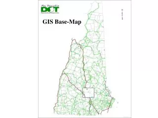
Enterprise Wide • Build State IT/GIS Federated Model • Implement Standardized Architecture • Utilize the GIS Portal @ MSL • Reduce Data Redundancy • Create State Base Map • Develop GIS Web Services • Provide a State GIS Forum
Questions? Comments?