Download
1 / 64
650 likes | 862 Views
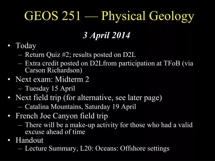
GEOS 251 — Physical Geology. 3 April 2014 Today Return Quiz #2; results posted on D2L Extra credit posted on D2Lfrom participation at TFoB (via Carson Richardson) Next exam: Midterm 2 Tuesday 15 April Next field trip (for alternative, see later page)

E N D
GEOS 251 — Physical Geology 3 April 2014 • Today • Return Quiz #2; results posted on D2L • Extra credit posted on D2Lfrom participation at TFoB (via Carson Richardson) • Next exam: Midterm 2 • Tuesday 15 April • Next field trip (for alternative, see later page) • Catalina Mountains, Saturday 19 April • French Joe Canyon field trip • There will be a make-up activity for those who had a valid excuse ahead of time • Handout • Lecture Summary, L20: Oceans: Offshore settings
Results from Quiz #2 Possible: 25 points + 3 extra credit = 28 • Mean = 17.4 [70% of 25], n = • High = 25 (n = 5); Low = 7 (n = 2); Range = 18 • Highest score (including extra credit) = 28 • Approximate letter grades A: ≥22.5; B: ≥ 18; C: ≥ 15; D: ≥11
Quiz scores 25 pts +3 EC = 28 possible • Statistics • High = 28 (n = 1) • Low = 3 (n = 2) • Range = 25; n = 62 • Mean = 18.0 [72.1% of 25] [64.4% of 28] • Approximate grades (total) A: ≥22.5 B: 20.0-22.0 C: 17.5-19.5 D: 15.0-17.0 F: <15.0 Distribution ≥25.0 7 22.5-24.5 5 20.0-22.0 15 17.5-19.5 9 15.0-17.0 13 12.5-14.5 5 10.0-12.0 4 <10.0 4
Catalina field trip • Field trip will go ahead as scheduled • All day Saturday, 19 April 2014 • Vans are reserved; the trip is mostly along the Catalina Highway • Trip led by the TAs and me • More information later • But I will pass out the field trip information ahead of time, with references to additional information • If you are unable to make the field trip • We are not responsible for you, but you may do the field trip exercise on your own time and transportation (or with a group of people) within a week before or after the date of the field trip. Be careful, watching for traffic along the highway! • Field trip write ups will be due in lab to your TA at the time of your final lab exam (week of 28 Apr-1 May)
Last time: Shoreline Processes • Water moves in near-shore environments • By wave action • By currents (origin[s]) • By tides • Compare and contrast with streams
Surf zone — Dynamics of wavesElliptical motion, then back-and forth horizontal, moving sedimentDrag on bottom—top comes over--breakers
Waves “bend”Refract as they approach shore (become more head-on)
Stacks: Twelve Apostles, Port Campbell, Victoria, Australia Wave-cut terraces: Bolinas Point, California Erosional coastal landforms
Depositional coastal landforms • Sand bars, barrier spits, barrier islands
Human impact Groin Beach filling
Tides • Twice-daily rise and fall of the sea • Period ~12.5 hrs • Cause: Combined gravitational forces of • Moon and Sun (half gravitational force of the moon) • Two tidal bulges (high tides) on Earth • Side facing the Moon • Side opposite of the Moon • Variations in height caused mainly by Sun’s position • As Earth rotates • Bulges of water stays approximately aligned with the Moon • Pass over Earth’s surface creating tides
Spring and neap tides • Moon, Earth, and Sun aligned • Every two weeks at new and full moon • Causing spring (for “leaping up”) tides • Sun and Moon tides in opposition • Every two weeks at first and third quarter Moon • Causing lowest (neap) tides
Tidal currents and heights • Heights of tides • Influenced by local bottom topography--obstructions and constrictions • Higher where obstacles are encountered (e.g., Bay of Fundy, N. S.) • Lower where obstacles are few (e.g., Hawaii) • Can be accentuated by storm surges, increasing storm damage • Tidal currents • Water flowing toward shore: Flood tide • Water moves away from shore: Ebb tide • Rate tide comes in • Greatest where tide advances over broad tidal flat
Tide terrace • Outer ridge is exposed at low tide (sandbar at high tide) • Rippled tidal flat • Upper beach
Broad dynamic controls —Tectonics, climate, sea level changes • Other factors are important in the nature of shorelines • Tectonics (passive vs. active margins) governs uplift/subsidence; volume of ocean basins (why?) • Climate is influential in types of sediments • Sea-level changes (local or global) result from these and other factors
Climate controls on near-shore settings Modern tropical reef Below: Ancient (600 Ma) archeaocyathid reef • Chemical sedimentation • Nature of clastics
Surface of ocean from radar satellite altimeter • Gravitational field affects water surface level • Gravity influenced by sea-floor topography
Tectonic controls — “local” • Uplifted shoreline terrace • Why is it exposed?
Near-shore implications of changes in sea level • Pleistocene • Large ice caps locked up ~10% of surface water • Land bridges (UK-Europe, Alaska-Siberia) • Cretaceous • No ice caps (tropical conditions at poles) • Deep oceans—interior seaway in west-central North America • Large ridge volumes (rapid spreading)
Links between the near-shore environment and sedimentation • Idealized section across a shoreline (passive margin — why?) • Transgressions and regressions (flooding and exposing) by sea level changes • Local and global causes • “Walther’s Law” • The temporal (up section) changes in sedimentary record represent spatial (lateral) changes at any given time
People and the near-shoreMany interactions — many impacts--intended and otherwise
Summary • Shoreline environment is dynamic • Distinctive processes related to moving water, as waves, currents, and tides • Processes of erosion, transport, and deposition • Reflected in nature of shoreline and materials • Influences • Tectonic, climate, sea level changes, and human influences are all important • Sedimentary record reflects transgressions / regressions and local environments
Lecture 20: Oceans — Offshore settings • A reminder of some basics of the oceanic crust • Continental margins • Shelf - slope - rise • Turbidity currents and sedimentation • Ocean basins • Ridges • Abyssal plain • Oceanic islands (arcs and hot spots) • Ocean evolution
Earth’stopography • What is the difference with other planets? • Why is there this difference?
The ocean basins • Ridges, abyssal plains, islands, continental margins • Active margins versus passive margins
A review of basics • What are typical rocks of continental crust? Of ocean crust? • Why are continents higher than the ocean basins? • What are the relative ages of continental and oceanic crust? Why?
Oceans and the Earth’s surface • ~2/3 of surface; low-lying, young, and dynamic — Why? • Key parts: Deep vs. shallow; ridges, abyssal plains, trenches, islands (hot spots and arcs), continental margins
Differences between deep ocean basins and continents • Sea floor has no folded and faulted mountains away from continental margins • Weathering and erosion processes much less important in oceans • Oceans lack efficient fragmentation processes (freeze-thaw) and agents of erosion (streams, glaciers) • Deep sea currents can erode and transport sediment but are not effective in eroding basaltic plateaus
Volcanism and sedimentation dominate the oceans • Volcanism • Creates mid-ocean ridges • Oceanic islands (including hot spots) • Oceanic volcanic arcs near deep oceanic trenches • Sedimentation • Soft sediments of mud and calcium carbonate blanket low hills and plains of sea floor as oceanic plates spread • More continuous geologic record than on continents
Submarine topography: Passive margins adjoining the Atlantic (greatly exaggerated) • What are seamounts? • Why is the Mid-Atlantic Ridge high?
Submarine topography: Active margins adjoining the Pacific (greatly exaggerated) • What do the trenches represent? • Why is the East Pacific Rise much smoother than the Mid-Atlantic Ridge?
Transitions from continental shelf, slope, and rise to abyssal plain
Continental margins • Continental shelf • ~50 - 200 m deep • Variable width; wide on passive margins; ~flat; typically on continental crust • Largely exposed during glacial periods • Incised by deep submarine canyons, which feed turbidite fans in deeper water • Host most sea life • Sediments: More carbonate near equator (<30º lat.), more siliceous away from equator
Continental margins • Continental slope • ~200 – 2,000/3,000 m deep • Slope increases to >4º; typically on transition from continental (granitic) crust to oceanic (basaltic) crust • Little biological activity • Sediments: Mainly clastic; submarine canyons largely bypass slope as a site of deposition
Continental margins • Continental rise • >2,000/3,000 m deep • Area of deposition at base of slope • Submarine fans (analogous to alluvial fans on land) formed by deposition from density currents (turbidites) at mouth of submarine canyons
Submarine canyons • Deep canyons eroded into continental shelf and slope
Turbidity currents • Analogous to subaerial processes: Debris and pyroclastic flows, landslides, avalanches