Download
1 / 54
540 likes | 707 Views
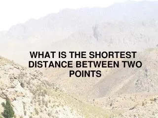
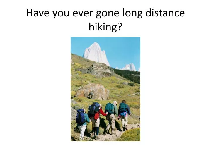
Have you ever gone long distance hiking?. A new map which can help us solve all these challenges!. What observations can you make?. First important definition. Contour lines join points of equal elevation (height) above a given level, such as sea level .

E N D
A new map which can help us solve all these challenges! What observations can you make?
First important definition • Contour lines join points of equal elevation (height) above a given level, such as sea level. • Try p. 7 #1 What cities are at the same elevation?
Second important definition • The vertical distance between the elevations represented by two neighboringcontour lines on a map is called contour interval. • P. 7 #2 What is the contour interval? • P.7 #3 What is the contour interval?
Key words: neighboring and verticalContour intervals show differences in heightScales show differences in distance
Remember: Contour interval = height Scale = distance traveled
Notice, not every line is labeled. How can you figure out the height of the unlabelled lines?
What is the contour interval in this picture? What is the height of the most inner contour line/ line X?
Third important definition • A map using contour lines to show changes in elevation (height) is a topographic map.
Now we’re at 200m. 200m 100m
Shall we march on? 200m 100m
We’ve made it to 300m! 300m 200m 100m
On to the peak! 300m 200m 100m
We’re on the peak, but what’s our elevation? 300m 200m 100m
Any ideas? Let’sadd contour lines for every 50 meters and see if that helps. 300m 200m 100m
We know that we are above 350m, but less than 400m. 350m 300m 250m 200m 150m 100m 50m
Let’s head down the hill, it’s getting late! 350m 300m 250m 200m 150m 100m 50m
Now what’s our elevation? 350m 300m 250m 200m 150m 100m 50m
What’s our elevation now? 350m 300m 250m 200m 150m 100m 50m
Let’s now look at the same hill, but the way we might see it from an airplane!
Now, let’s try the same hike! Our elevation is 0 meters and the contour interval is 50m.
What is the elevation that the man is at? Remember the contour Interval is 50m. The first line is 0m.
If you said more than 150 meters, but less than 200 meters your right!
More than 300meters • But less than 350meters
If we were standing on the peak, what would be our elevation? (50m contour interval)
Let’s see what you know. E C D B 1200m F 1000m A 800m 400m 600m
Quiz Time Grab a white board and write your answers to the following questions. Ready?
1. What is the possible elevation at B? E C D B 1200m F 1000m A 800m 400m 600m
The elevation must be under 1400 meters, but over 1300 meters.
2. What is the elevation at (E)? E C D B 1200m F 1000m A 800m 400m 600m
3.What is the elevation difference between (A) and (B)? E C D B 1200m F 1000m A 800m 400m 600m
(A) is probably close to the 750 meter line, (B) is above 1300 meters. The difference between the two would probably be 650 to 700 meters.
5. If you walked a straight line from (D) to (C) would you walk over a ridge or down a valley? E C D B 1200m F 1000m A 800m 400m 600m
Down a valley • first you are going down, then you are going up again.
Easy way to judge geological features-write this down • 1. If you are going in a direction, and the number is going up, that means you are going uphill. • 2. If you are going in a direction, and the number is going down, that means you are going downhill.
Steeper slopes, lines are closerRead rules for profiles on p.8