Download
1 / 33
330 likes | 482 Views
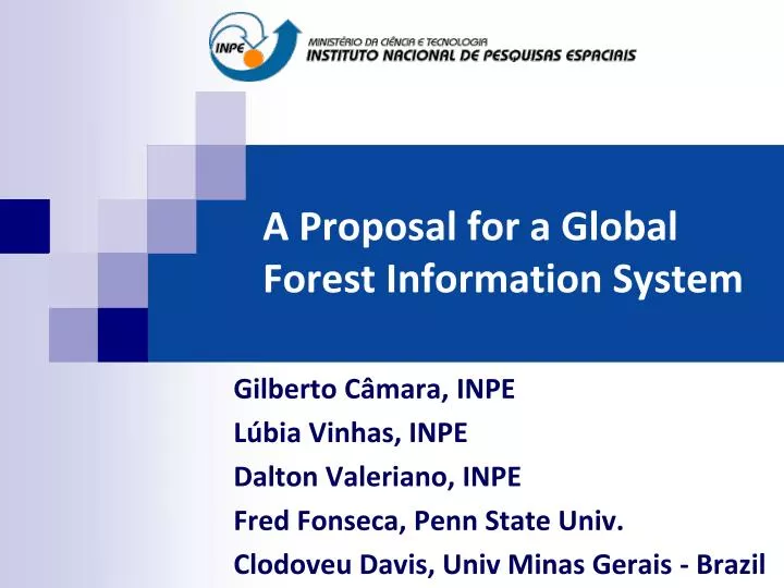
A Proposal for a Global Forest Information System. Gilberto Câmara , INPE Lúbia Vinhas , INPE Dalton Valeriano , INPE Fred Fonseca, Penn State Univ. Clodoveu Davis, Univ Minas Gerais - Brazil. Brazilian National Plan for Climate Change.

E N D
A Proposal for a Global Forest Information System Gilberto Câmara, INPE LúbiaVinhas, INPE Dalton Valeriano, INPE Fred Fonseca, Penn State Univ. Clodoveu Davis, Univ Minas Gerais - Brazil
Brazilian National Plan for Climate Change HowcanBrazilachieve its deforestationtargets?
Degradation and deforestation Barlow and Peres (2008) T1 - Selectivelogging T2 – Partial Loss of forest structure T3 – Collapseofforeststructure T4 – Clear-cutarea
T1 – Selective logging T1,5 – Lossofundercoverdue to fire T2 – Partiallossofforeststructure T3 – Complete loss of forest structure Progressive degradation
Progressivedegradation: the final steps Pasture Severelydegradedforest Marcelândia (MT, Brazil) – Jan-2008 (4.000 ha) Pastureinside a forestarea
PRODES: Clear-cutdeforestationmapping ~230 scenes Landsat/year Yearly detailed estimates of clear-cut areas
DETER: Real-time deforestation monitoring 15-day alerts of newly deforested large areas
DEGRAD: Forest degradation Forest degradation in LANDSAT image (June 2008)
TerraAmazon – open source software for large-scale land change monitoring 116-112 116-113 166-112 Spatial database (PostgreSQL with vectors and images) 2004-2008 data: 3 million polygons, 300 GB images, 250 GB vector data
How hard is to use MODIS? Landsat/TM (August 2007) MODIS (November 2007) Alerta DETER nov-2007 Detectionofdeforestationanddegradation in MODIS requiresmuch expertise (low-resolutionartifacts)
CheckingDETER´s data (February 2008) Clearingareafor pasture Validation is essential for credibility!
How hard is to use ALOS? The real thing (Marcelandia, Brazil) LANDSAT TM image (June 2007) ALOS L-HH image (July 2007) ALOS L-HH image (November 2007) Backscatter is seasonallyvariable (chance offalse positives andfalsenegatives)
Methods: Mixture Model Original LANDSAT TM image Soilcomponent Shadecomponent Vegetationcomponent In search ofthepure pixels (theHolyGrailofremotesensing)
Methods: Segmentation Soilcomponent Segmentedsoilcomponent
Methods: Classification Deforestation2005-2006 Deforestation2004-2005 Forest Previousdeforestation
Methods: Editing and auditing A lotof work goesintoeditingandauditing!
Results: Wall-to-wallmaps Deforestation is spatiallyautocorrelated (wall-to-wallmaps are required)
INPE´s Remote Sensing Satellites: 2010-2020 2010 2011 2012 2013 2014 2015 2016 2017 2018 2019 2020 CBERS-5 CBERS-4 CBERS-6 CBERS-3 CBERS-SAR Amazônia-2 Amazônia-1 Amazônia-3 CBERS: China Brazil Earth Resources Satellite Amazônia-1: 100% Brazilian
The Anti-Uncle Scrooge Principle LANDSAT data archive (USGS) A pixel unused is a penny wasted A penny saved is a penny earned Value comes from use!
What is a public good? Non-rival ...[goods] which all enjoy in common in the sense that each individual's consumption of such a good leads to no subtractions from any other individual's consumption of that good... (Samuelson) Non-excludable it is impossible to exclude any individuals from consuming the good
Global Forest Information System The Digital Earth vision …images, maps, research results, laws, policies, and citizen-provided information can be indexed, searched, discovered and used by any interested parties...
A Global Forest Information System CBERS HRC (2,5 m) LANDSAT TM (30 m) Navigate, describe, understand: image navigation and processing, production and dissemination of information, knowledge-building using semantics
“A few satellites can cover the entire globe, but there needs to be a system in place to ensure their images are readily available to everyone who needs them. Brazil has set an important precedent by making its Earth-observation data available, and the rest of the world should follow suit.”
Data for the world´s tropical areas Miyun Urumchi Aswan Maspalomas Ghuangzhou Chetumal Accra(?) Nairobi(?) Boa Vista Darwin) Cuiabá Jo´burg Global satellite data in 5 meter+ will be free Concerted action needed with benefits to all involved
Optical Satellites for Forestry HRC CBERS-2B LISS-4 (IRS-P6) 100 MUX CBERS-3/4 SPOT PAN 50 Mapping CBERS SAR-2 CCD CBERS-2/3/4 HRG SPOT MUX CBERS-5/6 LISS-3 IRS-P6/7 TM LANDSAT 10 Revisit (days) Description SENTINEL-2 Detection CBERS SAR-1 AWIFS (IRS-P6/7) 5 AWFI CBERS-3/4 AWFI Amaz-1/2 AWFI CBERS-5/6 WFI CBERS-2 MODIS 1 5 50 500 1 10 100 1000 Resolution (metres)
Multiple perspectives Type 1: Capable national agencies Type 2: Other National agencies Type 3: International organizations Type 4: Scientists and experts Type 5: Private companies (markets and services) Type 6: NGOs and common citizens.
Supporting Type 1 users with high-resolution CBERS-HRC image (2,5 meters) Degradation Deforestation Validation sites (INPE, Feb 2008) High-resolutionimagessupportvalidation
Supporting Type 2 users with web tools Angola CBERS CCD (20 m) 24-June-08 GoogleEarth (resolution? date? ) Angola nationalreport? Web-basedtools for mapping, validationandassessmentofdeforestation
SupportingType 4 userswithsemantics Overcomingthesemantical debate Deforestation! Deforestation? What is deforestation? Knowledge base A Knowledge base B
Global Forest Information System National, int´l agencies Open Globes WikiForest OpenForestMap Congo DR Scientists, Citizens, Markets Angola
Development as Freedom (Amartya Sen) The goal of development is the promotion and expansion of valuable capabilities. Capability is the freedom to achieve valuable beings and doings.