Download
1 / 14
140 likes | 154 Views
This presentation covers the assembly and mapping of indicators to analyze the relationship between land use, poverty, and environment. It explores the upland/lowland divide, district-level indicators, forest land percentage trends, and commercial logging impact. The presentation also delves into the linkages among different ethnic communities in the context of poverty and environment. Additionally, it includes combining case study findings with database analysis to provide a comprehensive overview.

E N D
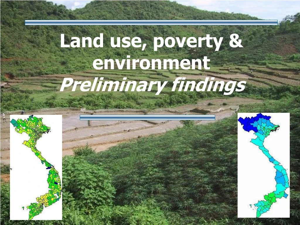
Land use, poverty & environment Preliminary findings
Presentation Overview • Assembling & mapping indicators • Combining database analysis & case study findings • Poverty & environment questions & tentative answers
Assembing & mapping indicators • Upland / lowland divide is a major theme for land use and poverty & environment analysis in the region
Assembling & mapping indicators • District-level indicators are a powerful poverty & environment tool … but data is often not available / reliable
Assembling & mappingindicators • Are % of forest land & trends a contrast indicator (upland / lowland, regions), or a causal indicator of poverty & environment? 1995 2000
Assembling & mappingindicators • Commercial logging (natural forest zoned for production): mapping location? understanding access?
Assembling & mapping indicators • Do poverty & environment linkages differ among categories of ethnic communities?(Location of “Southern groups”)
Complete assembling database : actual forest cover rate National analysis of selected district-level indicators Additional analysis for 3 case study provinces Comparative analysis in surveyed communities Combining case study findings and database analysis