Download
1 / 33
330 likes | 403 Views
Ch. 14 Sec. 1. Defining Climate. Climate is affected by several factors including latitude and elevation. Review Vocabulary. jet stream: a high-altitude, narrow, westerly wind band that occurs above large temperature changes. I. Annual Averages and Variations.

E N D
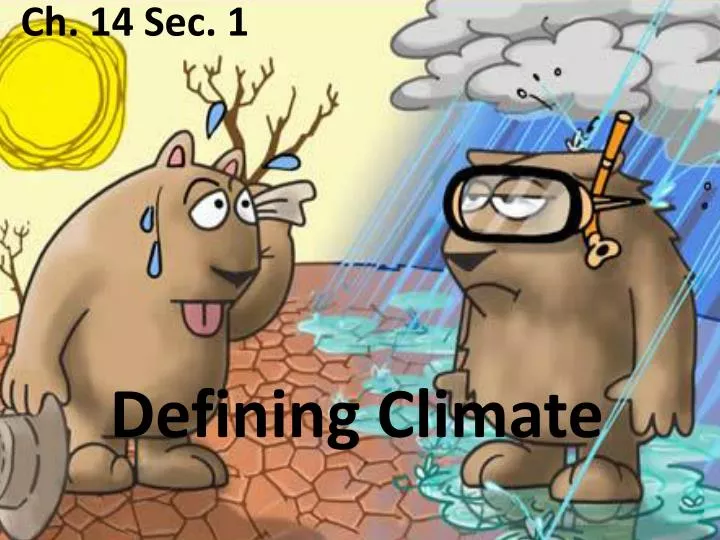
Ch. 14 Sec. 1 Defining Climate
Climate is affected by several factors including latitude and elevation. Review Vocabulary jet stream: a high-altitude, narrow, westerly wind band that occurs above large temperature changes
I. Annual Averages and Variations A. Climatology is the study of Earth’s climate and the factors that affect, present, and future climatic changes
1. Climate - long-term weather patterns of an area a. temperature b. precipitation c. wind d. other weather variables2. Extreme fluctuations over time a. Record highs and lows
B. Normals – 30 year average data (AKA standard values) Normals apply only to the specific place where the meteorological data were collected • Daily variations can differ widely from normals • Airport data can differ from cities Changes in elevation and other factors, such as proximity to large bodies of water, can cause climates to vary.
II. Causes of Climate A. Latitude • Different amounts of solar radiation a. Due to Earth’s shape b. Tilt of Earth’s axis Fig. 14-2 Pg. 378
2. Climate Zones The area between 23.5° S and 23.5° N of the equator is known as the tropics. Tropical areas receive the most solar radiation and are generally warm year-round.
The temperate zones lie between 23.5° and 66.5° north and south of the equator. As their name implies, temperatures in these regions are moderate.
The polar zones are located from 66.5° north and south of the equator to the poles. Polar temperatures tend to be cold.
B. Topographic effects • Water heats up and cools down more slowly than land Coastal areas are warmer in winter and cooler in summer 2. Temperatures in the lower atmosphere generally decrease with altitude Mountain climates are usually cooler than those at sea level
Fig. 14.3 Page 379 Orographic lifting leads to rain on the windward side of a mountain. The leeward side is usually dry and warm.
3. Air masses Fig. 14.4 Page 380 Air masses affect regional climates by transporting the temperature and humidity of their source regions.
Ch. 14 Sec. 2 Climate Classification
Climates are categorized according to the average temperatures and precipitation amounts. Review Vocabulary precipitation: all solid and liquid forms of water—including rain, snow, sleet, and hail—that fall from clouds
I. Köppen Classification System • based on the average monthly values of temperature and precipitation • also takes into account the distinct vegetation found in different climates
Fig. 14.5 Page 381 These graphs show temperature and precipitation for two different climates—a desert in Reno, Nevada, and a tropical rain forest in New Guinea.
Visualizing Worldwide Climates Fig. 14.4 Page 382 Köppen’s classification system is made up of five main divisions based on temperature and precipitation.
A. Tropical climates : Year-round high temperatures 1. Tropical wet climates a. high temperatures b. 600 cm of rain/year c. Maritime tropical (mT) 2. Tropical Rain Forests a. lush vegitation
3. Tropical wet and dry zones - border the rainy tropics to the north and south of the equator a. transition zones b. dry winter seasons due to continental air (cT) c. Savannas
B. Dry climates • 30% of Earth’s land areas • largest climatic zone • continental tropical air dominates • precipitation is low • vegetation is scarce
Subtypes of dry climates 1. Arid regions, called deserts 2. semiarid regions, called semideserts Semideserts are usually more humid than deserts. They generally separate arid regions from bordering wet climates.
C. Mild climates • Humid subtropical a. Warm, muggy summers b. Cool, dry winter 2. Marine west-coast a. Mild winters, cool summers b. Abundant precipitation 3. Mediterranean a. Warm, dry summers b. Cool, rainy winters
D. Continental climates Three subtypes: warm summer climates, cool summer climates, and subarctic climates Tropical and polar air masses often form fronts where they meet in continental climates. Thus, these zones experience rapid and sometimes violent changes in weather, including severe thunderstorms or tornadoes.
1. Tundra a. Low temperatures b. No trees c. Precipitation is generally low E. Polar climates
2. Ice-cap polar climate a. Highest latitudes in both hemispheres b. Average temperatures does not rise above 0°C
3. Highland climate a. Found at high elevations b. Ex. Andes Mountains
II. Microclimates – localized climate that differs from the main regional climate
A. Heat islands Fig. 14.12 Page 385 Many concrete buildings and large expanses of asphalt can create a heat island, where the climate is warmer than in surrounding rural areas.
Climate is affected by several factors including latitude and elevation. • Climate describes the long-term weather patterns of an area. • Normals are the standard climatic values for a location.
Temperatures vary among tropical, temperate, and polar zones. • Climate is influenced by several different factors. • Air masses have distinct regions of origin.
Climates are categorized according to the average temperatures and precipitation amounts. • German scientist Wladimir Köppen developed a climate classification system.
There are five main climate types: tropical, dry, mild, continental, and polar. • Microclimates can occur within cities.