Download
1 / 22
220 likes | 486 Views
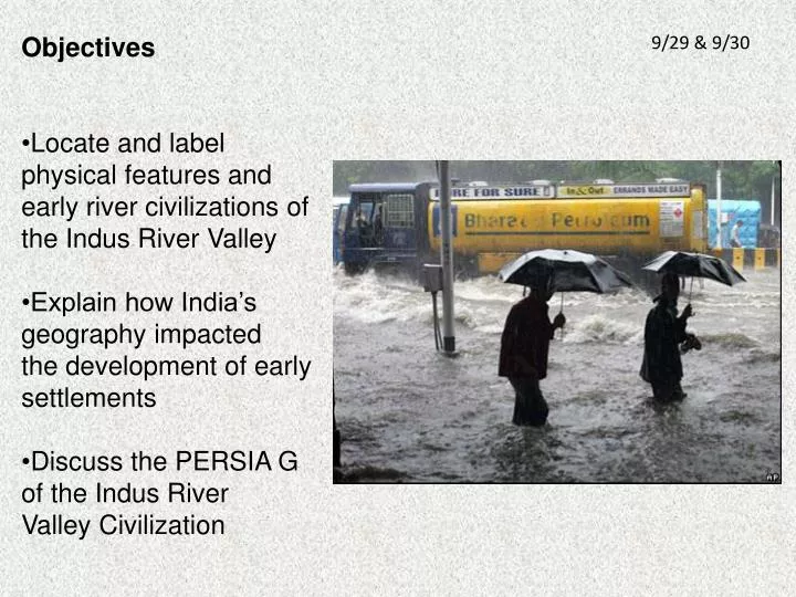
Objectives Locate and label physical features and e arly river civilizations of the Indus River Valley Explain how India’s geography impacted t he development of early settlements Discuss the PERSIA G of the Indus River Valley Civilization. 9/29 & 9/30. 2-2. The Indus River Valley.

E N D
Objectives • Locate and label physical features and • early river civilizations of the Indus River Valley • Explain how India’s geography impacted • the development of early settlements • Discuss the PERSIA G of the Indus River • Valley Civilization 9/29 & 9/30
2-2 The Indus River Valley Indus River
On what continent is India? Asia How would you describe the Geography of India? Take 30 seconds and talk to your neighbor.
Important geographic features: • Mountains: • Himalayas • Hindu-Kush • Karakoram • Rivers: • Indus • Ganges • Other features: • Deccan plateau • Eastern and • Western Ghats • Khyber pass
India is considered a subcontinent because: Karakoram • It is surrounded on three sides by water (it is a peninsula) • Mountains to the northwest and northeast separate it from the rest of Asia Hindu Kush Himalayas What are monsoons? Winter and summer winds that blow across India
What geographic challenges did the monsoons represent for the first civilizations of India?
Harappa and Mohenjo-Daro were the first civilizations of India and they developed on the Indus River. Why did they develop in this location?
Flooding along the Indus River was unpredictable. It did leave behind nutrient-rich silt which made the soil fertile for farming. Harappa and Mohenjo-Daro developed around 3200 BCE.
Historians know less about Harappa and Mohenjo-Daro because the writing system has never been decoded.
Political What they do know comes from these excavated cities. The cities were planned. How do we know this? Why is that important?
Economic • Traded long distances • Artifacts found show that Sumer and Indus traded for about 350 years
Religious • Artifacts show links to modern Hindu Culture • Shiva- is a major Hindu god • Worshipped Cows
Cows are sacred today in India
Society Politically, planned cities suggest a centralized government. What can you infer about society if all of the houses were the same size? There were few differences between social classes – There was no wealthy ruling class
Achievements This is also from Mohenjo-Daro. Anyone want to guess what it is? It’s a toilet. Indoor plumbing was an achievement of the Indus River civilizations.
Achievements • Sophisticated city planning – very detailed and organized • Used a grid system • Citadel – a fortified area surrounded by a wall that protected the major buildings in the city • Public buildings, bath, granaries and religious quarters
By 1750 BCE, The Indus River civilizations had declined. No one really knows why. Theories surrounding the decline: • Sudden natural disaster • Overfarming • Invasion, possibly by an Indo-European people called the Aryans. The Ganges River in the east would become the center of later civilizations in India.
https://cougar.collegiate-va.org/psinkler/indus_valley/valley_map.jpghttps://cougar.collegiate-va.org/psinkler/indus_valley/valley_map.jpg http://www.glogster.com/media/4/25/77/41/25774100.jpg http://nimg.sulekha.com/others/original700/india-monsoons-2009-6-30-6-20-51.jpg http://i85.servimg.com/u/f85/13/45/78/37/harapp10.jpg http://www.nationalgeographic.com/history/ancient/images/sw/mohenjo-daro-pakistan-sw.jpg http://www.imagesofasia.com/html/mohenjodaro/images/large/toilet.jpg http://www.iloveworldhistory.com/index.php?action=resources&id=3 http://cdn8.wn.com/o25/ar/i/25/6b1b4007e9514a.jpg http://upload.wikimedia.org/wikipedia/commons/thumb/8/8f/Indus_river_from_karakouram_highway.jpg/800px-Indus_river_from_karakouram_highway.jpg http://www.sewerhistory.org/images/w/wam/moh_wam15.jpg