Download
1 / 28
280 likes | 398 Views
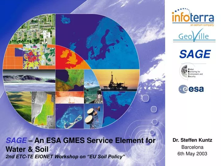
SAGE. Dr. Steffen Kuntz Barcelona 6th May 2003. SAGE – An ESA GMES Service Element for Water & Soil 2nd ETC-TE EIONET Workshop on “EU Soil Policy”. Contents. GMES SAGE Goals Partnership Products & Services Portfolio Product development approach Soil SAGE – current status Outlook

E N D
SAGE Dr. Steffen Kuntz Barcelona6th May 2003 SAGE – An ESA GMES Service Element for Water & Soil2nd ETC-TE EIONET Workshop on “EU Soil Policy”
Contents • GMES • SAGE Goals • Partnership • Products & Services Portfolio • Product development approach • SoilSAGE – current status • Outlook • Contact
GMES – Global Monitoring for Environment and Security • GMES :« Establish by 2008 a European Capacity for Global Monitoring of Environment and Security » • Main GMES Thematic Priorities : • A- Land Cover Change in Europe • B- Environmental Stress in Europe • C- Global Vegetation Monitoring • D- Global Ocean Monitoring • E- Global Atmosphere Monitoring • F- Support to Regional Aid Development • G- Systems for Risk Management • H- Systems for Crisis Management and Humanitarian Aid • I- Information Management Tools and Contribution to the Development of a European Spatial Data Infrastructure
ESA GSE Project - SAGE SAGE stands for: Service for Advanced Geoinformation on Environmental Pressure and State
ESA GSE Project - SAGE SAGEaddresses two European Directives: Thematic Strategy for Soil Protection (STS) [COM(2002) 179 final] Water Framework Directive (WFD) [2000/60/C]
SAGE Goals • SAGE represents • different environmental conditions (boreal, central European, Alpine, Mediterranean), • different information levels (European, regional, national, local), and • different end user-organisations (European Commission – European Environmental Agency, Ministries of Environment from member states and local end user groups; e.g. federal state ministries or regional water / soil authorities).
STS Priority Areas • Soil Sealing Important cross cutting issue, addressing both, soil management and spatial planning issues • Monitoring remote sensing as an supporting tool for mapping and monitoring of Levels I – III • Erosion / Degradation to be addressed within FP 6 IP geoland • Other priority areas i.e. organic matter and contamination still matter of research or only via indirect measurements / indicators (e.g. diffuse contamination according to agriculture practice land use)
SAGE Core Users European Topic Centre Terrestrial Environment, INT Landesanstalt für Wald u. Forstwirtschaft, Thüringen, D County Administ. Board, Dalarna, S Institut Francais de l´Environment Amt der Vorarlberger Landesregierung, A Swedish Environm. Protection Agency Federal Environment Agency Austria Umweltbundesamt, D Water authority Gállego-Cinca Watershed Area, E
SAGE Service Portfolio Intermediate LC/LU Products • Agri - Ecosystem maps • Degree of Sealing Water • Forests and Wetlands Framework Directive Final Products Final Products Aqua Aqua SAGE Soil • • Water Pollution Risk Maps Water Pollution Risk Maps Protection • • Water Shortage Risk Maps Water Shortage Risk Maps Initiative • • Indicators Indicators Soil SAGE • • Soil Sealing Maps Soil Sealing Maps • • Indicators Indicators
Examples of products & services today • Infoterra: Landcover Map of Germany plus surroundings with 25m resolution; Forest Map of Baden-Württemberg, scale 1 : 50,000; > 90 % accuracy) • Astrium: Xstar and then Farmstar ; PAAGE : Pilot Project for applications to agriculture and agri-environment • Geoville: Monitoring of changes of built-up areas for one Austrian State Capital; Generation of sealing and change masks for the State of Lower Austria • Metria: Remote sensing for the analysis of environmental pressures from agriculture – RESAP; wRESEx – Remote sensing and GIS for the follow-up of environmental quality objectives in forests and wetlands
Product Development Approach • Product development goals are quality, reliability, affordability and sustainability of the products and services • Innovation by Integration of existing user-side monitoring mechanisms and models with EO-based inputs • Focus are pre-operational processes (ability to serve!) instead of feasibility focus (i.e. demonstration case studies) only • Feedback cycles to ensure user acceptance, and to optimise system
General Production Approach The production approach • is based on user requirements! • follows European Standards in terms of • Nomenclature (CORINE LC) • Formats (OpenGIS) • Technical standards (INSPIRE) • Quality Issues (ISO) • is based on sound experience of Infoterra in LU/LC applications, especially for • Agricultural land use • Forestry • Processing chains designed for efficient production of LU/LC products, in terms of quality, affordabilty, highest possible degree of automation and ability to reproduce
SoilSAGE • SoilSAGE • Products and services related to land consumption • Core-User groups • European (ETC/TE) • National (FEA Austria) • Regional (State Vorarlberg) • Products & Services • Sealing information (maps, indicators, statistics, scenarios) • 1:100.000 (national reporting) • 1: 25.000 (hotspots)
Urban fabric Urban fabric Agricultural land Agricultural land Water bodies Water bodies Industrial, commercial, transprot & service Industrial, commercial, transprot & service Forests and semi-natural areas Forests and semi-natural areas Artificial, non-agricultural vegetated areas Artificial, non-agricultural vegetated areas Soil sealing and urban sprawlMOLAND - Belgrad
2000 Model Output 2000 1969 1969 Soil Sealing & Storm WaterRun-off Modellingthe relation between rainfall, direct stormwater runoff & soil sealing Land cover Sealing degree Non-EO data
SoilSAGE - Outlook In the framework of an Integrated Project (IP) which was submitted to the European Commission in March the following additional soil related products will be made available on European level: • Soil degradation status & monitoring • Erosion • Desertification • Soil Sealing • Soil degradation models • Soil degradation risk assessment
FP-6 1.4 IP proposal “geoland” Service Strategies Service Partnership Approaches Operational Planning (incl. Cost Scenarios) Development of own architectural outline for production & services Link to INSPIRE Link to EEA and national SDI Link to ESA GSE architecture ideas Co- ordination Operational Scenario Operational Scenarios Dev. Data Procurement Service Infrastructure Dev. EO-Data: Reliability of data availability & access (multi-mission approach) Other Data (e.g. DEMs) Regional Monitoring Global Monitoring Bio-physicalParametres Generic Land Cover Core Services Water & Soil SpatialPlanning Food Security & Crop Monitoring Land Cover & Forest Change Nature Protection NaturalCarbon Fluxes Observatories Habitat Directive Wetlands Water Frame- work Directive Soil Protection Initiative GlobalChange(Kyoto) Global EnvironmentProtection SustainableDevelopment Fight againstPoverty GlobalChange(Kyoto) ESPON Directives Implementation Policy Support
Linked Projects & Proposals • ESA GSE: • Urban Planning (INDRA) • CoastWatch (EADS) • Forest Mapping (GAF) • ESA DUP: • MegaCities • European FP-Projects • GEORANGE (Univ. of Trier) • LADAMER (Univ. of Trier) • Other European Projects • MOLAND, MURBANDY • CORINE Land Cover
Contact Dr. Christian HoffmannGeoVille GmbH 6020 Innsbruck AustriaT. + 43-512 56 20 21 0F. + 43-512 56 20 21 22E. Hoffmann@geoville.com W: http://www.geoville.com Dr. Steffen KuntzInfoterra GmbH88039 FriedrichshafenGermany T. +49-7545-8-9966F. +49-7545-8-1337E. Steffen.Kuntz@infoterra-global.com W: http://www.infoterra-global.com