Download
1 / 15
150 likes | 274 Views
Development of a Fluvial Erosion Hazard Mitigation Program for Indiana. Wabash River Consortium 2011 Symposium: Stream Monitoring and Restoration November 5,2011 Robert Barr Center for Earth and Environmental Science Department of Earth Sciences IUPUI.

E N D
Development of a Fluvial Erosion Hazard Mitigation Program for Indiana Wabash River Consortium 2011 Symposium: Stream Monitoring and Restoration November 5,2011 Robert Barr Center for Earth and Environmental Science Department of Earth Sciences IUPUI
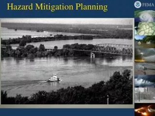
In June 2008, flooding damaged or destroyed more than 650 sections of road, 60 bridges, and 100 culverts in Indiana.
Silver Jackets Federal:FEMA,HUD,NRCS, NWS, USACE, USGS State:IDHS, IDEM, IDNR, INDOT, OCRA Academia:CEES, Polis, Private Sector: National Flood Risk Policy Liaison (ASFPM) OCRAFunding FEH Program 82 counties impacted by 2008 floods USGS FEH Tech. Tools CEES(IUPUI) (Center for Earth and Environmental Science) Outreach / Education Polis(IUPUI) (The Polis Center) GIS and Web Support
Regional Hydraulic Geometry Curves Bankfull Channel Dimensions for Non-urban Wadeable Streams in Indiana, SIR 2014-xxxx (Robinson and Barr) • Drainage Area vs.: • Bankfull Width • Bankfull Depth • Cross-sectional Area Regional curves showing bankfull dimensions vs drainage areas for various hydro-physiographic provinces (Dunn and Leopold, 1978).
Photographic Guide to Bankfull Indicators Patterned after USDA / USFS DVD-ROM
FEH Mapping Patterned after Vermont DEC; GIS application Rivers naturally meander… …require space to establish equilibrium
Area of Interest Little Calumet River near Burns Drive and Nealon Drive, Portage, IN. (yellow lines indicate meander belt width) 2005
Vermont River Management Section Outer meander belt lines of a low gradient, meandering channel Meander belt width approx 6X Bkf channel width Exceptions to the 6X channel width occur in steep, narrow valleys with In resistent materials or in more sensitive areas that require >6X
Bridge-Screening Tool Based on USGS Level 1 bridge-scour methods (1990s) • Bank material • Bank stability • Bed material • Flow alignment • Piers in water • Woody debris • Observed scour
Bank-Stability Assessment Tool Based on OFR 03-186, Robinson, White River… • Field Criteria • Bank height • Bank material • Bank angle • Vegetation condition • Meander position
Presentations and Workshops • 8 introductory presentations to introduce project and opportunities to regional audiences • 3 introductory workshops (up to 35 participants at each workshop) • 5 regional workshops (up to 35 participants at each workshop) • 2 two-day workshops for 20 participants • INAFSM workshop (to present results and applications) • 5 presentations to state and local mitigation planners and community officials to explain the program results, available information, and how to update local mitigation plans.