Download
1 / 14
140 likes | 352 Views
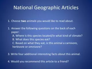
National Geographic FieldScope. Annie Evans Virginia Geographic Alliance. Overview of Session. Introductions/Activity What is GIS? What is citizen science? What is FieldScope ? What is geo-reasoning? How can I get my students involved?. What is GIS?. Activity –. What is GIS?.

E N D
National Geographic FieldScope Annie Evans Virginia Geographic Alliance
Overview of Session • Introductions/Activity • What is GIS? • What is citizen science? • What is FieldScope? • What is geo-reasoning? • How can I get my students involved?
What is GIS? • Activity –
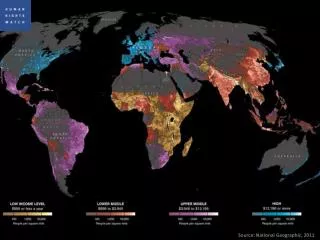
What is GIS? • Activity – • Key Features: • “layers” of information - all geo-referenced • Shape, line, point files • Ability to make queries
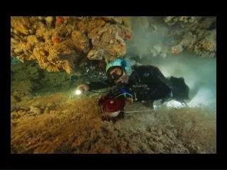
What is citizen science? • Voluntary collection of data to contribute to a larger cause, question, or database. • Examples:
What is FieldScope? • A GIS- and web-based platform for exploring citizen science data • Highlights • Learner Friendly • New data is being added all the time (it’s alive!)
What is geo-reasoning? • Decision Making • Geographic (location, transportation) • Far-reaching (remote consequences) • Systems Thinking • Human systems • Environmental systems • Human-environment interactions Source: Daniel Edelson, VP Education, NGEP
FieldScope and geo-reasoning • Geographic Decision Making
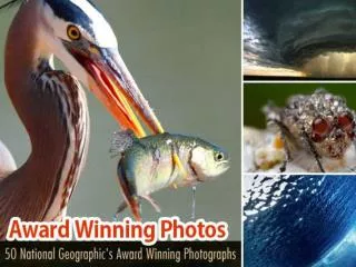
How can I get my students involved? • Get involved with a citizen science organization that is using FieldScope • FrogWatch USA • Project BudBurst • Trash Free Potomac Watershed • Nature Bridge – Olympic National Park • BioBlitz 2013 in New Orleans • Stay tuned for “project builder” tools… • For updates check www.natgeoed.org/fieldscope • Use FieldScope to explore issues as we just did
Going Deeper • Which FieldScope project do you want to dive into more deeply? • How can you see using it with your students?