Download
1 / 10
100 likes | 260 Views
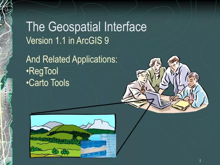
The Geospatial Interface Version 1.1 in ArcGIS 9. And Related Applications: RegTool Carto Tools. What is the GI?. It is a GAC (Geospatial Advisory Committee) sponsored project to build an integrated single point of entry for all users of geospatial data. What’s the GI consist of?.

E N D
The Geospatial Interface Version 1.1 in ArcGIS 9 • And Related Applications: • RegTool • Carto Tools
What is the GI? It is a GAC (Geospatial Advisory Committee) sponsored project to build an integrated single point of entry for all users of geospatial data.
What’s the GI consist of? Two parts: • Geospatial Interface – a simple user interface (ArcMap toolbar) with full access to all of the data defined in the Forest Service GIS Data Dictionary • Geospatial Structure – The underlying “metadata repository” -- A series of Oracle tables defining the relationships between data objects and the what and where of them
Geospatial Interface Relationships ArcGIS 9 Environment Carto Tools Feeds TEUI Toolkit Infra Range GI Client 1.1 Feeds Replicates Structure Feeds GI Structure (Registry) replaces the GIS Foundation and Infra Data Catalog. It’s a set of Oracle Tables on your cell for the “Where”, “What” and “How” of geospatial data to feed applications. Local Server’s GI Structure Distributes “content” GSTC Mapping Committee User Boards • National • Symbology Team • One per Region & GSTC & FSNRA • Coordinate & Facilitate Content and Symbology GI Content Design e.g. GI Data Dictionary NRIS Local Infra Projects ALP TIM/FACTS Registration Tool Register Map & Report Products
GI and Related Applications • Registration Tool • An interface to register the what, where and how into the GI Structure tables so that new products appear on the GI NavTree
GI and Related Products • Registration Tool • A set of Forms that registers datasets and products into the Geospatial Structure (aka Registry) • Meant for Content developers and highly skilled GIS Specialists • Adds local datasets to the GI NavTree • Grids, DOQ’s, coverages, shapefiles, etc can be registered • The Recordset writer functionality will create and register new featureclasses based on a query (especially useful for Event Themes) • Class break and unique value rendering is supported • Distribution of Content to the GI NavTree is completely automated- it is distributed through Oracle and your NavTree is updated at GI startup.
GI and Related Applications Carto Tools • An ArcGIS 9.0 extension developed by ESRI with the F.S. providing most of the requirements and testing (not funding) • Produces “cartographic layouts” for creating maps or a series of maps based on user-defined tiles, e.g. quads or watersheds • “Cartographic Layouts” will be available to users of the GI via the “5th button”, currently under development
Other Features of Carto Tools • Content can be provided by the Geospatial Interface • Dynamic Text and Objects • Graphic layers ala Freehand for map publication • Batch print or batch export (.pdf or .jpg) • Transparency control of surrounding area • Map indexes can be created from line and point features
Help from the Carto Tools Project for the GI • Ported to .Net • Ported to ArcGIS 9 • Adding 5th “Carto” button to deliver collar information and page setup • Registering GIS DD Content
Questions? Project Manager: Curtis Day NRIS Tools & Infra Corvallis, OR (541) 750-7090 cday@fs.fed.us Downloads, documentation and training videos: http://fsweb.gac.fs.fed.us/geoteam/index.html