Download
1 / 12
120 likes | 201 Views
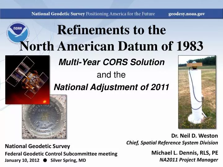
Refinements to the North American Datum of 1983. Multi-Year CORS Solution and the National Adjustment of 2011. Dr. Neil D. Weston Chief, Spatial Reference System Division Michael L. Dennis, RLS, PE NA2011 Project Manager. National Geodetic Survey

E N D
Refinements to theNorth American Datum of 1983 Multi-Year CORS Solution and the National Adjustment of 2011 Dr. Neil D. Weston Chief, Spatial Reference System Division Michael L. Dennis, RLS, PE NA2011 Project Manager National Geodetic Survey Federal Geodetic Control Subcommittee meetingJanuary 10, 2012 ● Silver Spring, MD
NA2011 project status • NA2011 network update • Additional data added December 14, 2011 • CONUS and the Caribbean (plus Alaska) • 4197 projects (previously 4152); increase of 45 • 80,245 stations (previously 79,107); increase of 1138 • 429,757 vectors total (previously 414,455); increase of 15,302 • Approximately 407,000 enabled vectors • All referenced to North American tectonic plate • Comparison to NSRS2007 network • 3418 projects 23% more in NA2011 • 67,693 stations 19% more in NA2011 • 283,691 vectors enabled 43% more in NA2011
NA2011 project status • Adjustment regions • Alaska adjusted separately from CONUS and Caribbean • 130 projects, 944 stations, 2780 vectors • But also referenced to North American tectonic plate • Pacific region adjusted separately • 38 projects, 503 stations, 1677 vectors • Referenced to Pacific and Mariana tectonic plates • All results will be constrained to NAD 83 MYCS coordinates • Other recent activity on the project • Re-enabled ~20,000 previously rejected vectors • Total ~22,600 rejected (previously ~42,600 rejected) • HTDP applied to ALL GPS vectors (not just western states) • Other challenges: • No-check stations, subsidence areas, network connectivity • Making use of GIS for display and analysis of results
NA2011 project status • Expect overall coordinate change approx same as MYCS • Horizontal: Mean ~2 cm (±8 cm), median ~0 cm • Vertical: Mean ~ -1 cm (±2 cm), median ~ -1 cm • This is for change in realization and reference epoch • NAD 83(CORS96) epoch 2002.00 NAD 83(2011) epoch 2010.00 • New NAD 83 coordinate transformation tools • NAD 83(HARN) (NSRS2007/CORS96) (2011) • Both horizontal coordinates and ellipsoid heights • Currently under study and development by NGS • Prelim high res (1 arc-minute) grids completed for HARN / NSRS2007 • Includes error grid to give users estimate of accuracy
When will it all be done? • Multi-Year CORS Solution • Officially released coordinates September 2011 • Will publish in NGS database simultaneously with NA2011 • National Adjustment of 2011 • Goal: Complete in March 2012, publishearly April 2012 • Final data added to NA2011 network mid-Dec 2011 • OPUS (Online Positioning User Service) • Dual solutions (CORS96 and MYC) will be available until NA2011 complete • NAD 83(HARN)(NSRS2007/CORS96) coordinate transformation tool • Expect completion by end of February 2012 • Will create (NSRS2007/CORS96) (2011) tool after NA2011 complete • New hybrid geoid model (GEOID12) • Use NAD 83(2011) ellipsoid heights on leveled NAVD 88 benchmarks • Plan release same time as NA2011
More information… geodesy.noaa.gov