Download
1 / 11
110 likes | 276 Views
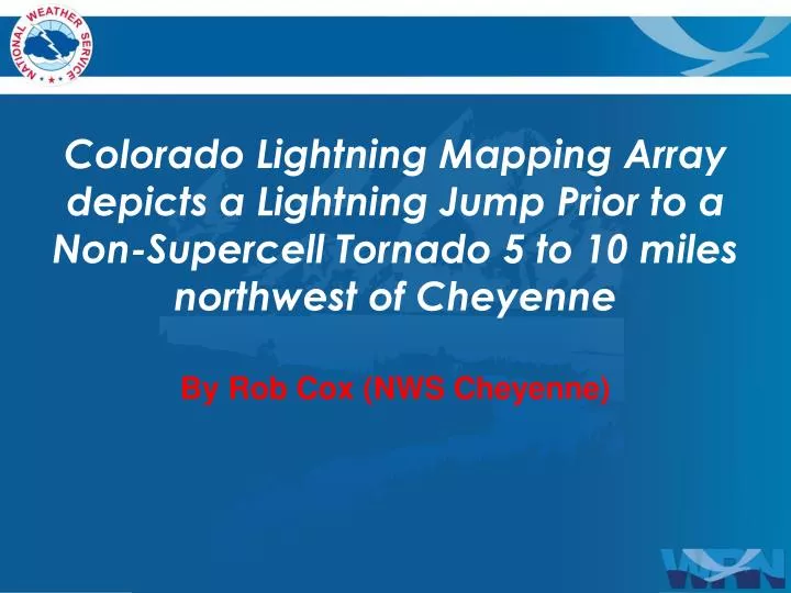
By Rob Cox (NWS Cheyenne) . Colorado Lightning Mapping Array depicts a Lightning Jump Prior to a Non- Supercell Tornado 5 to 10 miles northwest of Cheyenne. July 29, 2013 @ ~6pm. Photo Courtesy Steve Apfel. Tornado ~5 to 10 miles Northwest of Cheyenne.

E N D
By Rob Cox (NWS Cheyenne) Colorado Lightning Mapping Array depicts a Lightning Jump Prior to a Non-Supercell Tornado 5 to 10 miles northwest of Cheyenne
July 29, 2013 @ ~6pm Photo Courtesy Steve Apfel
0.5 deg. Z ~15 min prior to Tornado MIC Home
0.5 deg V. ~15 min Prior to Tornado MIC Home
Summary • Look for Pre-Existing Convergent Surface Boundaries • 0-3km Capes Greater than 40 j/kg • Steep Low level Lapse Rates • High Reflectivity's Aloft • Mid level Rotation • Lightning Jump ~10 to 15 min prior to Tornado Development