Download
1 / 18
180 likes | 332 Views
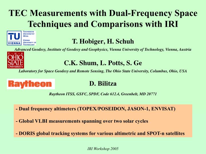
TEC Measurements with Dual-Frequency Space Techniques and Comparisons with IRI T. Hobiger , H. Schuh Advanced Geodesy, Institute o f Geodesy and Geophysics, Vienna University of Technology, Vienna, Au stria C.K. Shum , L. Potts , S. Ge

E N D
TEC Measurements with Dual-Frequency Space Techniques and Comparisons with IRI T. Hobiger, H. Schuh Advanced Geodesy, Institute of Geodesy and Geophysics, Vienna University of Technology, Vienna, Austria C.K. Shum, L. Potts, S. Ge Laboratory for Space Geodesy and Remote Sensing, The Ohio State University, Columbus, Ohio, USA D. Bilitza Raytheon ITSS, GSFC, SPDF, Code 612.4, Greenbelt, MD 20771 • - Dual frequency altimeters (TOPEX/POSEIDON, JASON-1, ENVISAT) • - Global VLBI measurements spanning over two solar cycles • - DORIS global tracking systems for various altimetric and SPOT-n satellites IRI Workshop 2005
Satellite Band Frequencies Orbit TEC GPS L1/L2 1.5/1.2 GHz 20,200 km slant T/P Ku/C 13.6/5.3 GHz 1300 km vertical Jason Ku/C 13.6/5.3 GHz 1300 km vertical Envisat Ku/S 13.6/3.2 GHZ 800 km vertical DORIS 2.0/401.25 MHz 800-1300 km slant VLBI X/S 8.4/2.3 GHz slant DORIS = Doppler Orbitography and Radio positioning Integrated by Satellite L1 1.545 GHZ 1 TECU 16.2 cm delay Ku 13.6 GHz 1 TECU 2.2 mm delay IRI Workshop 2005
VLBI IRI Workshop 2005
VLBI DATA SOURCE AND ESTIMATION TECHNIQUE • VLBI provides only baseline (=differential) measurements • Adopted estimation method developed atVienna University of Technology • station dependent VTEC values modelled • by piece-wise linear functions • longitudinal rotation of datapoints • equivalent to sun-fixed reference system • - north-south variations described by linear gradients • - adjustment algortithm prohibits negative TEC values • Data from International VLBI Service for Geodesy & Astrometry • Period: 1984 – 2005, depending on antenna involvement IRI Workshop 2005
Map of all IVS VLBI stations IRI Workshop 2005
Average of 20 years of data IRI Workshop 2005
Altimeters IRI Workshop 2005
Dual-Frequency Altimeters • The ionosphere delay measured by dual frequency radar altimeters is in nadir direction over ocean and large lakes. • TOPEX/Poseidon (T/P) and JASON-1 carry Ku band (13.6 GHz) and C band (5.3 GHz) altimeter flying in a 1300 km orbit, while ENVISAT with Ku band (13.575 GHz) and S band (3.2 GHz) altimeter in 800 km orbit. • The global sea level change study requires altimeter to be well calibrated and to have long term stability. • Evaluate the error budget from ionosphere contributions is very important for sea level research. • Due to the higher frequency of the altimeter instrument, the ionosphere delay is small comparing to GPS, e.g., 1 TECU causes 16.2 cm delay at L1, but only 2.2 mm delay at Ku band. IRI Workshop 2005
Single-Frequency Altimeters • Most historic altimeters (GEOSAT, etc) were single-frequency (Ku band) systems and relied on models for the computation of the ionospheric delay. • IRI-95 was adopted to reprocess the GEOSAT Geophysical Data Record (GDR) (Lillibridge and Cheney, 1997) • IRI-95 was used for the processing of the GEOSAT Follow On (GFO) Interim GDRs (Navy IGDR Users Handbook, 2000; NOAA GFO IGDR Format, 1998; Shum et al., 2001). • ERS-1 and ERS-2 data products were computed using IRI-95 (CERSAT, 1996). IRI Workshop 2005
Bilitza et al., 1996 IRI Workshop 2005
Shengjie Ge et al., AGU Fall, 2004 Jump due to CODE processing problem IRI Workshop 2005 Equinoctial maxima
Zhao et al., 2005 (GIM=CODE) A 10 cm range correction was added to the C-band measurement to keep the dual-frequency ionosphere delays from being negatively biased and to agree with calibration and validations with ionosonde data (Imel, 1994). Range corrections of –20 mm and 130 mm were added to the TOPEX Side B altimeter Ku-band and C-band range measurements, respectively, based on comparisons with JPL GIM. IRI Workshop 2005