Download
1 / 12
120 likes | 132 Views
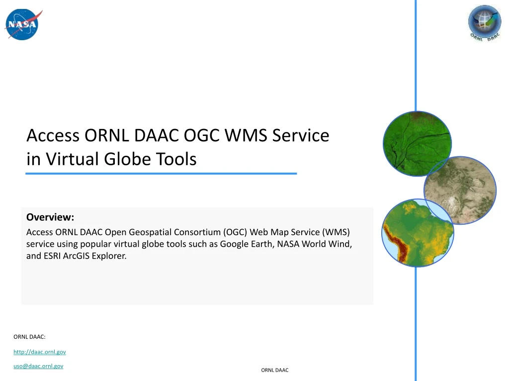
Learn how to access ORNL DAAC's Open Geospatial Consortium (OGC) Web Map Service (WMS) using popular virtual globe tools such as Google Earth, NASA World Wind, and ESRI ArcGIS Explorer. Detailed steps for adding WMS overlays in Google Earth, NASA World Wind, and ESRI ArcGIS Explorer are provided.

E N D
Access ORNL DAAC OGC WMS Servicein Virtual Globe Tools Overview: Access ORNL DAAC Open Geospatial Consortium (OGC) Web Map Service (WMS) service using popular virtual globe tools such as Google Earth, NASA World Wind, and ESRI ArcGIS Explorer.
Access ORNL DAAC OGC WMS service using: • Google Earth • http://earth.google.com • NASA World Wind (Open Source) • http://worldwind.arc.nasa.gov/java/ • ESRI ArcGIS Explorer (formerly ArcExplorer) • http://www.esri.com/software/arcgis/explorer/arcexplorer.html ORNL DAAC
Access ORNL DAAC WMS in Google Earth: Step 1/4 Zoom in on an area you'd like to see a WMS overlay, then add an image overlay … ORNL DAAC
Access ORNL DAAC WMS in Google Earth: Step 2/4 The “Google Earth – Web Mapping Service Parameters” window should pop up. Add the ORNL DAAC WMS server (http://webmap.ornl.gov/ogcbroker/wms) and all the available layers will show on the left panel. Select the WMS layers you want to see and add them to the right panel. Then Click “OK”. ORNL DAAC
Access ORNL DAAC WMS in Google Earth: Step 3/4 The added layer(s) will automatically show up in Google Earth. You can modify the WMS overlay properties in the “Google Earth – New Image Overlay” window. ORNL DAAC
Access ORNL DAAC WMS in Google Earth: Step 4/4 The added layer(s) will show up in Google Earth’s “Places” list. You can Pan, Zoom in, or Zoom out in Google Earth as you usually do, the WMS overlay map will be refreshed automatically ORNL DAAC
Access ORNL DAAC WMS in NASA World Wind: Step 1/3 Modify <WORLD_WIND_INSTALLATION_DIRECTORY>\Config\Earth\Tools\wms_server_list.xml to update WMS server list in NASA World Wind Installation directory ORNL DAAC
Access ORNL DAAC WMS in NASA World Wind: Step 2/3 Use “WMS Browser” tool to view available WMS layers and select layers to display in World Wind ORNL DAAC
Access ORNL DAAC WMS in NASA World Wind: Step 3/3 You may choose to display selected WMS layer as still image or time series animation (only available for layers with multiple time steps) ORNL DAAC
Access ORNL DAAC WMS in ESRI ArcGIS Explorer: Step 1/3 Bring up the “Add GIS Service” window: ORNL DAAC
Access ORNL DAAC WMS in ESRI ArcGIS Explorer: Step 2/3 Add ORNL DAAC WMS service (http://webmap.ornl.gov/ogcbroker/wms?) into ArcGIS Explorer following the steps below: ORNL DAAC
Access ORNL DAAC WMS in ESRI ArcGIS Explorer: Step 3/3 The selected WMS layer will be listed and displayed in ArcGIS Explorer. ORNL DAAC