Download
1 / 18
180 likes | 373 Views
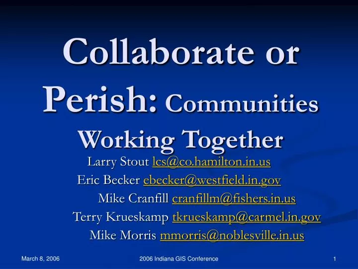
Collaborate or Perish: Communities Working Together. Larry Stout lcs@co.hamilton.in.us Eric Becker ebecker@westfield.in.gov Mike Cranfill cranfillm@fishers.in.us Terry Krueskamp tkrueskamp@carmel.in.gov Mike Morris mmorris@noblesville.in.us. Battlestar Galactica.

E N D
Collaborate or Perish:Communities Working Together Larry Stout lcs@co.hamilton.in.us Eric Becker ebecker@westfield.in.gov Mike Cranfill cranfillm@fishers.in.us Terry Krueskamp tkrueskamp@carmel.in.gov Mike Morris mmorris@noblesville.in.us 2006 Indiana GIS Conference
Battlestar Galactica 2006 Indiana GIS Conference
Battlestar Galactica "There are those who believe... that life here... began out there. Far across the universe. With tribes of humans... who may have been the forefathers of the Egyptians... or the Toltecs... or the Mayans... that they may have been the architects of the Great Pyramids... or the lost civilizations of Lemuria... or Atlantis... Some believe that there may yet be brothers of man... who even now fight to survive... somewhere beyond the heavens." 2006 Indiana GIS Conference
Athena Commander Adama CaptainApollo Maren Jensen Lorne Green Richard Hatch Captain Apollo Lt. Starbuck Richard Hatch 2006 Indiana GIS Conference Dirk Benedict
The Galactica Hamilton County leads a fugitiveon a lonely quest… HagTag ragtag group of geeks fleet 2006 Indiana GIS Conference
Commander Adama Captain Apollo Athena Larry Stout Mike Cranfill Terry Krueskamp Colonel Tigh Lt. Starbuck Eric Becker Mike Morris
Hamilton County Courthouse and Government & Judicial Center Imperial Star Destroyer 2006 Indiana GIS Conference
Millennium Falcon Carmel City Hall 2006 Indiana GIS Conference
YT-1300 Transport Fishers Town Hall 2006 Indiana GIS Conference
X-Wing Fighter Noblesville Wastewater Utility Noblesville City Hall (2005) 2006 Indiana GIS Conference
Boba Fett’s Slave One Westfield Town Hall Westfield Public Works 2006 Indiana GIS Conference
Requirements for a Group Name Mission Statement 2006 Indiana GIS Conference
Our Name Hamilton County Local Government Geographic Information System Technical Advisory Group • Hamilton County Local Government Geographic Information System Technical Advisory Group • HamCoLoGoGisTag • HagTag HamCoLoGoGisTag 2006 Indiana GIS Conference
Our Mission Statement HagTag is an informal group of GIS leaders from local government units in Hamilton County who strive to enhance the value of geographic information in Hamilton County by developing methods, procedures, and workflows to share, maintain, and use the geographic information in more efficient and mutually beneficial ways. 2006 Indiana GIS Conference
Our Mission Statement(slide 2) We believe expanding the use of geographic information increases its accuracy and value. We also believe a better understanding of each community’s uses of geographic information will benefit all of the communities involved. 2006 Indiana GIS Conference
Our Mission Statement(slide 3) We will not set any policies, but will instead develop ways to make policies set by others work more efficiently. We may make recommendations to those in our respective local governments who make policies. We will work by consensus. 2006 Indiana GIS Conference
HagTagInitiatives • Pictometry implementation • Digital Submittal Standard • Cost sharing for the 2005 ortho buy-up • Distributed maintenance of E-911 address data • Outfall mapping standards • Cost sharing for the 2006 orthos 2006 Indiana GIS Conference
Rule 1:All PowerPoint presentations by GIS professionals must include a map Atlanta Arcadia Sheridan Cicero Noblesville Westfield Carmel Fishers 1886 Hamilton County Map