Download
1 / 21
210 likes | 359 Views
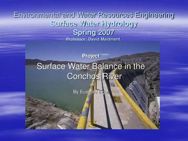
Environmental and Water Resources Engineering Surface Water Hydrology Spring 2007 Professor: David Maidment. Project Surface Water Balance in the Conchos River By Eusebio Ingol. Presented by Eusebio Ingol April 24, 2004. Outline. Objectives Study Area Data Sources Precipitation

E N D
Environmental and Water Resources EngineeringSurface Water Hydrology Spring 2007Professor: David Maidment. Project Surface Water Balance in the Conchos River By Eusebio Ingol Presented by Eusebio Ingol April 24, 2004
Outline • Objectives • Study Area • Data Sources • Precipitation • Evaporation • Runoff and water balance • Simulation of the runoff process. • Conclusions
Objectives • Calculate the precipitation and evaporation • Analyze the runoff in the study area. • Carry out a surface water balance. • Application of GEO- HMS
Study Area • Conchos river basin is located in Chihuahua State. Mexico. • Coordinates: 107.75 and 104 Longitude West. • 26 03’ and 31 45’ Latitude North Conchos basin
Data Source • http://nomads.ncdc.noaa.gov/ • CRWR database provided by Dr. Carlos Patino. Database from the rio conchos. http://landcover.usgs.gov/glcc/
Precipitation • Climatic stations and control points • 89 climatic stations • 20 control points
Variation of precipitation • ArcMacp, Spatial analysis. Thiessen polygon. • Max. in the Llanitos Station. With 188 mm in July. • Min. Station Ojinaga. • Average precipitation • 425.6 mm • Llanitos 700 mm. • Boquilla 535 mm
Evaporation Evaporation data will be analyzed from NARR. Runoff Outlet Ojinaga station Mean = 835 MMC/year 70 MMC/month
Runoff vs Rainfall • 20 years information, 1980 - 2000. in the outlet the annual runoff was converted to mm. Correlation coefficient is low. y = 0.6629e0.0059x
Analysis evaporation and precipitation from NARR • 1999 was shown. Monthly evaporation was downloaded from Narr. • Arc Map, spatial analysis was used. • Multi dimensional tools was used to convert NARR to Raster. • Convert raster to feature point. After that interpolate. Statistical analysis NARR convert to raster NARR interpolated
Precipitation from NARR NARR to Raster Raster interpolated
Results NARR • The results were obtained for each sub river basin. In general, Ev > Pr Jun, Jul, and Aug values more 35 mm
Precipitation of different sources In all basin 1999: Total Pr: NARR = 143 mm IMTA = 303 mm Villalba sub basin
Water balance P E Qi Qout
Hydrologic modeling • In order to analyze the hydrologic behavior of the basin in study, as first phase a sub basin was selected A = 18,900 km2 To perform this task, we used ArcMap, Archydro, GEO-HMS, HMS model
Working with GEO -HMS • Agree DEM, fill, fac, fdr, str, lnk catchments, drainage lines, and adjoint catchments were determined with Arc Hydro in Arc Map. • After that, we define the data management and create a new project • ( Geo-HMS). Define a outlet of the sub basin and generate the project. • More details about this procedure, we can see the following website; http://web.ics.purdue.edu/~vmerwade/tutorial.html After that the folder with the name BoquiConchos Was created. Extract basin characteristics of the Basin such as river length, river slope, Basin slope, longest flow path, basin centroid Area defined with HMS
Select ion parameters. HMS process. Transform method: Soil Moisture Accounting , Routing method: Muskingum. Flow base: Linear reservoir Unit hidrogram: Soil Conservation service SCS The idea is first calibrate the model
Other parameters • River auto name, Basin auto name, CN lag Method(Tc). • HMS schematic HMS model for boquilla conchos HMS schematic for the Boquiila sub basin
Add coordinates, prepare data for exporting, basin file, meteorological model were carried out. Boquilla basin in HMS
Results HMS • The model was ran for 1999. Parameters to the soils from WEAP Hydrology Model Applied The Rio Conchos Basin. The model is in process of calibration
Conclusions • Based on the analysis of precipitation data, we conclude that annual precipitation in the Conchos basin is 425 mm/year. • From the analysis of NARR, the evaporation in the basin is around 142 mm/year with monthly average of 11.84 mm. High values were presented in June, July, and August. • The water balance carried out for 1999 shows shortage of water for February, March, April, and May respectively. • In this study, the Geo –HMS and HMS were used only for the 1999 in a determined sub basin. The model must be calibrated and validated for a period more or less 5 years