Download
1 / 42
430 likes | 543 Views
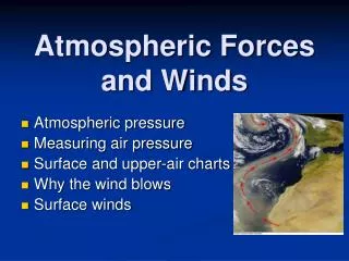
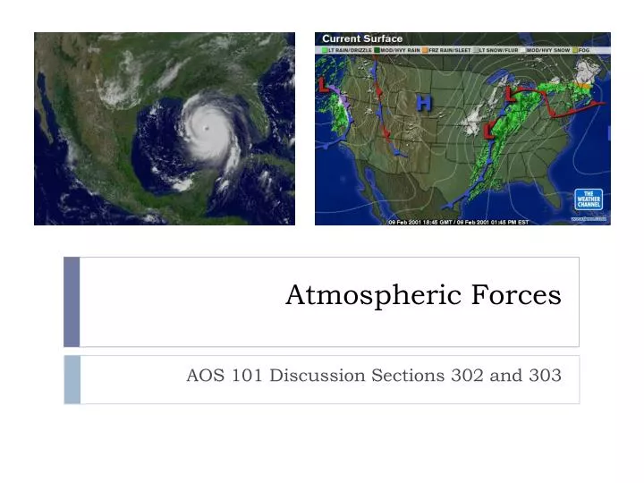
Atmospheric Forces. AOS 101 Discussion Sections 302 and 303. Why Does the Wind Blow?. What makes the wind blow? We need to think about Newton's Laws 1 st Law An object at rest will remain at rest; an object in motion will remain in motion as long as no force is exerted on the object.

E N D
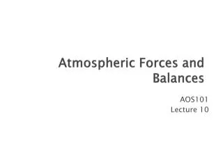
Atmospheric Forces AOS 101 Discussion Sections 302 and 303
Why Does the Wind Blow? • What makes the wind blow? • We need to think about Newton's Laws • 1st Law • An object at rest will remain at rest; an object in motion will remain in motion as long as no force is exerted on the object. • 2nd Law • The total force exerted on an object is equal to the acceleration of the object times its mass
Pressure Gradient Force • Compels fluids to move from high pressure to lower pressure
Coriolis Force • An apparent force • Results from the constant rotation of the Earth • Northern Hemisphere • Acts at a 90°angle to the right of the object in motion (such as the wind) • This means that a wind from the south would have a CF acting toward the east
Missile starts at Dallas, which is at a latitude of 37.28 N, rotates with the Earth at a speed of 465.11 m/s.
Missile travels toward Winnipeg which, at a latitude of 52.00 N, rotates with the Earth at a speed of 286.35 m/s
Geostrophic Balance L 996 mb X 1000 mb 1004 mb H
Geostrophic Balance Pressure Gradient Force L 996 mb 1000 mb 1004 mb H
Geostrophic Balance Pressure Gradient Force L 996 mb 1000 mb Coriolis Force 1004 mb H
Geostrophic Balance Pressure Gradient Force L 996 mb Geostrophic Wind 1000 mb Coriolis Force 1004 mb H
Upper Level Flow PGF CF
Friction Force Friction Wind
Friction Force • This throws the wind out of geostrophic balance • There is now a net force acting on the wind in the direction opposite its motion PGF FR Wind CF
Friction Force • Upper Level Wind • Balance: PGF/ CF • Lower Level Wind • Balance: PGF/ CF/ Friction • Friction causes wind to cross isobars at ~30°angle at surface
Atmospheric Fronts AOS 101 Discussion Sections 302 and 303
Warm Front • Drawn as a red line with red semi-circles pointing in the direction of the front’s movement
Cold Front • Drawn as a blue line with blue triangles pointing in the direction of the front’s movement
Stationary Front • Stalled • No movement of the temperature gradient • Convergence of wind • Drawn as alternating segments of red semicircles (warm front) and blue triangles (cold front) in opposite directions
Occluded Front • A region where a faster moving cold front has caught up to a slower moving warm front. • Generally occurs near the end of the life of a cyclone • Drawn with a purple line with alternating semicircles and triangles
Cold Occlusion • The type most associated with mid-latitude cyclones • Cold front "lifts" the warm front up and over the very cold air • Associated weather is similar to a warm front as the occluded front approaches • Once the front has passed, the associated weather is similar to a cold front • Vertical structure is often difficult to observe
Warm Occlusion • Cold air behind cold front is not dense enough to lift cold air ahead of warm front • Cold front rides up and over the warm front • Upper-level cold front reached station before surface warm occlusion
Identifying Fronts We know that we need to look for low pressure and a boundary of cold and warm air. To pinpoint the parts of our cyclone, look for specifics in the observation maps • Find the center of cyclonic rotation • Find the large temperature gradients • Identify regions of wind shifts • Identify the type of temperature advection • Look for kinks in the isobars