Download
1 / 21
210 likes | 457 Views
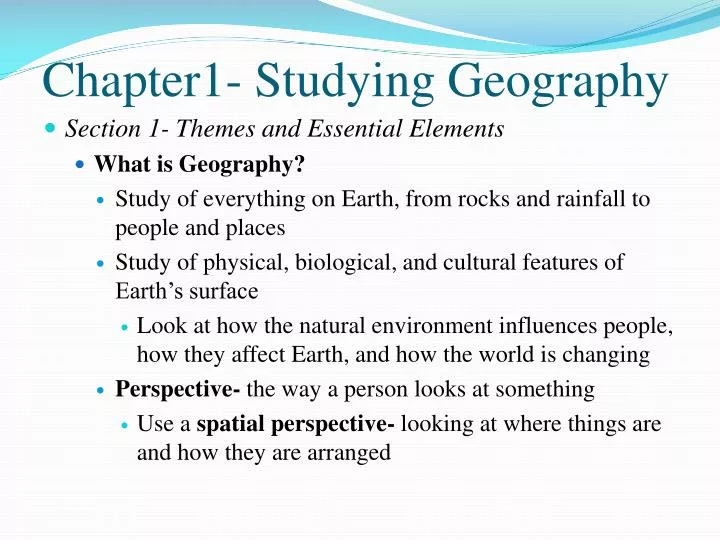
Chapter1- Studying Geography. Section 1- Themes and Essential Elements What is Geography? Study of everything on Earth, from rocks and rainfall to people and places Study of physical, biological, and cultural features of Earth’s surface

E N D
Chapter1- Studying Geography • Section 1- Themes and Essential Elements • What is Geography? • Study of everything on Earth, from rocks and rainfall to people and places • Study of physical, biological, and cultural features of Earth’s surface • Look at how the natural environment influences people, how they affect Earth, and how the world is changing • Perspective- the way a person looks at something • Use a spatial perspective- looking at where things are and how they are arranged
Two main branches: Human and Physical Geography • Human Geography- characteristics of people • How we live, work, way of life
Physical Geography • Focuses on Earth’s natural environments • These include earth’s landforms: water features, atmosphere, animals, plants, soils and the processes that affect them
Who uses Geography? • Everyone, every time we decide where to go and how to get there • Subfields of Geography • Cartography- study of maps and mapmaking • Meteorology- study of weather, forecasting the weather • USGS ( US Geological Survey) • Produces detailed maps of the whole country
How do we study Geography? • Region- is an area with one or more common features that make it different from surrounding areas • Cities, states, countries, and continents • Defined by their physical and human features • Physical features: kinds of climate, river systems, soils, and vegetation • Human features: languages, religions and trade networks
3 Types of Regions • Formal Region- has one or more common features • Based on any feature: population, crops, rainfall, etc • EX. Rocky Mountains, Browerville, United States • Functional Region- places that are linked together as a unit • Organized around a central location • EX. A city transit system, subway system, Airport • Perceptual Region- reflect human feelings and attitudes • EX. Back home, Midwest, The South, Up North
Five Themes of Geography • Location- exact or relative spot • Place- physical and human features of a location
Human environment interaction- ways people and environment interrelate with and affect each other • Movement- how people and things change locations and the effects of these changes
Region- organizes Earth into geographic areas with one or more shared characteristics
Six Essential Elements • The world in spatial terms- use of maps • Places and regions- physical and human features • Physical systems- Earths features • Human Systems- people and their activities • Environment and Society- human actions • The uses of Geography- helps us understand the relationship among people, places, and environments over time
Section 2- Skill building: Using the Geographer’s Tools • The Globe • scale model of the earth • Grid- circle lines going east and west and north and south • Latitude- lines drawn east and west • Measures distance north and south of the equator • Called parallels • Range from 0 (for places on the equator) to 90 N and 90 S for North and South Poles
Longitude- lines drawn North and South • Called meridians • Measure distance east and west of the prime meridian- imaginary line from the North Pole through Greenwich, England to the South Pole • Range from 0 (which are on the prime meridian) to 180 (which is in the mid pacific) • Lines west of the prime meridian are labeled W and east of it labeled E • The intersection of lat/long lines help us find locations
Hemispheres, Continents, and Oceans • Hemispheres- equator divides the globe into halves, north and south • Prime meridian divides into western and eastern hemispheres • Continents: • Earths land surfaces are divided into 7 continents: Africa, Antarctica, Asia, Australia, Europe, North America, and South America • Asia being the largest, Australia being the smallest
Map Projections • Ways of presenting the round earth on a flat map • Always some distortion, because the earth is round • Cylindrical, conic, and flat-plane • Cylindrical Projection- as if a cylinder was wrapped around the globe • Cylinder only touches globe at the equator
Flat-Plane Projection- only touch the globe at one point • Conic Projection- cone placed over the globe • Most accurate around the lines of latitude where it touches
Understanding Map Elements • Distance Scales- help determine real distance • Directional Indicators • Compass rose- shows N, S, E, W • Legends- or map key • Identifies the symbols on a map • Ex. Cities, roads, rivers, etc • Inset Maps- focus on a smaller part of a larger map • Special Purpose Maps • Many different kinds of maps • Climate or Precipitation maps • Population and Economic maps • Elevation and Topographic maps • Climate Graphs and Population Pyramids • Contour Map
Population Graph Population Pyramid Topographic Map