Download
1 / 29
290 likes | 479 Views
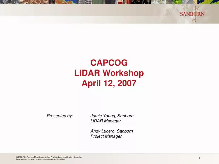
CAPCOG LiDAR Workshop April 12, 2007. Presented by: Jamie Young, Sanborn LiDAR Manager Andy Lucero, Sanborn Project Manager. Presentation Overview. Sanborn Summary LiDAR Background Applications Workshop Open Discussion. Sanborn Overview. Oldest mapping company in the US

E N D
CAPCOGLiDAR WorkshopApril 12, 2007 Presented by: Jamie Young, Sanborn LiDAR Manager Andy Lucero, Sanborn Project Manager
Presentation Overview • Sanborn Summary • LiDAR Background • Applications • Workshop • Open Discussion
Sanborn Overview • Oldest mapping company in the US • Colorado Springs, CO • Full Service GIS Solution • LiDAR • Aerial Photography • Orthophotos • Planimetric/Contour Mapping • ESRI & QCoherent Business Partner • ISO 9001:2000 Certified Company
Texas Experience • 2006 • LCRA • Texas Coastal • CAPCOG • 1996 - 2008 Base Mapping Projects with special projects for: • City of Austin, Round Rock, Williamson Co., San Marcos, Georgetown, Cedar Park, Taylor, Buda, Lockhart, Hutto and Jarrell • 2007 – LiDAR • LCRA, COA, COL, Travis Co, COF • FEMA Compliant • LAS, Intensity Imagery, Breaklines, Contours
LiDARLight Detection and Ranging Aerial GPS (Global Positioning System) Based on GPS satellite triangulation, measures the location of the aircraft up to 0.1 second. Aerial sensor Collects/scans data, eitherphotons (reflected light) or laser pulses IMU (Inertial Measurement Unit) Measures attitude (pitch/yaw/roll) of aircraft every .002 second. Ground GPS Measures the location of the aircraft up to 0.1 second relative to a known ground position
Sanborn Sensor Experience 5 Optech Sensors ranging in repetition rates of 25khz to 50 khz 3 Leica Sensors with repetition rates up to 85khz 3 Propriety systems no longer in production
Contour generation from Filtered Bare Earth LiDAR and LiDAR DEM Generation for Orthorectification Bare Earth Surface Model Contours Contours Draped on Surface Photography draped over LiDAR Data Contours Draped over Orthophotography
Transportation Infrastructure planning and management Ground Based LiDAR of Overpass 1-foot Contours Draped over Digital Image
Bare Earth Generation for county wide mapping Raw Data Bare Earth Data 0.7 meters Rural Collection
Bare Earth Generation for Flood Plain mapping Bare Earth Data Raw LiDAR Data 0.7 meter collection specification
Breakline Generation from intensity images for contours and Flow analysis 2 foot contours and Breaklines draped over 1 meter LiDAR generated Intensity Image
Utility Mapping Classified LiDAR - Ground, Buildings, Vegetation, Tower, and conductors Classified LiDAR profile of Utility Mapping Project Tower, Conductor and vegetation Oblique Of Classified LiDAR
Building Classification for 3-D Modeling Building Surface Model Generated from LiDAR 0.3 Meter Point Density Collection
Forestry and Biomass Applications Bare Earth Surface Vegetation Canopy draped over Bare Earth Surface
HCA and Facility Management Refinery Tank Farm collected at 0.3 meter point density
Emergency Management Applications Taum Sauk Dam, Missouri Google Earth Image prior to Dam break LIDAR Surface Model 28 Hours after Dam break 3-D rendering provided by Leica using Sanborn LiDAR Data Image of Dam Break
Security Management LiDAR of Mile High Stadium LiDAR of Bridge at 0.3 meter collection
Intensity Imagery Intensity Information associated with each point Provides “ortho like imagery” Horizontal accuracy is Based on Point density And re-sampling
Tide Differences • Tide changes • can be edited • out and Water • is then classified • to the water • layer ← Tidal difference ← Tidal difference
Vegetation Mapping and Analysis • Vegetation surface class • Street tree mapping
Building Extraction Morris County, NJ Example
Water Body Classification Lake on Map Lake before classification and elevation averaging ARC Surface Model Lake after classification and elevation averaging
Vegetation Mapping and Analysis • Vegetation surface class • Street tree mapping
Lidar t2 Lidar t1 Lidar Change Detection
Data Accuracy • Vertical accuracy required usually 15-18 cm • Horizontal accuracy required usually 50 cm • Typical vertical accuracy achieved are 9-12 cm • Typical Horizontal accuracy achieved is 23-27 cm • Data meets accuracy specification • BUT DOES NOT…. • Line up between collection areas? • between collection Seasons? • between Different Sensors?
Data Accuracy Separate sensor collection versus check point survey
Thank you! Graphics provided by Leica