Download
1 / 35
360 likes | 593 Views
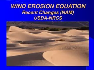
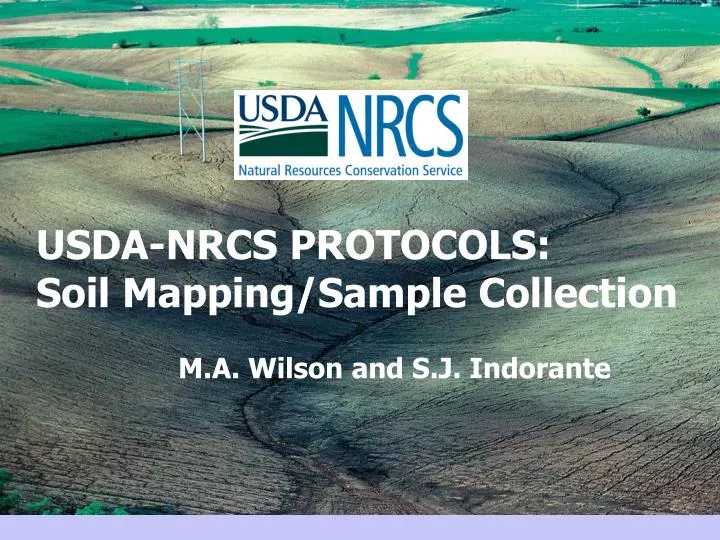
USDA-NRCS PROTOCOLS: Soil Mapping/Sample Collection. M.A. Wilson and S.J. Indorante. OBJECTIVES. To discuss:. Geographic partitioning of soils Scales of data compilation / availability Sample collection protocols. NATIONAL COOPERATIVE SOIL SURVEY.

E N D
USDA-NRCS PROTOCOLS: Soil Mapping/Sample Collection M.A. Wilson and S.J. Indorante
OBJECTIVES To discuss: • Geographic partitioning of soils • Scales of data compilation / availability • Sample collection protocols
NATIONAL COOPERATIVE SOIL SURVEY Determines geographic distribution of soils: • landscape models • maps • map unit/series descriptions • point analytical data • taxonomic classifications • interpretations/predictions
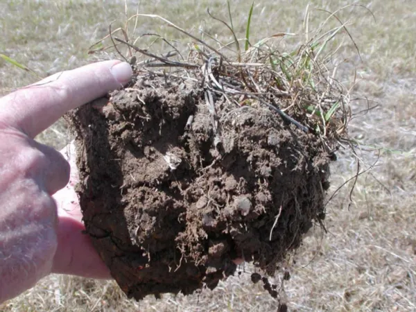
SOIL • A natural body composed of solids, liquids, and gases that occur on the land surface, occupying space, with one or more of the following: • Horizons or layers distinguishable from parent material by pedogenic processes • Ability to support rooted plants in a natural environment
Soil Genesis ModelS = f (CL, O, R, P, T) • Climate • Organisms • Relief • Parent Material • Time Factors interact to create natural bodies on the landscape in a predictable manner
Soil-Landscape Paradigm • In a geographic area, only a small number of repeating soil-landscape units occur • Observable discontinuities exist between conterminous areas of different soil-landscape units
Common Mapping Scales Used in Soil Survey
Mapping Soil Geography Landscape (1:100,000)
Soil-Landscape Units (Landscape Scale)
Mapping Soil Geography Landform and Components (1:25,000)
Soil-Landscape Units (Landform Component Scale)
The Mapped Soils Map Unit Label Mapping Units are the basic units for identifying soil geographic order in a soil survey
Soil Correlation “Natural families of soil delineations that can be interpreted similarly are the ultimate and elusive goal of soil mapping and classification.” (Hudson, 1992) The natural families created are mapping units.
Systematic Variability of Soil Properties • Attributable to a known cause • Gradual or marked change in properties related to landform, geomorphic elements, and soil forming factors. • Distribution patterns must be related to landscapes and geomorphic surfaces for effective soil survey operations. (Wilding and Drees, 1983)
Problems of Scale • Variations in soil properties range from megascopic (physiographic region and landforms) to microscopic in scale. • Relationship between systematic and random variability is likely to be scale dependent. (Upchurch and Edmonds, 1991)
Sample Collection Protocols
PEDON Smallest volume of soil that can be used to describe and sample the soil to represent the landscape unit Minimal horizontal area is 1m2, but can range to 10m2 depending on variability
PEDON • Sampled by NRCS scientists and National Cooperative Soil Survey (NCSS) partners at universities, state, and other federal agencies. • Sites are usually selected to represent a central concept of a soil series.
Soil Taxonomy • Classification system used by the NCSS for identifying and labeling soils in mapping units. • Nomenclature identifies soil properties
Order: Vertisols Suborder: Aquerts Great Group: Epiaquerts Subgroup: Chromic Epiaquerts Family: Very-fine, smectitic, thermic Series: Sharkey
SOIL SERIES • Lowest category in the U.S. System of Soil Taxonomy • Conceptualized class of soil bodies on the earth’s surface • More restrictive limits than higher taxa. • Soil series serve as the means to transfer soil information and research knowledge from one soil area to another.
The Pedon Concept-- Extending limited point data to geographic coverage
Soil Observation and Measurement - Pedon Data A B R C Measurement Observation
Map Based on SSURGO Data
CONCLUSIONS • The National Cooperative Soil Survey uses the model of soil genesis and the soil landscape paradigm to define landform components and soils. • Products include point morphological/analytical data with maps at various scales designed for land-use planning and interpretations.