Download
1 / 26
260 likes | 360 Views
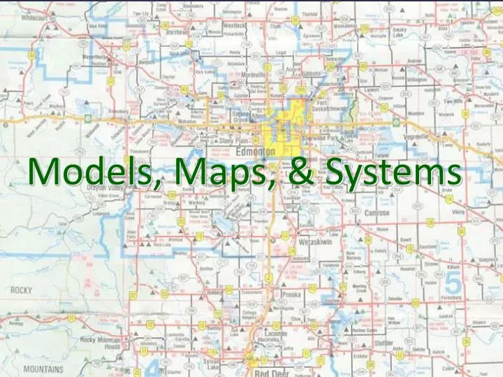
Models, Maps, & Systems. What is a model ? A miniature representation of reality. REALITY. MODEL. Other definitions of “ model ” : - an example for imitation or emulation - a person who poses for an artist - a description or analogy used to help visualize something

E N D
What is a model? • A miniature representation of reality REALITY MODEL Other definitions of “model”: - an example for imitation or emulation - a person who poses for an artist - a description or analogy used to help visualize something - a system of postulates, data, and inferences
71% water, 29% landmass • “Bumpy oblate spheroid” • Bumpy, because of the topography • Oblate, because spinning objects bulge slightly • Spheroid, because that’s what it most resembles! • Cartography, the art and science of map-making, helps us make sense of our world and the things in it. Our World!
Two major characteristics of maps as models: 1. Globe Grid: based upon latitude-longitude coordinates • latitude lines (parallels, 0-90) – decrease in length closer to poles • longitude lines (meridians 0-180) – converge at the poles • scale on Earth’s surface is same everywhere • Note: 180 degrees longitude is NOT the same as the International Date Line! 2. Map Projections: making a flat map of a round surface * All maps distort the globe grid properties Maps as Models (miniature representations of spatial reality)
World Geographic Grid The world geographic grid consists of meridians of longitude and parallels of latitude. The prime meridian (0º) passes through Greenwich, England
I. Planar Projection II. Cylindrical III. Conic Projection (Azimuthal) Projection
http://education.nationalgeographic.com/education/media/selecting-map-projection/?ar_a=1http://education.nationalgeographic.com/education/media/selecting-map-projection/?ar_a=1 • https://www.youtube.com/watch?v=vVX-PrBRtTY Maps are funky.
City of Edmonton Neighborhood in Edmonton Which is the small-scale map?
Reference Maps: simple physical information depicted, general purpose “What is there?” Topography, atlas maps, highway and city maps, etc. Two Types of Maps: Reference Maps & Thematic Maps
Examples of topographic maps (shows elevation through contour lines)
Thematic Maps: more complicated information, such as population or educational level depicted Can be quantitative or qualitative. What’s the difference? How many vs. where Types of Thematic Maps: Choropleth maps– choro(regions) plethora (amount) Dot maps– depicts the level of occurrence Graduated circle maps – circles of different size show magnitude Isometric maps– shows changes by connected lines Cartograms– scale based on statistical data
http://www.nytimes.com/interactive/2009/03/10/us/20090310-immigration-explorer.html?_r=0http://www.nytimes.com/interactive/2009/03/10/us/20090310-immigration-explorer.html?_r=0 Another cool choropleth!
The growth of collegiate soccer Isometric maps!
GIS (Geographic Information Systems): uses powerful computer programs to layer several sets of data • remote sensing: satellites pictures used to layer data GIS & Remote Sensing GIS stores information about a location in several layers
system: a group of interrelated, interdependent, or interacting elements forming a collective entity Systems: Using Maps to Reveal Patterns
mental maps: representations of our own image of the world Mental maps (cognitive maps)