Download
1 / 13
130 likes | 294 Views
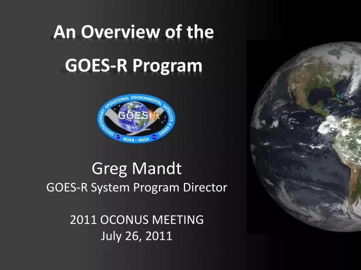
An Overview of the GOES-R Program. Greg Mandt GOES-R System Program Director 2011 OCONUS MEETING July 26, 2011. Continuity of GOES Operational Satellite Program. GOES-R Mission Overview.

E N D
An Overview of theGOES-R Program Greg Mandt GOES-R System Program Director 2011 OCONUS MEETING July 26, 2011
GOES-R Mission Overview GOES-R is the next generation of GOES satellites that will provide a major improvement in quality, quantity, and timeliness of data collected. Earth Pointing In-Situ Sun Pointing Spare Visual & IR Imagery Lightning Mapping Space Weather Monitoring Solar Imaging • Advanced Baseline Imager (ABI) • Geostationary Lightning Mapper (GLM) • Space Environment in-Situ Sensor Suite (SEISS) • Magnetometer • Solar Ultra-Violet Imager (SUVI) • Extreme UV/X-Ray Irradiance Sensors (EXIS) • New and improved capabilities for: • Increased lead times for severe weather warnings • Better storm tracking capabilities • Solar, space weather, and climate analyses • Advanced products for aviation, transportation, commerce
System Design Review complete Launch Readiness Oct. 2015 Spacecraft Spacecraft SDR complete Instruments 5 Instrument contracts underway All instruments have passed CDR Core contract awarded to Harris Corp. Core SRR complete 80% delivery of baseline product algorithms RBU lease awarded Development Integration and Testing
Budget Situation FY10FY11FY12 Last Year $664M $730M $774M Current $641M $662M $615M Impact of Reductions: • Remove Option 1 latency and Option 2 products from Harris contract • Reduce some IT Security features • Move some hardware purchases out of FY12
Ground Segment System Architecture GOES-West 137o West GOES-East 75o West HRIT/EMWIN, GRB BEACONS WAN GEOLUT Wallops, VA WCDAS DCPC LAN DCS SARSAT DCPR RBU Suitland, MD NSOF Fairmont, WV L1b, L0, L2+ GLM,GRB • MM • EM • PG • PD LAN LAN Data Collection Platforms (DCP) • MM • EM • PG (L0, L1B, L2+ GLM, GRB, KPP) • PD L2+ Data and Products Mission Management ProductGeneration DRGS GOES-R PDA Data and Products User Community Enterprise Management DCS Product Distribution
GOES-R Proving Ground • Collaborative effort between the GOES-R Program Office, selected NOAA/ NASA Cooperative Institutes, NWS forecast offices, NCEP National Centers, JCSDA, and NOAA Testbeds. • Where proxy and simulated GOES-R products are tested, evaluated and integrated into operations before the GOES-R launch • A key element of GOES-R User Readiness (Risk Mitigation) • Proving Ground activities are having an impact NOW! Proving Ground Program Update: Jim Gurka– Tue, July 26, 9:15 am
GOES-R Proving Ground UPDATE
Overshooting Top Detection • The GOES-R Overshooting Top Detection (OTD) algorithm identified an overshooting top at NOAA’s Hazardous Weather Testbed with the severe thunderstorm and tornado that in Springfield, MA on June 1, 2011 • The OTD singled out the most intense thunderstorm cell out of a very large storm complex over Southern and Central New England. • At the HWT Experimental Warning Program and Convective Initiation desk the NWS forecasters were alerted to a developing severe storm with 28 minute lead time before the first tornado report. Springfield storm
Lightning Detection with the Geostationary Lightning Mapper (GLM) • A Pseudo GLM (PGLM) total lightning product assisted in a severe thunderstorm warning at NOAA’s Hazardous Weather Testbed on May 12, 2011 in Norman, Oklahoma. A rapid increase of the total lightning rate, along with the forecaster’s interrogation of radar data, led to a severe thunderstorm warning, later verified with several severe hail reports. • The PGLM flash extent density was a useful precursor in identifying when the first cloud-to-ground strikes would occur. The PGLM preceded the first cloud-to-ground strike by approximately 30 minutes. • GLM’s ability to detect in-cloud lightning before the first ground strike provides a valuable early warning indicator to enhance lightning safety • Research using total lightning trends to diagnose severe storm intensification indicates the potential to increase warning lead-time to 20 minutes or more The PGLM flash extent density is on the left with the corresponding radar reflectivity on the right.
Volcanic Ash Products • Chile's Puyehue-CordónCaulle Volcano erupted on June 4, 2011, forming a tall ash plume above the Andes Mountains • The GOES-R Proving Ground provides near real-time volcanic ash retrieval products (using Meteosat SEVIRI data as a proxy for the GOES-R Advanced Baseline Imager) to identify a significant volcanic ash plume emerging over the Atlantic Ocean impacting aviation operations with many cancelled flights. • Similar data was provided by STAR to the London Volcanic Ash Advisory Center (VAAC) during the eruption of Eyjafjallajökull in Iceland in May 2010.
7th GOES Users’ Conference 20-21 October 2011 The WynfreyHotel - Birmingham, AL To be held in conjunction with the 15-20 October 2011 36th National Weather Association Annual Meeting: http://www.nwas.org/meetings/nwa2011 The Wynfrey Hotel http://directreadout.noaa.gov/GUC_VII/index.htm
Thank you! Any ???