Download
1 / 29
290 likes | 430 Views
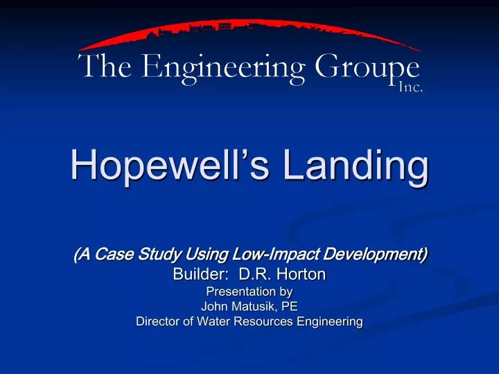
Hopewell’s Landing. (A Case Study Using Low-Impact Development) Builder: D.R. Horton Presentation by John Matusik, PE Director of Water Resources Engineering. Project Location. Western Prince William County Approx. ½ mile north of the Rt. 15 / Rt. 29 intersection;

E N D
Hopewell’s Landing (A Case Study Using Low-Impact Development) Builder: D.R. Horton Presentation by John Matusik, PE Director of Water Resources Engineering
Project Location Western Prince William County Approx. ½ mile north of the Rt. 15 / Rt. 29 intersection; Approx. 3 miles south of Gainesville.
JOHN MARSHALL HWY – S.R. 55 CARVER ROAD OLD CAROLINA ROAD Section2 Section1 LEE HWY – S.R. 29
Site Area • Total Site Area = 92.2 Acres • Zoning: R-10 Cluster (Min. Lot Size 7500 sf) • Avg. Lot Size = 8300 sf
OVERALL SITE LAYOUT Section 1
Low Impact Development LID strategically integrates stormwater controls into multifunctional landscape features where runoff can be micromanaged and controlled at the source
Low Impact Development With LID urban landscape or infrastructure features roof, streets, parking, sidewalks and green space can be designed to be multifunctional, incorporating detention, retention, filtration or runoff use.”
Prince William County SWM Criteria • Reduce post development peak Qs for the 2 & 10 year storm events ≤ pre-development peak Qs @ outfall points from the site • Pollutant removal efficiency must be ≥ 50%, and 80% of site must be treated by a BMP. (Northern Virginia BMP Handbook, by NVPDC and ESI). • 50 ft. setback from SWM facilities to houses
Hopewell’s Landing • Section 1 LID achieved by reducing impervious area, & incorporating rain gardens on lots. • Section 2 uses conventional SWM/BMP facilities (Retention/Wet Ponds).
Preliminary Design Considerations • Wetlands – Avoidance, Mitigation, Permitting • Rain Gardens design objective is to • retain same amount of rainfall depth within developed site as that retained by woods in good condition and • then gradually release the excess runoff as woodlands would release it.
Preliminary Design Considerations • Design Storm for Bioretention Areas • Compute rainfall depth outlined in Prince Georges Co. LID Manual • Compare the LID design storm with 1-yr 24-hr SCS design storm. Use greater of the two values. • However, meetings with DCR/PWC resulted in using the 2-yr 24-hr rainfall
Preliminary Design Considerations • Coordination with VDOT • Introduce LID concepts • Treating R/W runoff with facilities on private property • No bioretention facilities in R/W • Minimum ditch slopes of 1% was acceptable
Preliminary Design Considerations • Coordination with Prince William County • Reduce street and R/W widths (28 ft.à26 ft. & 36 ft.à30 ft.) • Reduced radius for cul-de-sacs (45 ft. à40 ft.) • Ditch-section street v. curb & gutter • Sidewalks only on 1 side of the street • Reduced driveway widths with acceptable min. slopes & pavers (client opted not to use this)
Preliminary Design Considerations • Coordination with Prince William County • SWM facilities (Rain Gardens) on private property • Reduce building setbacks to SWM facilities from 50 ft. to 10 ft. • Allow drainage swales on lots to carry runoff from more than 1 ac. • Maintenance Responsibility • Private Homeowner / HOA / PWC
Final Design • Design Source: Low Impact Design Strategies, An Integrated Design Approach Dept. of Environmental Resources, Prince Georges County, MD • LID facility design is structured with the intention that increased runoff volume OR peak rate, whichever is greater, is retained and infiltrated.
Final Design • For each DA corresponding to an outfall point at the site boundary • Post Development Tc≤ Pre-Development Tc • Use Post Development CN and Pre-development CN to estimate storage volume to maintain Pre-Development Runoff Volume
Final Design • Adjust storage volume to account for water quality volume (= ½ rainfall from impervious surfaces) • Determine storage volume for maintaining peak runoff rate • Increase storage volume if retention storage volume < storage volume required for peak rate control • Locate and size the bioretention areas to accommodate computed volume (Ponding depth & area)
Final Design • Establish Landscaping details • Ponded depth with allowance for overflow • Plant schedule includes trees, shrubs and groundcover • Non-concentrated inflow with low velocity • Appropriate soil mix (amended soils may be needed)
Final Design • Establish access easements without excessive lot encumbrance • Establish and ensure maintenance • Homeowners responsible for minor routine maintenance; weeding, trimming, mulching • HOA responsible for common area bioretention facilities • County responsible for everything else
10’ Min Easements
Lessons Learned • LID techniques challenge conventional SWM thinking (source control v. hydrologic micro-management) • Appropriate regulations with all agencies (or flexibility for waivers or relaxing regulations) • Integrate LID techniques at outset of the project (Not as an afterthought)
Lessons Learned • Obtain detailed soils information during preliminary site plan (Added cost not always palatable to client) • SFD plans require additional attention to site grading details. • Easements and Access • Maintenance responsibilities specifically for homeowners and HOAs • Eliminate 2 (maybe 3) conventional SWM ponds (increase # of lots by 7-10)
Summary • If implemented appropriately, LID can be an effective method for mitigating detrimental hydrologic impacts from development • LID may not be cost-effective for all sites or all projects • Requires cooperation with review agencies at all levels
Questions or Comments