Download
1 / 41
410 likes | 515 Views
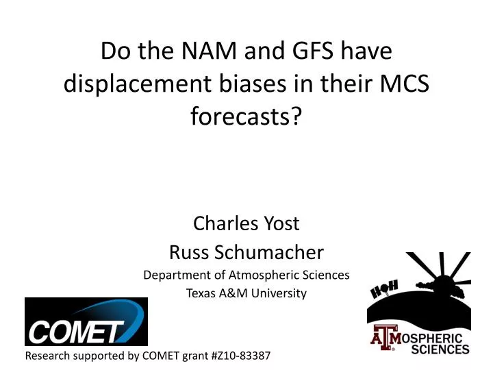
Do the NAM and GFS have displacement biases in their MCS forecasts?. Charles Yost Russ Schumacher Department of Atmospheric Sciences Texas A&M University. Research supported by COMET grant #Z10-83387. Outline. Brief Background Data and Methodology Results Case Studies Future Work.

E N D
Do the NAM and GFS have displacement biases in their MCS forecasts? Charles Yost Russ Schumacher Department of Atmospheric Sciences Texas A&M University Research supported by COMET grant #Z10-83387
Outline • Brief Background • Data and Methodology • Results • Case Studies • Future Work
Background • Mesoscale Convective Systems (MCSs) are responsible for a large percentage of rain during the warm season • Researchers and forecasters noticed the NAM and GFS consistently predicted these events too far north • HPC and Texas A&M University collaborated to investigate
Cases • Searched April through August of 2009 and 2010 using • Radar to identify MCSs • Stage IV to analyze amounts • 29 unique 6 hour intervals • Ranging from April 13 to August 18 • Several cases outside of initial time frame
Data • Stage IV • 6 hourly multi-sensor precipitation analyses • North American Mesoscale Model • 0Z and 12Z model runs • 6 hourly precipitation forecast • Global Forecast System Model • 0Z and 12 Z model runs • 6 hourly precipitation forecast
Methodology • “Eyeball” Test • Method for Object-Based Diagnostic Evaluation (MODE)
Note on terminology • 1st Forecast: most recent model forecast • 2nd Forecast: second most recent forecast • 3rd Forecast: third most recent forecast • Example: 6Z to 12Z • 1st Fore: 0Z – 6 to 12hr • 2nd Fore: 12Z (previous day) – 18 to 24hr • 3rd Fore: 0Z (previous day) – 30 to 36hr • Note: 0Z and 12Z are 12 hour forecasts, 6Z and 18Z are 6 hour forecasts
Method for Object-Based Diagnostic Evaluation Tool (MODE) • Resolves objects in observed and forecasted fields • Provides detailed information about the objects • Centroid location, object area, length, width • Axis angle, aspect ratio, curvature, intensity • Can pair observed and forecasted objects
Process for Resolving Objects Davis, C., B. Brown, and R. Bullock, 2006a: Object-based verifica- tion of precipitation forecasts. Part I: Methods and application to mesoscale rain areas. Mon. Wea. Rev., 134, 1772–1784.
MODE Tool Settings • GFS was re-gridded to the 212 grid. NAM remained at the 218 grid • Stage IV was regridded to the corresponding forecast’s grid • Radii and thresholds were selected to match what a human would draw
MODE Tool Output • Fields used: • Centroid (center of mass) • Area • Length • Width • Determine forecast error: “Forecast – Observed”
Forecasting Questions • Is there a correlation between forecast error (distance) and forecast area? • Is there a correlation between forecast error (distance) and forecast width? • Is there a correlation between forecast error (distance) and forecast length?
Conclusions • “Eyeball” test and MODE test are consistent with each other • Clear northern bias in the NAM • 84% of cases • No temporal bias • GFS northern bias present, not as strong • 72% of cases • Tends to move system through early (65%) • No clear bias with area, width, or length
Future Work • Expand the time period to include more years and cases • Does this bias exist in higher resolutions? • NSSL WRF • What are the causes of this bias?