Download
1 / 25
250 likes | 375 Views
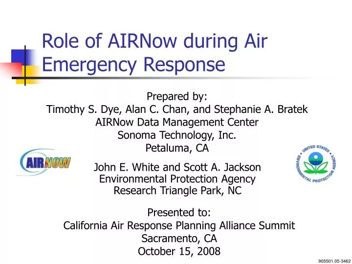
Role of AIRNow during Air Emergency Response. Prepared by: Timothy S. Dye, Alan C. Chan, and Stephanie A. Bratek AIRNow Data Management Center Sonoma Technology, Inc. Petaluma, CA. John E. White and Scott A. Jackson Environmental Protection Agency Research Triangle Park, NC. Presented to:

E N D
Role of AIRNow during Air Emergency Response Prepared by: Timothy S. Dye, Alan C. Chan, and Stephanie A. Bratek AIRNow Data Management Center Sonoma Technology, Inc. Petaluma, CA John E. White and Scott A. Jackson Environmental Protection Agency Research Triangle Park, NC Presented to: California Air Response Planning Alliance Summit Sacramento, CA October 15, 2008 905501.05-3462
Outline • Overview of AIRNow • AIRNow Community • Data Flow • AIRNow Tools • Use of AIRNow during wildfires • Contact and Resources
Overview of AIRNow • AIRNow provides a common framework for acquiring and distributing air quality information • Foster community effort among Federal, State, Local and Tribal air quality agencies (120+) • Collect, quality assure, and transfer real-time and forecasted air quality information to the public • Communicate air quality via the Air Quality Index (AQI) • Issue weather/air quality news stories • Partner with national media • Provide air quality education and outreach
AIRNow Tools (1 of 5) • AIRNow.gov • Current ozone and PM2.5 maps • Air quality news stories • Archived air quality maps • Air quality forecast display • NOAA ozone forecast model
AIRNow Tools (2 of 5) AIRNowGateway.org • An alternate way to access AIRNow data • Products include • text files with hourly and daily air quality values, forecasts, and location information • web service queries (XML) that can be viewed by various applications
AIRNow Tools (3 of 5) Enviroflash.info EPA’s free email system that automatically sends an AQI forecast notice to subscribers at health levels they select. (more information on airnow.gov)
AIRNow Tools (4 of 5) AIRShare.info A resource for Air Quality Communicators to share outreach materials
AIRNow Tools (5 of 5) AIRNowTech.org • Decision Support System: management and analysis tool for the AIRNow program • GIS functions - HYSPLIT trajectory tool, satellite and smoke products • Data queries, personalized tools, preferences, and services • Ability to view meteorological and air quality data HMS smoke plumes with forward HYSPLIT trajectories
July 9, 2008 – Northern California • July 9th: 19 active fire complexes in N. California • July 8th: AQI for PM2.5 =161
July 9, 2008 11 a.m. PST Hourly PM2.5 concentrations in µg/m³
July 9, 2008 11 a.m. PST Hourly PM2.5 concentrations in µg/m³ = Mobile Monitors
July 9, 2008 11 a.m. PST Hourly PM2.5 concentrations in µg/m³
July 10, 2008 11 a.m. PST Hourly PM2.5 concentrations in µg/m³
Resources • AIRNow.gov – public resource • AIRNow-Tech.org – decision support system (password required) • AIRNowGateway.org – data resources, web services, etc. • AirShare.info – public outreach/education information
Contact and Resources • John White, white.johne@epa.gov • Scott Jackson, jackson.scott@epa.gov • Tim Dye, dye.tim@epa.gov • Alan Chan, chan.alan@epa.gov • AIRNow Data Management Center • AIRNowDMC@sonomatech.com • 707-665-9900