Download
1 / 17
190 likes | 311 Views
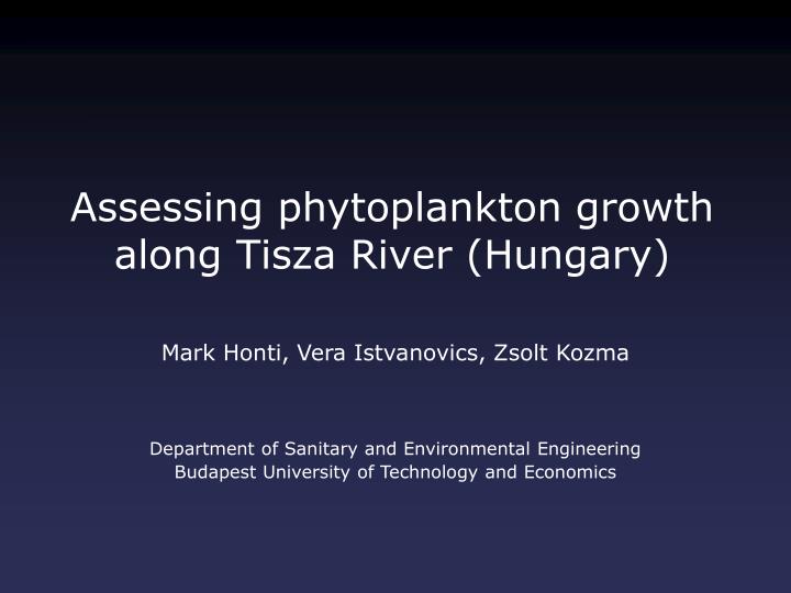
Assessing phytoplankton growth along Tisza River (Hungary). Mark Honti, Vera Istvanovics, Zsolt Kozma. Department of Sanitary and Environmental Engineering Budapest University of Technology and Economics. Study Location: River Tisza. Measurement cruise on the Hungarian section.

E N D
Assessing phytoplankton growth along Tisza River (Hungary) Mark Honti, Vera Istvanovics, Zsolt Kozma Department of Sanitary and Environmental Engineering Budapest University of Technology and Economics
Study Location: River Tisza Measurement cruise on the Hungarian section Start / End: 703 rkm Kisköre Dam: 403 rkm Return: 167 rkm
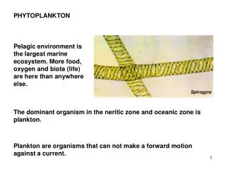
Aim: Detection of Growth Zones • Locations where the net growth rate of phytoplankton is systematically positive • Hypothesized “dead” or “retention” zones should serve as recruitment sources for phytoplankton • Must separate in-flow processes from impacts bound to a specific location • Availablemethods: • Water Parcel Study • (Simultaneous high frequency monitoring at various locations) • We used a downstream-upstream cruise with high freq. monitoring
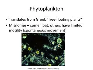
High Frequency Phytoplankton Data • Recorded with a Delayed Fluorescence spectroscope (for methodology see: Istvanovics & Honti) • Measuring interval: 5 min ≈ 900 m along river Upstream cruise BM [mg Chl-a m-3] Downstream cruise Location [rkm]
Assuming Permanent Hydraulics and Concentrations Upstream Net growth rate [d-1] Position [river km] Downstream Paradox and impossible growth rates: unsteady conditions rule
Mass Transport in River • 1D hydraulic model (Kozma & Koncsos): velocity field (v) • Transport equation (1D advection-dispersion): • Exclusion of the longitudinal dispersion (Dx), since that assumes the knowledge of a complete initial state. Hydraulic modeling is always required to specify travel times (even with multiple measurement sites or a water parcel study).
Space-Time Diagram Kisköre dam [403 rkm] Time [date] Space [river km]
Ship Route Upstream route Time [date] Downstream route Space [river km]
Useful Water Parcels Measured 3x Time [date] Measured 2x crosses dam Space [river km]
Estimation of Growth Rate Biomass change in ‘useful’ water parcels BM1 @ x1 BM2 @ x2 Estimation of Gnet for the covered track Reduction of errors E from BM measurement E from hydrodynamic model Resolution of overlapping estimates Weighted average
Reduction of Errors Dispersion would lower the peaks and rise the valleys in the concentration curve as water travels downstream. (Not solved)
Estimated Growth Rates Around Kisköre dam Maros plume Below Szamos Gnet [d-1] river km Kisköre dam represents great hydraulic uncertainty.
Estimated Growth Rates Excluding tracks crossing the dam Maros plume Below Kisköre dam Below Szamos Gnet [d-1] river km
Notes on Growth Rates • A significant amount of data does not belong to “useful” water parcels (coverage may be weak somewhere). • The resolving algorithm seeks for growth bound to specific locations (transient in-flow growth may be suppressed). • The estimations are valid for the covered periods only. • Dispersion was omitted, which may decrease growth rates. • There were only 3 detected growth zones.
Min/Max Growth Rates Excluding tracks crossing the dam Gnet [d-1] river km Temporary in-flow growth almost everywhere possible.
Growth Rates and River Morphology RS [-] Sand banks River sinuosity Average Gnet [d-1], sand banks [rkm-1] Avg. Gnet
Conclusions • Phytoplankton decayed along the River Tisza in July, 2006. • “Dead” or “retention” zones could not significantly increase the concentration of phytoplankton. • The few growth zones were located at high turbulence sections with complex morphology. • River cruise coupled with hydraulic modeling is useful to estimate the net growth rate of phytoplankton. • But the calculation method is very sensitive to the velocity field, the measurement frequency and the cruise schedule.