Download
1 / 47
480 likes | 663 Views
Oaxaca Overview. Oaxaca. Diverse Physical and Cultural Geographies Benito Juarez Tourism Maiz Gueleguetza. Southern Highlands. Part of Casagrande ’ s Southern Mexico and Kaplan ’ s Mex-Central America. Also, part of “ Mexico Profundo ’

E N D
Oaxaca • Diverse Physical and Cultural Geographies • Benito Juarez • Tourism • Maiz • Gueleguetza
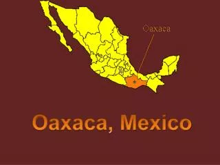
Southern Highlands • Part of Casagrande’s Southern Mexico and Kaplan’s Mex-Central America. • Also, part of “Mexico Profundo’ • The Southern Highlands are south of Mexico’s “Core Region”. Separated from the Valley of Mexico by the rugged Sierra Madre del Sur (Neo Volcanic Axis) • Includes most of Oaxaca, Guerrero, and the coastal lowlands of Michoacan. • High relief area with cool highlands, steep dry Pacific coast escarpment • Valley of Oaxaca is the only large level area in this region • Difficult terrain, poor, overworked soils • Most-poverty stricken areas of Mexico • High indigenous population • Twelve major indigenous languages • 35-40 dialects • Zapotec and Mixtec are largest indigenous groups
This map gives some idea of Oaxaca’s rugged topography. In my article you read about Tiltepec which is, north of Ixtlan.
The Zapotec village of Tiltepec, the setting of my article. A large share of Oaxaca’s indigenous inhabitants live in isolated villages in the state’s many highland regions. For them migration is motivated by a desire to do something other than subsistence agriculture. That leads migrants first to Oaxaca City, and then to Mexico City. However, as you will learn in the article by Van Wey, Tucker and Mc’Connell, migration from these villages to the US has grown during the past 3 decades.
Oaxaca’s Pacific coastline where resort tourism like you find from Acapulco and north is absent. Oaxaca’s beach landscape is similar to what you see in the movie Y Tu Mama Tambien.
One of Oaxaca’s interior valleys where most of the population live.
This map demonstrates how southern Mexico is indigenous Mexico. Each dot represents 1000 persons who spoke an indigenous language as their first language in 1970.
Zapotec Cuicatec Chinantec Nahua Chatino Mazatec Huave Chontal de Oaxaca Mixtec Ixcatec Zoque Amuzgo Chocho Mixe A map of Oaxaca’s language regions. The Zapotec region is represented in faded yellow.
Benito Juarez was a native of a small Zapotec village in Oaxaca. He became the first indigenous president in Latin America in the mid 19th century. Juarez’ hometown, Guelatao.
Archaeological site, Monte Alban. An early Zapotec capital that they inhabited from approximately 500 years BC until 750 AD. Monte Alban is a short bus ride from Oaxaca City and a major draw for tourists.
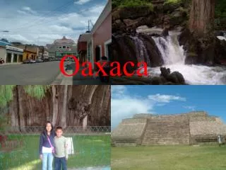
Oaxaca City. Oaxaca City sits in one of Oaxaca’s interior valleys at an elevation of 1550 meters. This provides for a temperate climate. The city has preserved much of colonial architecture including churches. The combination of climate, colonial architecture and archaeological sites make Oaxaca one of Mexico’s primary interior tourist destinations.
Oaxaca from above. Oaxaca City is a colonial settlement, which does not efficiently accommodate automobile traffic.
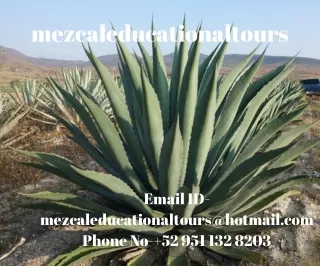
Oaxaca is also know for its high quality mezcal, derived from the Maguey cacti.
In the foreground is Mitla, a site that was built by the Zapotecs beginning ~200 AD and inhabited by them until 900 AD. At the time of the conquest, the Mixtecs occupied the site. In the background is a colonial church built upon part of the original Zapotec site. Mitla is only about a 45-minute bus ride from Oaxaca City.
This slide from Mitla shows how the past and present are so apparent in the landscape. Grafitti from post-2000 Pre-Columbian wall
What’s this? Nope, it’s not a concert stage or bullfighting ring. It’s Oaxaca’s dance stadium on Cerro Fortin where the annual Guelaguetza is held. The Guelagetza is a celebration of regional folk dance. Held in July, dance troupes from indigenous villages throughout the state descend on Oaxaca City to demonstrate their traditional dances. This is yet another of Oaxaca’s tourist attractions.
Guelaguetza has become such a large event that Ticketmaster handles ticket sales.
Cochineal are the insects that Mesoamericans raised in prickly pear cactus plantations.