Download
1 / 6
60 likes | 127 Views
Explore different map types such as political, physical, topographic, and thematic maps along with latitude, longitude, oceans, and continents of the world. Learn how scales and legends work in map reading.

E N D
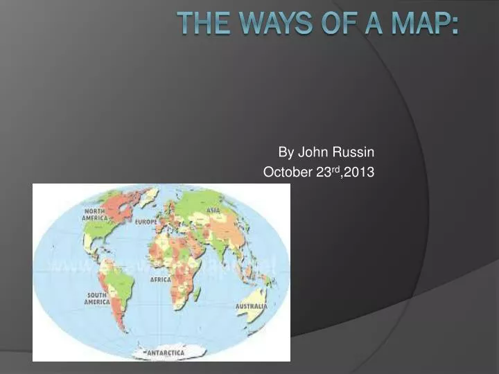
By John Russin October 23rd,2013 The ways of a map:
Map types • Political map: state and national boundaries, along with the location of cities. • Physical map: shows mountains ,rivers, and lakes and uses different colors to show elevation. • Topographic map: has contour lines instead of colors to show elevation.
Othermaps • Climate map: shows weather of an area and climate zones. Economic or Resource map : specific type of natural resources in an area. • Thematic map : focuses on a special topic or specific theme. • Road map : shows major and minor highways and roads
Latitude and Longitude • Latitude is imaginary lines that run East and West. :Longitude-Lines that run North to South.
What is a scale? • A scale is something that measures the distance between two distances on a map.This is an example of a map scale.
Oceans and continents of the world • The four oceans in the world are the Atlantic , Pacific , The Arctic and the Indian. • The seven continents in the world are North America , South America , Antarctica , Europe , Africa , Asia , and Australia.