Download
1 / 5
50 likes | 204 Views
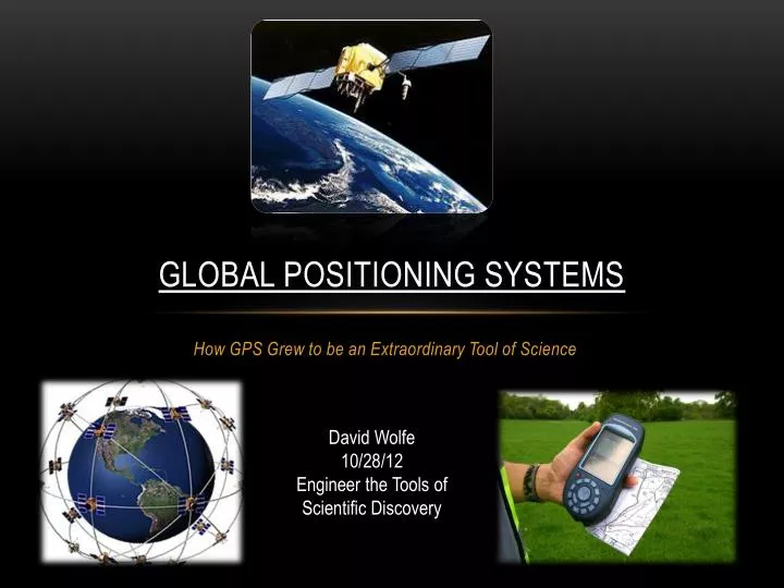
Global Positioning Systems. How GPS Grew to be an Extraordinary Tool of Science. David Wolfe 10/28/12 Engineer the Tools of Scientific Discovery. History of the GPS. Before people had the use of GPS at the tip of their fingers, people found other ways to navigate themselves:

E N D
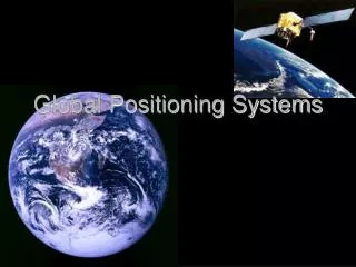
Global Positioning Systems How GPS Grew to be an Extraordinary Tool of Science David Wolfe 10/28/12 Engineer the Tools of Scientific Discovery
History of the GPS • Before people had the use of GPS at the tip of their fingers, people found other ways to navigate themselves: • Sextant: Used by measuring the angle of the sun, stars, and planets along with the exact time to measure relative position. • TRANSIT Satellite: Used by measuring the Doppler shift of the satellite signal, this device was the first crude GPS system with the capability of measuring within 200 meters. • In the 1960’s, the U.S. Navy and Air Force worked on several systems that would allow for better navigation of their ships and personnel. • The Air Force would eventually take control of the program and would eventually call it the Navstar Global Positioning System (later being shortened to just GPS). • Other nations like the soviet union at the time were also trying to create similar systems.
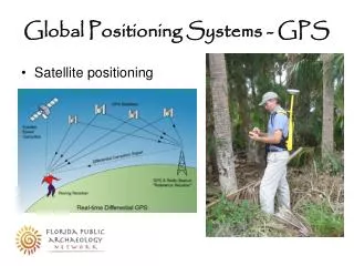
How GPS works • GPS relies on several systems: • Atomic Clocks (for accuracy) • A “Constellation” of Satellites • Satellite Signals • GPS Receivers • Distance and Time Measurements • Each satellite transmits its location and the current time it has locally. • The receiver picks up this information from as many satellites as possible. • Measuring the time it takes for the signal to reach the receiver, they can measure the distance the receiver is from that specific satellite. • Using math, trigonometry, and at least 3 satellite signals with their relative positions, the receiver can calculate where it is with reference to the “constellation” of satellites.
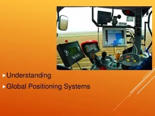
Real-world Application of GPS Street Snowplow Trucks • It may seem small, but statistics show that more snow trucks than you think get into accidents, not with cars, but with the snow itself. • During heavy storms it is very hard for the driver to stay on track with the road. • Using precise GPS, the driver can be confident with his driving and stay on track to clear the road. • Precise GPS involves not only using the surprising accuracy of the satellites, but local cell towers on the ground as well to get accuracy readings of centimeters. • This helps keep the driver safer as well as the people about to drive on the road.
Works cited "Before GPS." GPS: A New Constellation. National Air and Space Museum, 1998. Web. 29 Oct. 2012. <http://airandspace.si.edu/exhibitions/gps/before.html>. "GPS Resources." Global Positioning System. University of Minnesota, 2004. Web. 29 Oct. 2012. <http://www.its.umn.edu/Education/k12outreach/modules/GPS/gpsresources.html> "The GPS Revolution." GPS: A New Constellation. National Air and Space Museum, 1998. Web. 29 Oct. 2012. <http://airandspace.si.edu/exhibitions/gps/revolution.html>. Guo, Bo, Allen D. Poling, and Mark J. Poppe. "GIS/GPS in Transportation, Real World Experiences." GIS/GPS in Transportation, Real World Experiences. N.p., n.d. Web. 29 Oct. 2012. <http://proceedings.esri.com/library/userconf/proc95/to250/p249.html>. "How Does GPS Work?" GPS: A New Constellation. National Air and Space Museum, 1998. Web. 29 Oct. 2012. <http://airandspace.si.edu/exhibitions/gps/work.html>.