Download
1 / 10
110 likes | 342 Views
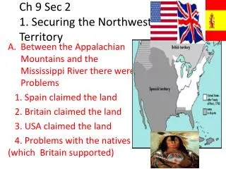
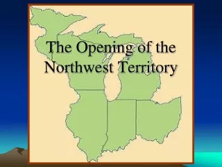
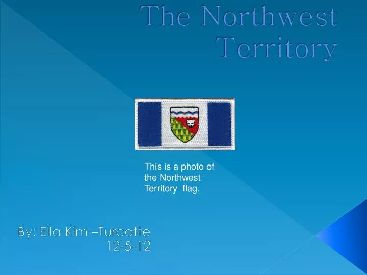
The Northwest Territory. By: Ella Kim –Turcotte 12-5-12. This is a photo of the Northwest Territory flag. Borders . To the north: Arctic Sea To the south: Alberta To the east: Nunavut Territory. To the west: Yukon Territory . These are pictures of the map of Canada. Geography .

E N D
The Northwest Territory By: Ella Kim –Turcotte 12-5-12 This is a photo of the Northwest Territory flag.
Borders To the north: Arctic Sea To the south: Alberta To the east: Nunavut Territory. To the west: Yukon Territory These are pictures of the map of Canada.
Geography The land is like: Snowy , treeless tundra. Mostly mosses and lichen grow here. Strong winds and cold temperatures means That only tough animals like bears ,wolves ,and Caribou can live in. This is what tundra looks like.
Major Cities Capital city: Yellow Knife Major city: Hay River This is a picture taken in Yellow Knife.
People • Population:42,500 might be larger know • Major religion : Roman Catholics • Major language spoken: English This is a photo of native people from the Northwest Territory.
Natural Resources and Industry Natural resources found: Oil, natural gas Industry/ manufacturing are important: Diamond mining, This is a photo of diamonds.
History Native American groups first settled: Chipewyan European groups further explored : The British This is a picture of a teepee under the Northern Lights
Interesting Facts • interesting facts I discovered: 1. The territorial bird Is the Gyrfalcon 2. In Yellow Knife You can pick up one of the world’s oldest rock. This is a photo of the Northern lights.
Bibliography “Canada” November 09, 2010 http://www.worldatlas.com/webimage/countrys/namerica/ca.htm “Canada” November 12, 2010 http://go.hrw.com/atlas/norm_htm/canada.htm