Download
1 / 17
180 likes | 346 Views
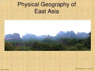
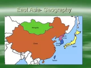
The Physical Geography of East Asia. 26-1 The Land Coach Green ’ s World Geography Class. CHINA. Biggest Country of Region, 80 % of total land area of the region Has the world ’ s largest population for a country, 1.3 billion 3 rd largest country in landmass behind only Russia and Canada.

E N D
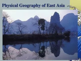
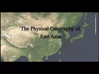
The Physical Geography of East Asia 26-1 The Land Coach Green’s World Geography Class
CHINA Biggest Country of Region, 80 % of total land area of the region Has the world’s largest population for a country, 1.3 billion 3rd largest country in landmass behind only Russia and Canada
Mongolia North of China 13 % of the region’s landmass Has 1 % of the population of China One of the most sparsely populated countries in the world
The Rest of East Asia North Korea South Korea Taiwan Japan
Peninsulas and Seas Pennisula’s and Islands dot the East Coast South China Sea, East China Sea, Yellow Sea, and Sea of Japan The Korean Peninsula separates the Sea of Japan and the Yellow Sea
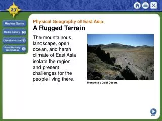
Ring of Fire Circle of Volcanoes bordering the Pacific Ocean Plate movements cause frequent earthquakes and volcanic eruptions More than 1,000 little earthquakes shake Japan annually Tsunami- strong underground earthquake generates a huge tidal wave http://www.youtube.com/watch?v=qZwUG7gNH1A&feature=related
Mountains, Lowlands, and Highlands • Mountain ranges and highlands mark the interior of the region • These areas are sparsely populated and have formed barriers between people and ideas • The only lowland areas of the region are the Manchurian Plain and the North China Plain
East Asian Mountains Pamirsof West China include Tian Shan and Kunlun Shan Altay Mountains - border between Mongolia and China Himalayas separate China and South Asia Ling Mountains cross central China from West to East Changbai Mountains extend from Manchurai to North Korea
China’s Plateaus, Basins, and Deserts Plateau of Tibet – Plateau of Xizang
China’s Plateaus, Basins, and Deserts Taklimakan Desert Gobi Desert
River Systems East Asia’s rivers serve densely populated urban centers as transport routes. They provided hydroelectric power for energy, and the fertile soil in their basins is used for farming
The Yellow River of China Called Yellow because of Loess North China Plain + Yellow River = Wheat
Yangtze RiverAsia’s Longest River (3,695 Miles)Major Agriculture Area of Rice / Grains