Download
1 / 6
90 likes | 544 Views
3D City Modelling using conventional surveying methods. The biggest advantage of the 3D model is its mobility and availability. 3D Models - presentation Applications Capture techniques Case study. 3D Models - Introduction. 3D Wireframe 3D Solid 3D Photo Model. 3D Models - Applications.

E N D
3D City Modelling using conventional surveying methods • The biggest advantage of the 3D model is its mobility and availability 3D Models - presentation Applications Capture techniques Case study
3D Models - Introduction • 3D Wireframe • 3D Solid • 3D Photo Model
3D Models - Applications • archaeological researches: investigate the topography, the visibility and the accessibility, monitoring the schedule of researches and discoveries; • urban planning and architecture: elevations, engineering sections and visualisations can be extracted and generated using real survey data used to generate accurate 3D models; • security and surveillance: it is much easier to detect and find black spots into a surveillance system using 3D models; • virtual tourism: dynamic and static views can be created and serve as illustrations in publications or web sites; internet presentations and flythrough visualisations can be made and presented as well; • advertising and marketing: everybody likes to promote their business using unusual means, so using visualisation impact is always a great method; • operational planning for rescue services and transport management by setting up information systems based on 3D maps; • simulation: by using accurate surveying methods, the 3D model can easily be used for simulations of storage, design and possible implementation of the created model into real world.
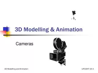
Capture techniques • Terrestrial, such as • Active 3D or range capture using laser scanners; • Photogrammetric method provides exact and definite interpretation results; • Geometric modelling by a CAD modeller based on surveying data, existing engineering diagrams and drawings such as floor plans. • Aerial, such as: • Aerial photogrammetry (automatic extraction of buildings) • Aerial laser scanning ( extract buildings from discontinuities in height model)
Case study Initial map vs Final 3D survey
3D Modelling SketchUp imports DXF from N4ce Final 3D model inSketchUp