Download
1 / 12
120 likes | 145 Views
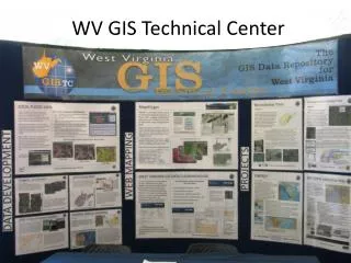
Explore current GIS projects at the USGS Water Science Center in Charleston, WV, including FEMA DFIRM projects, Berkeley County drainage analysis, Leetown groundwater modeling, and drainage basin statistics generation for various studies. Find out how Streamstats features provide estimates of streamflow statistics and more. Assistance available for data-collection stations.

E N D
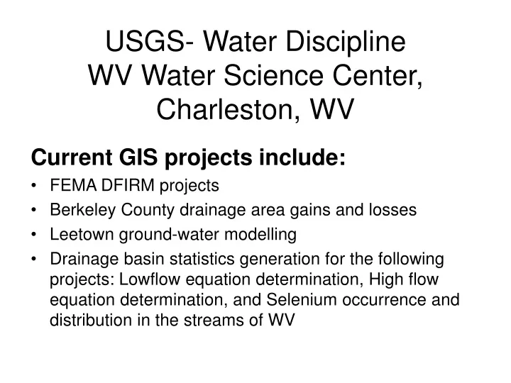
USGS- Water DisciplineWV Water Science Center, Charleston, WV Current GIS projects include: • FEMA DFIRM projects • Berkeley County drainage area gains and losses • Leetown ground-water modelling • Drainage basin statistics generation for the following projects: Lowflow equation determination, High flow equation determination, and Selenium occurrence and distribution in the streams of WV
Streamstats features • Provides estimates of streamflow statistics, basin and climatic characteristics, and other information for user-selected points on ungaged streams • Automatically measures basin and climatic characteristics for ungaged sites using GIS • Provides published streamflow statistics, basin and climatic characteristics, and other information for data-collection stations