Download
1 / 16
170 likes | 187 Views
Learn about the Rapid Disturbance Assessment and Services (RDAS) program provided by USDA Forest Service, including remote sensing support, fire-related geospatial technology, and post-fire assessment services. Explore satellite data acquisition, burn severity mapping, and prediction services.

E N D
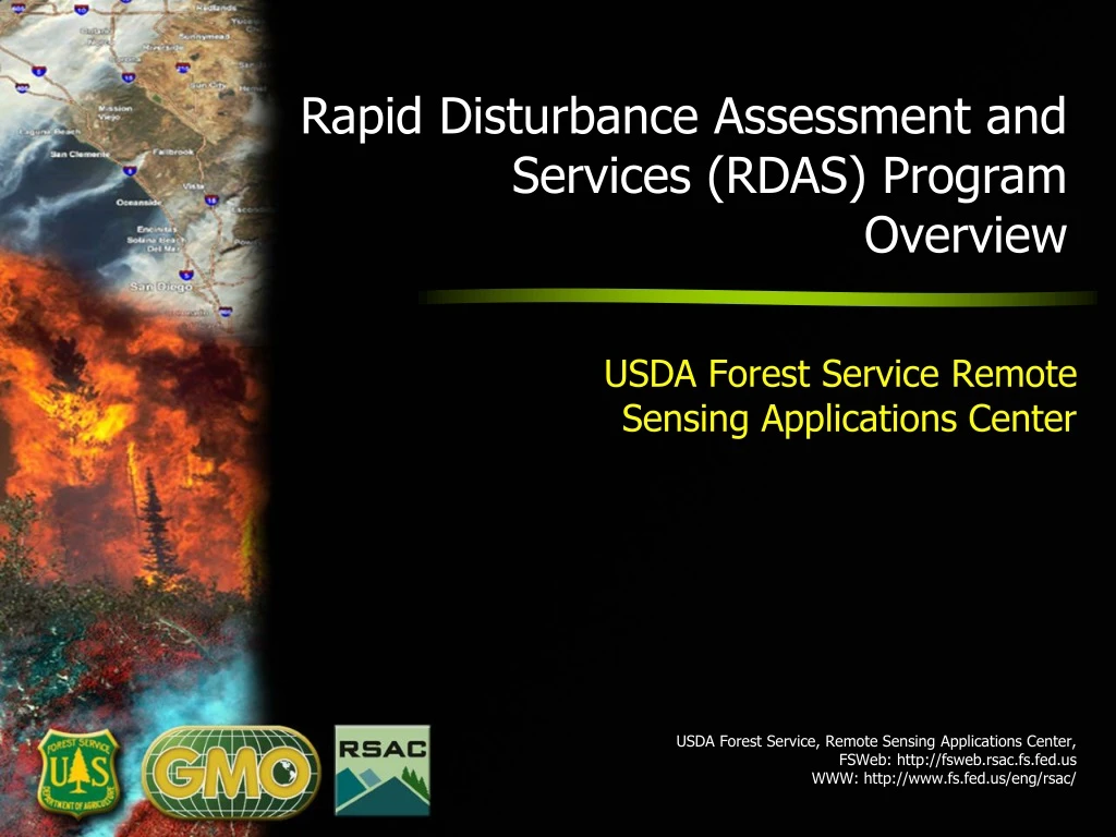
Rapid Disturbance Assessment and Services (RDAS) Program Overview USDA Forest Service Remote Sensing Applications Center USDA Forest Service, Remote Sensing Applications Center, FSWeb: http://fsweb.rsac.fs.fed.us WWW: http://www.fs.fed.us/eng/rsac/
Rapid Disturbance Assessment and Services (RDAS) Program • Tactical and strategic remote sensing support in response to disturbance events • “Rapid” depends on the context (hours to months) • Disturbance events: wildfires, Wx events, floods, etc. • Support provided to Forest Service units and external agency partners • Current program activities include: • Remote sensing-based rapid event detection and mapping • Post-event condition assessment • Disturbance data analysis • Disturbance information management and distribution • Long-term support to incident management teams
RSAC Fire Support Programs and Services Remote sensing/geospatial support to the Forest Service and other agencies for all phases of fire management Preparedness Fire risk assessment and fire intelligence Detection and Response Strategic and tactical fire detection, monitoring & mapping, and incident support Post-Fire Assessment Incident burn severity mapping & characterization
Additional RDAS Activities • Satellite Data Acquisition/Processing Operations • Direct readout ground station operations • High volume data processing • Technology Development and Implementation • Web/desktop geospatial tools and applications • Fire-related Geospatial Technology Transfer • Programmatic training/outreach activities • Cost Reimbursable Projects • Remote sensing/geospatial, fire-related • International Activities • Coordination, working groups, committees • International Programs support (Africa, Bhutan) • Various direct support requests
Predictive Services Program Support(http://psgeodata.fs.fed.us) • Predictive Services Program at NIFC and GACCs • Decision support for proactive fire management; Anticipate suppression resource needs • RSAC provides geospatial data, analytical products and applications • Weather, fuels, fire intelligence and significant fire forecasts
RSAC Direct ReadoutLeveraging Transmission of Data Directly From Satellites • MODIS/VIIRS direct readout data are collected and processed by RSAC to facilitate near real-time operational monitoring applications NASA Simulcast Viewer
Active Fire Mapping Program(http://activefiremaps.fs.fed.us) • Satellite detection and monitoring of wildfire activity in CONUS, Alaska, Hawaii & Canada • Leverages NASA and NOAA assets • MODIS • AVHRR • Facilitates decision support for strategic planning & response for U.S. and Canadian fire agencies • Prioritize allocation of fire suppression assets • Focus tactical airborne reconnaissance assets • Integrated into fire-related applications and decision support systems • Development of early detection capabilities underway • GOES • VIIRS
Direct Readout Data Portal(http://directreadout.fs.fed.us) • Extension of Active Fire Mapping Program • Near real-time MODIS/VIIRS products • Land • Atmosphere • Ocean • Basis for national/regional scale resource monitoring. • Leverages evolving data processing technologies provided by NASA
Tactical Scale Fire Mapping Support(http://nirops.fs.fed.us) • RSAC supports USFS National Infrared Operations (NIROPS) • High resolution airborne fire detection and monitoring • High resolution, daily fire map products provided by 6:00 AM • Delineate fire perimeter and active fire fronts • Determine line of containment • Identify problem areas – hot spots inside & outside containment line • Identify hot spots during the mop-up phase • Data/maps support tactical incident command operations
Unmanned Aircraft Systems • Demonstrate/evaluate UAS payloads and capabilities (historically) • EO/IR video and mapping cameras • Wx sensors • Communications relay • Software technologies to generate NRT geospatial products • Conduct activities to facilitate use of UAS in the agency • Support Forest Service UAS Advisory Group
RSAC Post-Fire Mapping/Severity Assessment • Change detection conducted using pre/post-fire satellite image pairs • Vegetation indices are used to delineate burned area and characterize burn severity Landsat NBR dNBR Burn Severity Pre-fire 6/8/2005 Difference Post-fire Normalized Burn Ratio (NBR) NBR = (NIR – SWIR) / (NIR + SWIR) 6/14/2007 Differenced Normalized Burn Ratio (dNBR) dNBR = Pre NBR – Post NBR
Burned Area Emergency Response Support(http://www.fs.fed.us/eng/rsac/baer) BARC • Provide rapid delivery of imagery and derived products to Forest Service BAER teams • Conducted on fires exceeding thresholds for size, severity and/or soil resource damage • Burned Area Reflectance Classification (BARC), preliminary vegetation burn severity, based on dNBR/dNDVI assessment • BAER teams use BARC with field observations and other spatial data to generate a soil burn severity map • Soil burn severity map used to target and mitigate hazards to life and property • RSAC provides imagery and data products within 24 hours of image acquisition • 1,300 requests supported since 2001 (39 million acres / 15.8 million hectares) Soil Burn Severity
Rapid Assessment of Vegetation Condition after Wildfire(http://www.fs.fed.us/postfirevegcondition) • Provide Landsat imagery and derived products characterizing fire effects on forest resources to silviculturists • Conducted on fires where > 1,000 acres of NFS forested land is affected • Assessment based on RdNBR– a variant of dNBR - to derive post-fire forest condition layers: • Burn severity • % basal area loss • % canopy cover loss • Silviculturists use as decision support to identify and prioritize land suitable for reforestation • 465 incidents completed since 2007 (~12 million acres / 4.8 million hectares)
Monitoring Trends in Burn Severity (http://www.mtbs.gov) • Provide imagery and derived products for all large fires • Provided for fires > 1,000 acres in western U.S.; > 500 acres in eastern U.S. • Post-fire extent and burn severity layers based on dNBR assessment • Products are used to support: • Assessment of fire/severity trends • Assess effectiveness of national fire management policies • Land cover product updates • Resource management and monitoring activities • 19,200 fires completed for 1984-2014 (~130 million acres/52.6 million hectares)
Questions? Brad Quayle 801-975-3737/bquayle@fs.fed.us USDA Forest Service, Remote Sensing Applications Center, FSWeb: http://fsweb.rsac.fs.fed.us WWW: http://www.fs.fed.us/eng/rsac/