Download
1 / 25
250 likes | 262 Views
Develop a technique for sharpening thermal band imagery to shortwave band resolution for accurate mapping of ET and moisture stress with Landsat and GOES data. Operational drought monitoring and evapotranspiration analysis at various scales. Validation sites and anomaly tracking. Contact for more details.

E N D
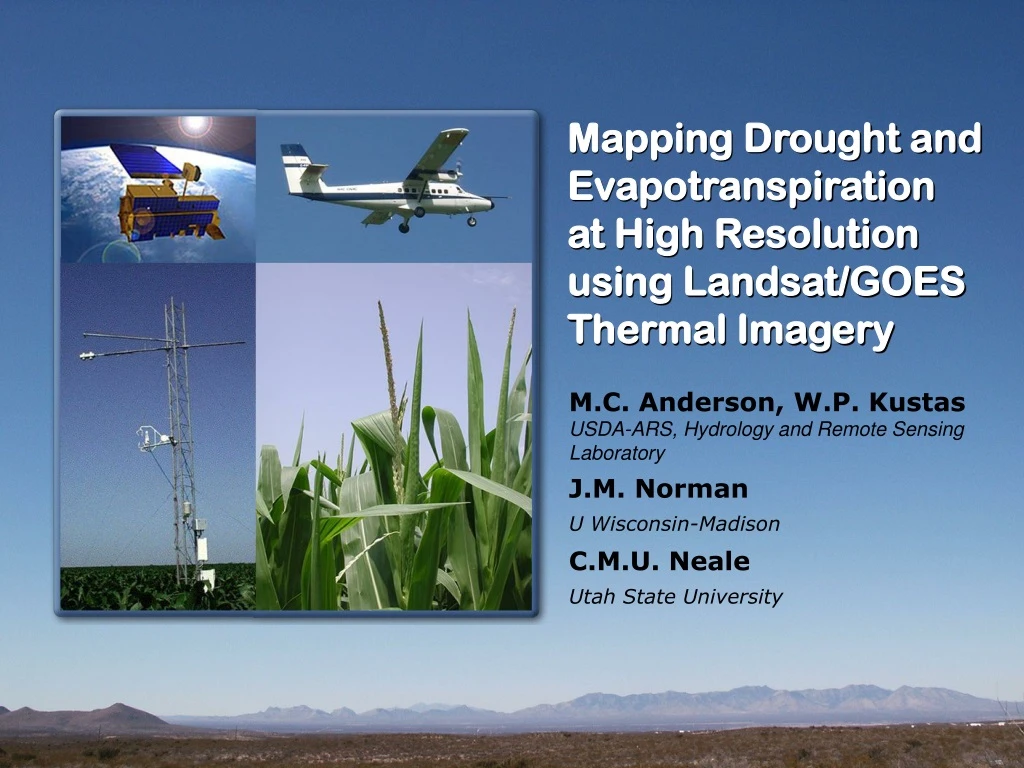
Mapping Drought and Evapotranspiration at High Resolution using Landsat/GOES Thermal Imagery M.C. Anderson, W.P. Kustas USDA-ARS, Hydrology and Remote Sensing Laboratory J.M. Norman U Wisconsin-Madison C.M.U. Neale Utah State University
OBJECTIVES • Develop multi-satellite thermal ET/drought product at 30m – 10km resolution • GOES: Hourly continental coverage at 5-10km resolution • Landsat: Periodic targeted disaggregation to 30-120m resolution 2) Develop technique for sharpening thermal band imagery to shortwave band resolution • i.e., sharpen 60/120m (L7/L5) resolution thermal images to 30m
!! IMPENDING THERMAL DATA GAP Land Surface Temperature and Emissivity Earth System Data Record (LSTE-ESDR) Table from S. Hook
OBJECTIVE 1 Map ET and moisture stress (drought) using thermal infrared (TIR) and vegetation index (VI) remote sensing data. Varying soil moisture conditions yield distinctive thermal signatures: • depletion of water from the soil surface layer causes the soil component of the scene to heat up rapidly. • moisture deficiencies in the root zone lead to vegetation stress and elevated canopy temperatures
? Operational Drought Monitoring Palmer Drought Index Antecedent precipitation Vegetation Health Index NDVI-NDVImin VCI = NDVImax-NDVImin Tmax-T TCI = Tmax-Tmin VHI = aVCI + (1-a)TCI Evaporative Stress Index ESI = 1 – AET/PET
SURFACE TEMPERATURE EVAPOTRANSPIRATION ALEXI (GOES Sounder) Continental ALEXI (GOES Imager) Regional DisALEXI (Landsat) Watershed DisALEXI (USU aircraft) CORN Field scale Latent Heat (Wm-2) Temperature (C) SOY
2002 2003 2004 APR Dry MAY JUN DESI JUL AUG Wet SEP Monthly anomalies
2003 DESI DZ 2002 DESI DZ APR MAY JUN JUL AUG SEP
2004 DESI DZ 2002 DESI DZ APR MAY JUN JUL AUG SEP
Landsat Multi-scale Drought Monitoring DESI GOES
ESI validation sites Fort Peck Black Hills SMEX02/05 BARC Bondville Bushland SGP97 Walker Branch SMEX04 Sevilleta Goodwin Creek Audubon Gainesville Everglades
TRAD NDVI OBJECTIVE 2 Develop thermal band sharpening technique Idabel, OK NDVI (30-m) TRAD (60-m)
Sharpened Thermal Sharpening Idabel, OK Unsharpened
Latent heat flux with thermal sharpening Unsharpened Sharpened
Simulated MODIS Sharpening (Ames, IA) Unsharpened (1 km) Reference (250 m) Sharpened (250 m)
Simulated MODIS/TM Sharpening (Bushland, TX) Unsharpened (1 km) Reference (250 m) Sharpened (250 m) Reference (120 m) Sharpened (120 m) Reference (60 m) Sharpened (60 m)
Sharpened (30m) Reference (30m) Fraction vegetation cover Temperature (oC) Fraction vegetation cover Anomalies associated with sub-pixel irrigation Unsharpened
Thermal sharpening validation sites WA WY IA UT IL CA OK NM
The importance of Landsat-resolution thermal data 240m 960m 120m 60m Evapotranspiration (W m-2)
The importance of Landsat-resolution thermal data LE (Wm-2) TR (O K) 60 m 120 m 960 m (~ETM+) (~TM) (~MODIS) 29 July 2004 – Southern Arizona (San Pedro River Basin)
Atmosphere-Land Exchange Inverse Model (ALEXI) Regional scale DTRAD - GOES fc - AVHRR, MODIS Landscape scale TRAD - TM, ASTER, MODIS fc - TM, ASTER, MODIS
“Non-Irrigated” subset – Temperature fields uniTrad TsHARP Trad(reference) Fraction vegetation cover Temperature (oC) Fraction vegetation cover
2002 2003 2004 APR Low MAY JUN (Wm-2) EVAPOTRANSPIRATION JUL AUG High SEP
ALEXI Precipitation 2002 2003 2004 Dry Wet ESI anomaly Precipitation anomaly (mm)