Download
1 / 29
300 likes | 459 Views
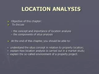
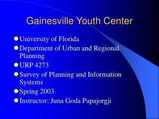
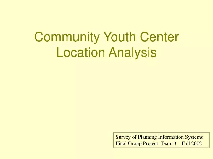
Community Youth Center Location Analysis. Survey of Planning Information Systems Final Group Project Team 3 Fall 2002. Goal Objective. Community Youth Center East Gainesville. Public Access Information Facility Community Resource Internet Accessibility Neighborhood Friendly

E N D
Community Youth Center Location Analysis Survey of Planning Information SystemsFinal Group Project Team 3 Fall 2002
Goal Objective Community Youth Center East Gainesville • Public Access Information Facility • Community Resource • Internet Accessibility • Neighborhood Friendly • Designated Safe Shelter
Critical Criteria for the Center • Demographics • Targeted at youth under 21 years of age. • Provides recreational activities. • Safe haven for social interaction • Construction • Easily accessible for construction vehicles. • Ample opportunity for utilities. • Easy access from surrounding neighborhoods.
Critical Criteria for the Center • Existing Infrastructure • Close proximity to surrounding neighborhoods. • Easily accessed by public transportation. • In proximity to schools. • Security • Designated Safe Haven. • Security provided 24 hours a day. • Standard 911 response time.
Critical Criteria for Center • Land Regulations • Designated “Vacant Residential”. • Located in Northeast tax jurisdiction. • Outside of EPA environmentally sensitive zones. • Located away from businesses holding liquor licenses . • Population Characteristics • Located in moderately low income area. • Moderately high population density. • Area known for high juvenile crime level.
Physical Site Analysis Criteria • Site must be located within jurisdictional boundaries of Alachua County • Must not occupy areas having critical habitat areas, natural streams, or historic structures • Location must not occupy area within a flood zone which would create impediments to construction of parking or facilities • Site must not occupy public lands but have reasonable easy access to major transportation corridors and public transport routes.
Legend Gainesville Municipalities County Boundary Jurisdictional Boundary Alachua County Gainesville URP 4273: Survey of Planning Information Systems Created by URP 4273 Team 3 Source: FGDL Data & URP Planning Information November 2002
Major Criteria • Site must be located within jurisdictional boundaries of Alachua County • Must not occupy areas having critical habitat areas, natural streams, or historic structures • Location must not occupy area within a flood zone which would create impediments to construction of parking or facilities • Site must not occupy public lands but have reasonable easy access to major transportation corridors and public transport routes.
Workflow Process Union Calc Union Query Select Buffer Query Query fema96.shp shapefiles parcels above_sfha union_final vac2—vac5 vacant_select union_final outside_voids
Florida Natural Areas Inventory Legend FNAI Zone A FNAI Zone B FNAI Zone C URP 4273: Survey of Planning Information Systems Created by URP 4273 Team 3 Source: FGDL Data & URP Planning Information November 2002
FNAI Zones Buffer Buffer Union FNAI Analysis Criteria fnai_buffer_100.shp 100-meter FNAI Zone Buffer Union of union_final.shp URP 4273: Survey of Planning Information Systems Created by URP 4273 Team 3 Source: FGDL Data & URP Planning Information November 2002
Natural Streams Buffer Buffer Steram.shp Analysis Criteria 500-meter stream buffer for riparian environment protection URP 4273: Survey of Planning Information Systems Created by URP 4273 Team 3 Source: FGDL Data & URP Planning Information November 2002
Historic Structure Buffer Buffer historic_structure.shp Analysis Criteria East Gainesville 100-meter buffer around all historic structures. URP 4273: Survey of Planning Information Systems Created by URP 4273 Team 3 Source: FGDL Data & URP Planning Information November 2002
Future Land Use Buffer Buffer Query future_landuse.shp URP 4273: Survey of Planning Information Systems Created by URP 4273 Team 3 Source: FGDL Data & URP Planning Information November 2002
Final Union of Buffers and Exports Union future_land_use.shp fnai a,b,c stream.shp historic_structure.shp union_final Union Process to combine buffers and exports into a single shapefile. URP 4273: Survey of Planning Information Systems Created by URP 4273 Team 3 Source: FGDL Data & URP Planning Information November 2002
Union Calculate Process Calc union_final union_final
Major Criteria • Site must be located within jurisdictional boundaries of Alachua County • Must not occupy areas having critical habitat areas, natural streams, or historic structures • Location must not occupy area within a flood zone which would create impediments to construction of parking or facilities • Site must not occupy public lands but have easy access to major transportation corridors and public transport routes
Special Flood Hazard Area Query Union Calc fema96.shp above_sfha union_final outside_voids
Special Flood Hazard Area SFHA Areas Above Flood Plain Gainesville “ SFHA are areas inundated by 100-year flooding with average depths > 1 foot …or an area that is determined to be outside the 100- and 500-year floodplains…” — FDGC Metadata East Gainesville URP 4273: Survey of Planning Information Systems Source: FGDL Data & URP Planning Information Created by URP 4273 Team 3 November 2002
SFHA and Exclusion Areas SFHA Areas Above Flood Plain Union of Exclusions and Voids SFHA Flood Areas Above Flood Plain were generated with ArcGIS Geo-Processing by Intersect of shfa.shp and union_final.shp. The desired regions are above the SFHA Flood Plain and not within Areas of Exclusion East Gainesville URP 4273: Survey of Planning Information Systems Source: FGDL Data & URP Planning Information Created by URP 4273 Team 3 November 2002
SFHA Intersection SFHA Areas Above Flood Plain SFHA Areas Above Flood Plain Union of Exclusions and Voids The Flood Plain Intersect creates regions that are above the SFHA Flood Plain and not within Areas of Exclusion East Gainesville URP 4273: Survey of Planning Information Systems Source: FGDL Data & URP Planning Information Created by URP 4273 Team 3 November 2002
Major Criteria • Site must be located within jurisdictional boundaries of Alachua County • Must not occupy areas having critical habitat areas, natural streams, or historic structures • Location must not occupy area within a flood zone which would create impediments to construction of parking or facilities • Site must not occupy public lands but have easy access to major transportation corridors and public transport routes
Result Vacant Parcels SFHA Areas Above Flood Plain Vacant Parcels • PUSE Code (0000, 1000) • Parcels 2-5 acres in size • Selected By Location • Above the Flood Plain • Not in Area of Exclusion East Gainesville URP 4273: Survey of Planning Information Systems Source: FGDL Data & URP Planning Information Created by URP 4273 Team 3 November 2002
Vacant Parcel Identification URP 4273: Survey of Planning Information Systems Source: FGDL Data & URP Planning Information Created by URP 4273 Team 3 November 2002
Conclusions • The data presented provided ample information to find a site meeting the goal objective. • Some data required additional steps involving tabular manipulation to accommodate queries needed to find suitable sites. • Geo-Processing Wizards sometimes required multiple attempts to return useful thematic datasets—wizards did not always accomplish what was expected. Heather ScottBrian NiemannChuck Buggs Heather AldenAndrew Connelly