Download
1 / 3
30 likes | 204 Views
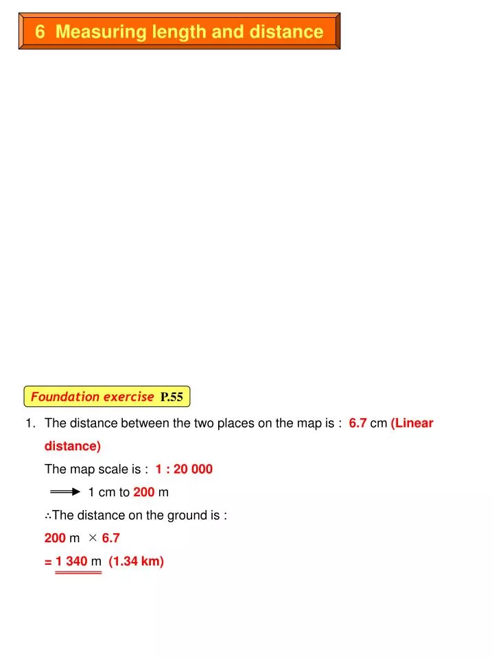
6 Measuring length and distance. Foundation exercise P.55. 1. The distance between the two places on the map is : 6.7 cm (Linear distance) The map scale is : 1 : 20 000 1 cm to 200 m ∴The distance on the ground is : 200 m 6.7 = 1 340 m (1.34 km ).

E N D
6 Measuring length and distance Foundation exerciseP.55 1. The distance between the two places on the map is : 6.7 cm (Linear distance)The map scale is : 1 : 20 0001 cm to 200 m∴The distance on the ground is :200 m 6.7 = 1 340 m (1.34 km)
2. The length of Deep Bay Road on the map is 5 cm. The map scale is : 1 : 20 000 1 cm to 200 m ∴The length of Deep Bay Road on the ground is :200 m 5 = 1 000 m3. a) The length of the river on the map is 11.5 cm. The map scale is : 1 : 20 000 1 cm to 200 m ∴The length of the river on the ground is :200 m 11.5 = 2 300 mb) The distance on the map is : 10.8 cm (Linear distance) The map scale is : 1 : 20 000 1 cm to 200 m ∴The distance on the ground is :200 m 10.8 = 2 160 mc) With reference to 2b), the length of the river is 2 300 m. ∴The number of hours need to complete the journey is :2 300 m 5m = 460 minutes = 7.67 hours (i.e. 460 minutes 60 minutes)
4. The longest section of the park on the map is 4.2 cm. (Refer to right diagram.) The map scale is : 1 : 20 000 1 cm to 200 m ∴The longest section of the park is :200 m 4.2 = 840 m5. a) The length of the light transit railway on the map is 5.5 cm The map scale is : 1 : 20 000 1 cm to 200 m ∴The length of the light transit railway on the ground is :200 m 5.5 = 1 100 mb) With reference to 5a), the length of the railway is 1 100 m. ∴The time needed to complete the journey is :1 100 m 60 km = 1 100 m 60 000 m = 0.0183 hour = 1.1 minutes (i.e. 60 minutes 0.0183)