Download
1 / 20
200 likes | 404 Views
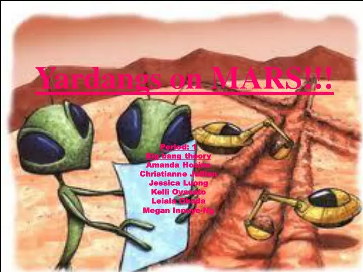
Yardangs on MARS!!!. Period: 1 Big bang theory Amanda Hosino Christianne Jullian Jessica Luong Kelli Oyasato Leiala Okuda Megan Inouye-Ng. Research Question. Where are the most Yardangs located? Why is our science question important?

E N D
Yardangs on MARS!!! Period: 1 Big bang theory Amanda Hosino Christianne Jullian Jessica Luong Kelli Oyasato Leiala Okuda Megan Inouye-Ng
Research Question • Where are the most Yardangs located? • Why is our science question important? Our science question is important because then, it will show us the clues to where Yardangs are located and we can find similarities between Earth and Mars. • Why is your science question interesting? Our science question is interesting because it lets us try to figure out where we could find various places that contains Yardangs.
Hypothesis • If there is an area that has lots of erosions…then the most Yardangs would be found there…because Yardangs are found on surfaces that erode easily.(everyones hypothesis) • If Yardangs are formed from sand particles blown in the wind…then it would be found where sand storms occur…because their found on surfaces that erode easily. (Megan's hypothesis)
Methods • Website list: http://themis.asu.edu Data collection steps on site: • Go to the http://themis.asu.edu website; • Click on the “image gallery” • Click on THEMIS image by topic • Click on Wind/Dust • Look for pictures of Yardangs Image ID #- Latitude/ Longitude- Misc. Data-
Hypothesis Christianne -If… there wasn’t any air, no wind, and no sand… -Then… there wouldn’t be any yardangs -Because… for yardangs to form, you need wind and sand. Megan -If…yardangs are formed from sand particles blown in the wind.. -Then…it would likely be found in a sandstorm, or windy areas -Because…their formed with lots of wind.
Bibliography http://www.google.com/imgres?q=yardangs&hl=en&safe=strict&sa=X&gbv=2&tbm=isch&prmd=imvns&tbnid=eHB1uewa9rQWZM:&imgrefurl=http://www.flickr.com/photos/acoran/4395672785/&docid=yeyUWJj9XMWYjM&imgurl=http://farm5.static.flickr.com/4001/4395672785_59ac5b0138.jpg&w=500&h=449&ei=_KHKTrXNA6jmiAKTiNHbDw&zoom=1&iact=hc&vpx=331&vpy=265&dur=3872&hovh=213&hovw=237&tx=117&ty=100&sig=117957198094131466119&page=9&tbnh=114&tbnw=135&start=127&ndsp=19&ved=1t:429,r:8,s:127&biw=1003&bih=636
Our paragraph: • Most of the points are in the green and near the equator. They are also mostly in between 90 to 180 longitude range and the -30 and 30 latitude range. The points are clustered together.