Download
1 / 7
80 likes | 358 Views
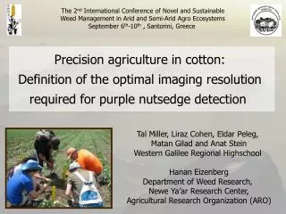
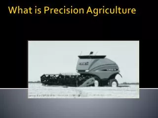
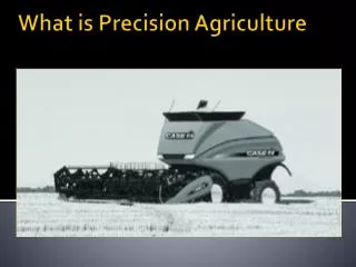
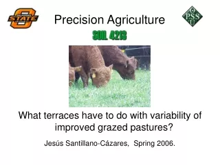
Precision Agriculture. Introduction to Agriculture, Food, and Natural Resources. Unit 6 – Lesson 6.3 This is My Land. Precision Agriculture. Farm management strategy Uses Global Positioning System and Geographic Information system Goal is to improve agricultural production and efficiency.

E N D
Precision Agriculture Introduction to Agriculture, Food, and Natural Resources Unit 6 – Lesson 6.3 This is My Land
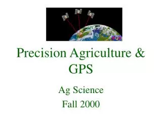
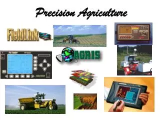
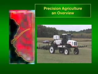
Precision Agriculture Farm management strategy Uses Global Positioning System and Geographic Information system Goal is to improve agricultural production and efficiency. Image source: http://earthobservatory.nasa.gov/IOTD/view.php?id=1139
Global Positioning System • System of Satellites • 24 satellites surrounding the earth • Use triangulation to determine the location x
Determining Location with GPS Location is found by • Latitude – distance north or south of the equator • Equator-– circle around the earth an equal distance from north and south pole • Longitude – distance east or west of the Prime Meridian • Prime Meridian – line that runs north and south and divides the earth into an east and west half
Geographic Information System • Integrates the multiple types of data about a specific point marked with a GPS unit • Normally a computer application • Can be used to improve productivity of a producer
References Lee, J. (2001). Emerging technologies in agriculture.Electronic Instructional Library Lesson Plans. Alexandria, VA: The National Council for Agricultural Education. CAERT. (2009). Understanding land measurement and legal descriptions. Retrieved from http://mycaert.com doi: L090008